You are here
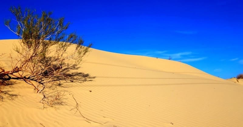
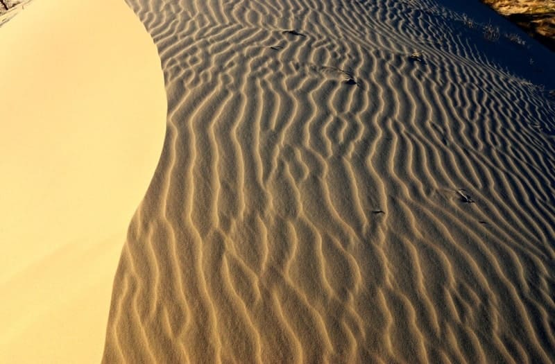
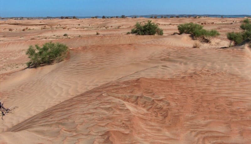
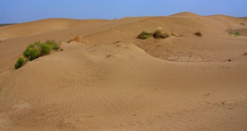
Saryesik-Atyrau sandy desert.
Inbound tourism in Kazakhstan.
“Nature is an infinite sphere whose center is everywhere”
Ralph Waldo Emerson.
Water tourism in Kazakhstan.
Saryesik-Atyrau (also Sary-Ishikotrau) sandy desert is located in the south and southeast of Lake Balkhash, north of the Malaysary ridge in the Ili district of the Almaty region and in the Koksu district of the Zhetysu region.
The sands of Saryesik-Atyrau are located in the Balkhash-Alakol basin. The Ili River crosses the desert, flowing into Lake Balkhash. Part of the rivers flowing from the slopes of the Dzungarian Alatau (Karatal, Aksu, Lepsy) also cross the sands of Saryesik-Atyrau, flowing into Balkhash.
Other, smaller rivers are lost in the sands. The length of the sands from the southeast to the northwest is 220 kilometers, the maximum width in the central part of the sands reaches 75 kilometers. The eastern border of the Saryesik-Atyrau sands is the valley of the Karatal River, which stretches from the northern slopes of the Dzungarian Alatau to the mouth of the southern coast of Lake Balkhash.
From the west, the desert is bordered by the Akdala steppe and the wide valley of the Ili River, which from the west goes around the Malaysary ridge and near the village of Araltobe begins to form into a delta.
From the south, the border of the sands is the Malaysary latitudinal range, the small Kokshiel mountains with the dominant Kokshiel mountain 1187 meters above sea level and the Ashudasta mountains with the dominant Ashudasta mountain 1162.6 meters above sea level.
From the north, the desert borders on the southern shores of Lake Balkhash. In the north, the Saryesik-Atyrau desert is adjoined by the Bestas sands, which border on the southern coast of Lake Balkhash. South of the sands of Bestas lie the sands of Irijar.
In the central part in the east there are the Zhamankum sands, which border on the valley of the Karatal river. In the southeast of the Saryesik-Atyrau desert lie the sands: Aralkum, Zhetizhal and Moyinkum. In the southeastern part of the desert lie the sands of Juankum and Zhinishkekum.
The highest nameless mark in the Saryesik-Atyrau desert is located in the southeastern part, its height is 679 meters above sea level. The administrative border of the Zhetysu and Almaty regions runs along the central part of the sands from south to north.
In the northwestern part of the sands there is the ancient settlement Aktam and in the tract Agashayak the ancient settlement of the same name. The ruins of Aktam, Agashayak belong to the pre-Mongolian period.
The remains, apparently, of caravanserais that stood on the Silk Road, in the direction of Dzhezkazgan, Central Kazakhstan, on the banks of the Ili River. Subsequently, the river receded from these places to a distance of about 100 kilometers to the west and the caravanserais remained unclaimed.
Remains of caravanserai walls have been preserved. So far, five such monuments have been found, 4 of them are located in the ancient Ili delta. All of them are on the same line at a distance of 25 - 30 kilometers from each other.
Approximately this distance can be covered in a day. It can be assumed that these small fortress cities served as protection for the inhabitants and trade caravans from the raids of warlike tribes.
Geographical coordinates of Saryesik-Atyrau (Sary-Ishikotrau) desert: N45°18'56 E76°21'48
Authority:
"Kazakhstan. National encyclopedia" (1998 - 2007).
Photos by
Alexander Petrov.


