


![]()
You are here
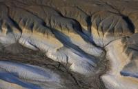
Basgurly depression.
Tours to Central Asia and Mangyshlak.
"An ordinary tourist wants to see places where there are no tourists."
On Silk Road Tour and Mangyshlak.
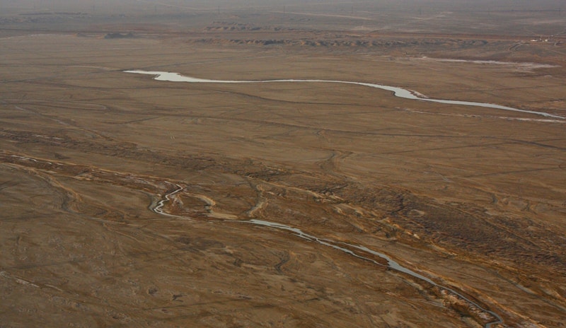
The Basgurly depression is located in the south of the Mangyshlak peninsula in the Kenderli-Kayasan depression, 20 kilometers east of the Kuandy depression to southern depression Zhasgurly in the Karakiya region, Mangistau region, Kazakhstan.
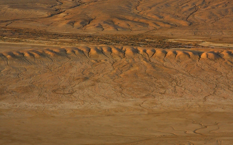
The depression is almost oval in shape, stretching from west to east and further to the northeast, with a length of 16.5 kilometers, with a width of 3.5 kilometers in the middle. The depression is characterized by steep precipitous slopes indented by ravines.
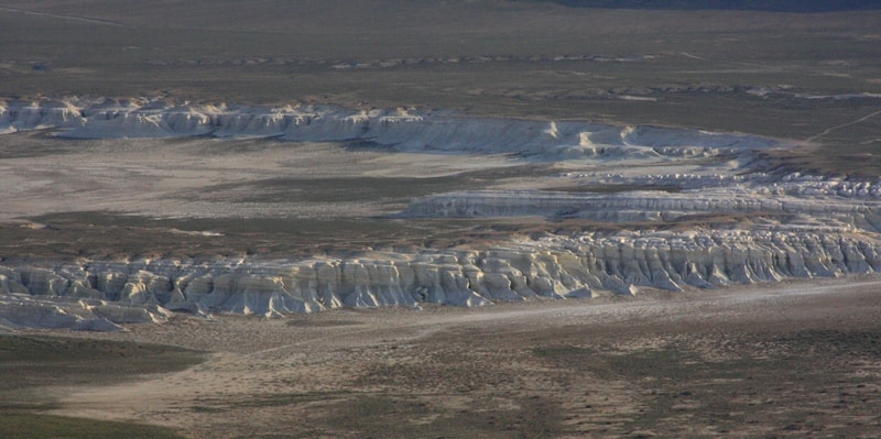
Its flatter western slope gradually turns into a slightly undulating accumulative plain, dividing the depression into two halves - Zhazgurly and Basgurly. The southern and eastern sides of the depression are framed by steep cliffs of shell rock and chalk.
It has been established that the depressions were formed during arid epochs during 5 - 6 million years (in the post-Pontic time) due to salt disintegration of rocks and deepening by the wind, therefore they are "relict".

Authority:
Alexander Petrov. "On the origin of the drainless depressions of South Mangyshlak". V.V. Sholokhov. Institute of Physics of the Earth, RAS, Moscow, Russia.
Photos by:
Alexander Petrov.