


![]()
Вы здесь
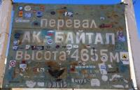
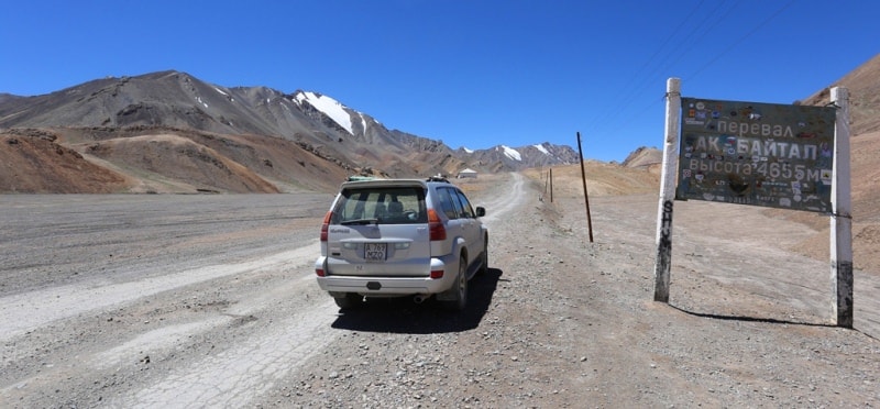
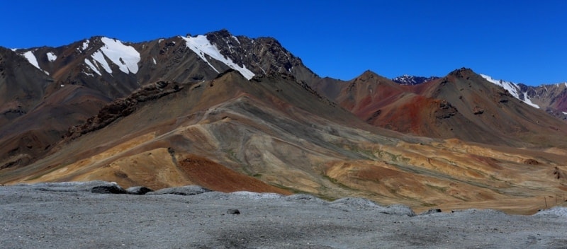
Pass of Ak-Baital.
Drive through Ak Baital Pass.
“Pamir (Pamirs), high plateau in the Middle. Asia, 82,000 square kilometers in the upper reaches of the Amu Darya and Tarima rivers, between 37 ° and 39 ° 30 ′ s. w. and 72 ° and 75 ° 30 ′ in. d., to the north limited by the Tien Shan ranges, in the south - to the Hindu Kush. The Pamir consists of a series of river valleys and lake basins, elevated 10-14 thousand feet above sea level, surrounded mostly by snow ridges of 17000-23000 feet, some peaks of which exceed 25000 feet. (Mustag-ata, 25800 ft.); passes at an altitude of 12,000 to 15,000 feet (Ak Baital, 15,525 feet); snow line 15,000 - 17,000 feet glaciers descend to 13,000 feet). The climate is harsh and dry. Flora is poor, there are almost no trees. The fauna is rich: bears, foxes, mountain sheep, from domestic animals - a yak, many birds and fish. The population is Kyrgyz nomadic herders. In the XIII century, the Pamir was visited by the first European Marco Polo. A lot of research has been done by Russians (Fedchenko, Mushketov, Grum-Grzhimailo, Grombchevsky and others), the British (Forsyth, Elias and others), the Swede Sven-Khedin and others. Since 1895, the Pamir was divided between Russia, China, Afghanistan and Bukhara. The Russian part of the Pamirs, about 40,000 square kilometers, is a special parish of Osh district, Ferghana region; see Cobbold (1900), Filchner (1903), Olufsen (1904)"
Small Encyclopedic Dictionary of Brockhaus and Efron. MESBE. Russia, St. Petersburg, 1907 - 1909
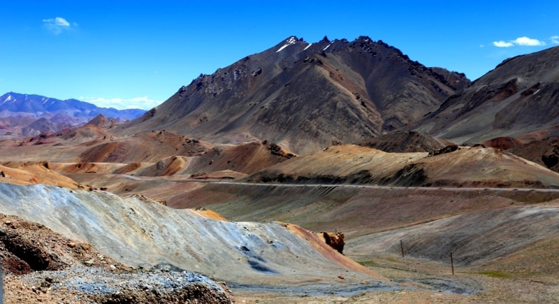
Sights of pass Ak-Baital.
Ak-Baital pass is located in the Eastern Pamirs, in the Akbaital mountain range on the Osh-Khorog highway, opened in 1940, located in the watershed jumper separating the Muzkol and Sarykolsky ranges. The rise from the Muzkol valley is relatively gentle, from the valley of South Akbaital - more abrupt, with serpentines.
The road which is one of the branches of the famous Silk Road. The pass Ak-Baital, is the highest automobile passes in the Republic of Tajikistan, its height is 4 655.1 meters above sea level. To the north of the Akbaital ridge is the Kyzyldzhiya mountain range; in the south, the Muzkol ridge.
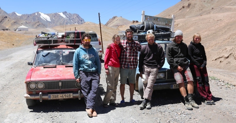
The pass is available all year round.
Geographic coordinates of the Akbaytal pass: N38 ° 33'40.13 "E73 ° 35'53.12"
Authority and photos
Alexander Petrov.