


![]()
Вы здесь
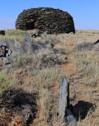
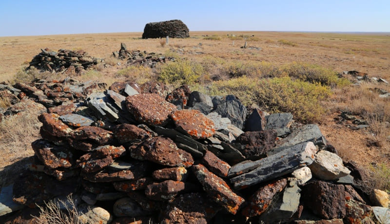
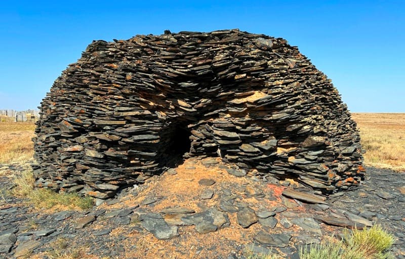
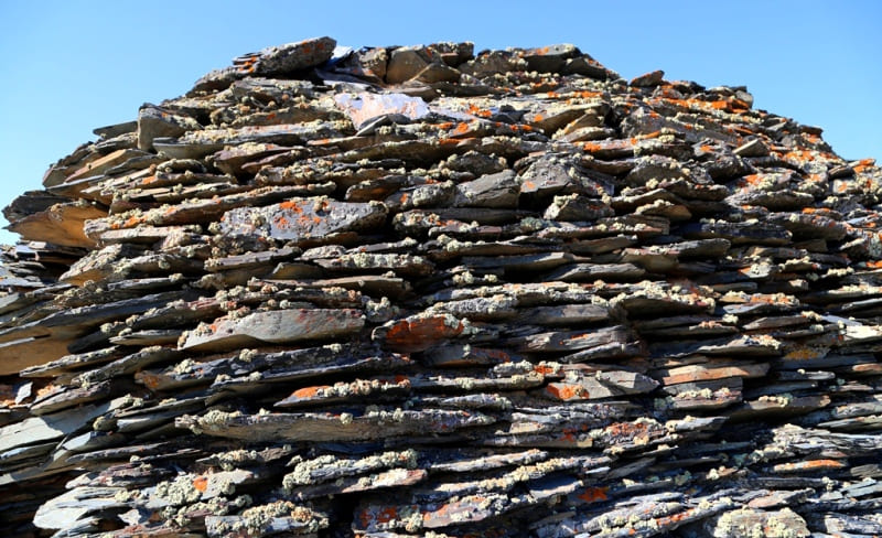
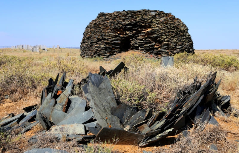
Dyn Uytas.
Monuments of material culture of Ulytau.
“The Tan-shu says. In the building built next to the grave they place a painted image of the deceased and a description of the battles in which he participated during his life.”
A.H. Margulan.
List of monuments in Ulytau.
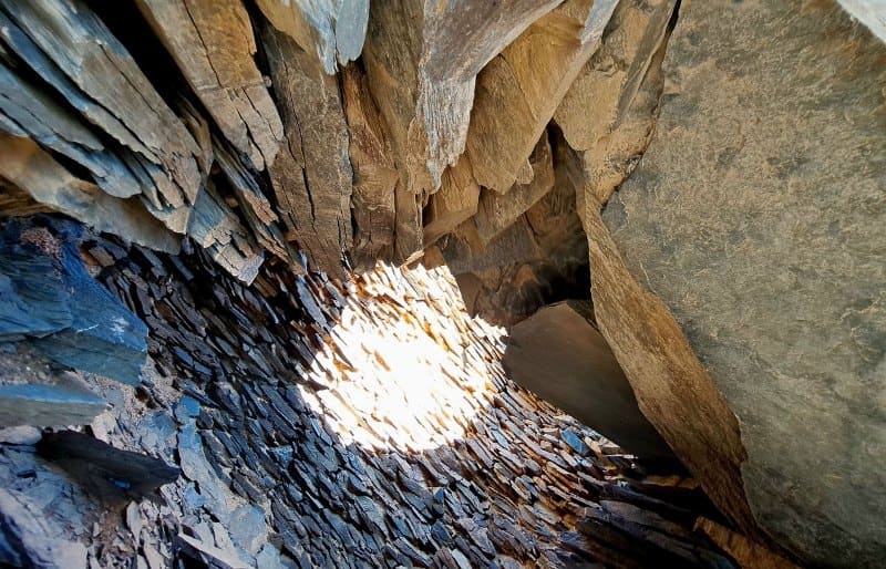
Dyn (dyn- dome-shaped structure made of wild stones) Uytas is located at an altitude of 358 meters above sea level, located in the central part of the ancient Uytas cemetery, 888 meters northwest of the right bank of the Baikonir River, 50 meters north and slightly west of the Bulanty memorial complex, 3.1 kilometers to the southwest from the Lakbay winter road, 16.2 kilometers southwest from the village of Baikonyr, 4 kilometers west from the Lakbaysay tract in the Ulytau district of the region of the same name.
We find the first evidence of dyn in one of the Orkhon tombstone inscriptions, which is cited by A. Margulan and which says: “Men angar tai, bark zharatturtym,” which means “I ordered the construction of this stone structure.” According to Alkey Khakanovich, “tash-bark” is the ancient Turkic designation of the Kazakh “tas uy” or “uytas”.
The fact that dyn and uytas are religious buildings is evidenced by various sources cited by A. Margulan:
“The Tan-shu says. In the building built next to the grave they place a painted image of the deceased and a description of the battles in which he participated during his life.”
In the Turkic “tash-bark” structures, Russian scientists see an analogy to temples or chapels. In this regard, S.V. Kiselev wrote: “At the tombs of khans, chapels were built with the image of the deceased and stone slabs. Statues of closest relatives were placed in rows near these structures.”
Academician Z. V. Radlov examined the “tash-bark” type structures and stone sculptures at the monuments of Belgi Kagan and Kul-Tegin. Based on these analogies, it can be argued that the Uytas are religious buildings, like the Tash-bark, and they date back to the VIth - VIIIth centuries.”
These statements emphasize the belonging of the Dyns and Uytas to structures related to the steppe aristocracy and political elite.
Geographic coordinates of dyn Uytas II: N47°42'25.55" E65°55'07.84"
Note:
If you are using geographic coordinates for Google Earth or Google Maps navigation systems, you must remove the last two digits from geographic coordinates and " (hundredths of a second) and enter the result in the input line. Example: N51°44'09.67" E72°39'40.81" = N51°44'09 E72°39'40
Authority:
Alexander Petrov.
https://culturemap.kz/ru/object/soorujenie-ekidyn-vii-ix-vv
Photos by:
Alexander Petrov.