


![]()
You are here
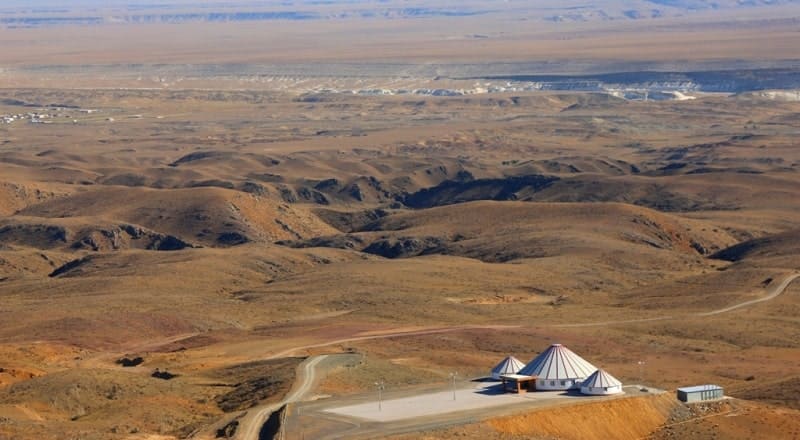
Western Karatau on Mangyshlak.
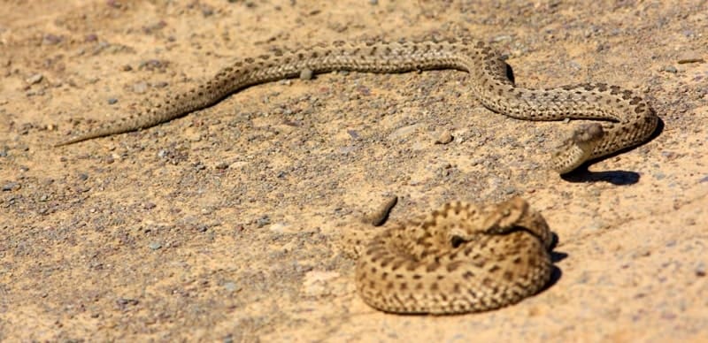
Wildlife Tours on Mangyshlak.
“may came home with a smooth round stone as small as a world and as large as alone”
E.E. Cummings.
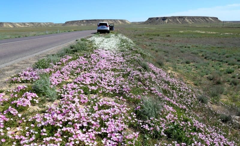
Flower Tours on Mangyshlak.
The Western Karatau Ridge (translated into Kazakh, Black Karatau, Batys Karatau) belongs to the Karatau mountain system on the Mangyshlak Peninsula in Mangystau region in western Kazakhstan. The length of the Karatau Mountains from the south-west to the north-east is 130 kilometers, the highest altitude is up to 532.7 meters above sea level.
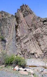
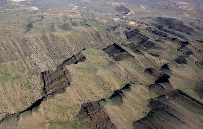
The mountains are carved by deep ravines, composed of sandstones, limestones, marls, clays and sands. The ridge of the Western Karatau belongs to the Karatau mountain system located in the central part of the Mangyshlak peninsula.
The length of the Western Karatau ridge from the north-west to the south-east is 44 kilometers, the width, from north to south, in the vicinity of the Otpan mountain, is 11 kilometers. The highest mountain is Otpan with a height of 532.7 meters above sea level.
Mount Otpan is located in the central part of the Western Karatau ridge between the Besbulak tract in the south and the Karasai tract in the north. The ridge is composed of rocks of the Permian and Triassic periods: metamorphosed sandstones, shales, conglomerates, covered by ancient mountainous sediments of the Quaternary period.
The Western Karatau mountain range was formed as a result of new tectonic movements of the earth's crust. In the ridge there are deposits of oil, gas, iron, copper, coal. The soils of the mountains are gray earthly.
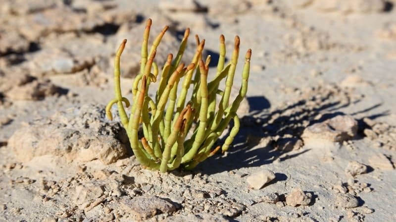
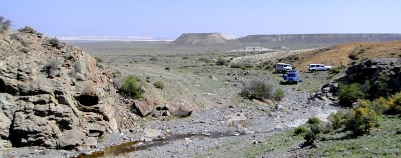
The flora is represented by wormwood, saltwort-sagebrush semidesert (Hay Pendergast) species, feather grass with the participation of shrubs and other plants. At the foot of the ridge are freshwater springs. Valleys and ravines are used as pastures.
The Western Karatau Ridge is a continuation of the Eastern Karatau Ridge, the ridges in the southeastern part are separated by a slight decrease of 3 kilometers in length, between them is the village of Shetpe the administrative center of the Mangystau district.
At 1.5 kilometers to the northeast of the eastern slopes of the Western Karatau, there is an ancient settlement of Kyzylkala, which had the original name Akmysh, and there is also a picturesque tract Akmysh. On the eastern slope of the Western Karatau, the Samal gorge is located with a source of fresh water, from here the water supply system is laid to the Akmysh tract, thanks to this life-giving moisture on Akmysh trees grow.
This is a local oasis located in the west of Mount Sherkala. The surroundings of the mountains of Western Karatau are picturesque, they keep the historical and natural attractions of the Mangystau mountains.
Geographical coordinates of Western Karatau ridge: N44°12'47 E51°50'26
Authority and photos
Alexander Petrov.