


![]()
You are here
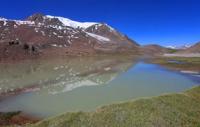
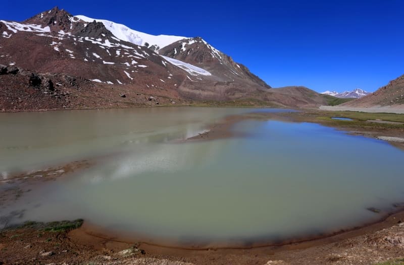
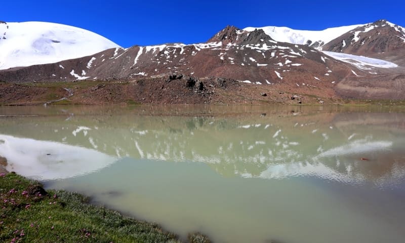
Lake Barskoon.
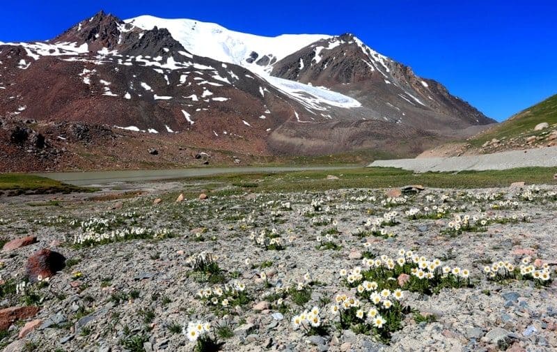
Mountain lakes in Terskey Ala-Too mountains.
“Having climbed it, we found ourselves in a grassy snowless valley between snowy peaks, along which the road seems horizontal, its rise is so inconspicuous here, weak to the point that numerous springs that fill this extreme peak of the Barskoon Gorge form a saz from which Barskoon flows in a stream and, entering its upper ravine, two hundred sazhens flows under a stone scree. The transition from ascent to descent is completely imperceptible, and with all my attention I could not notice it; still the same valley, the same saz, on the western side of its small lake, which Protsenko at the end of May 1862 found covered with thick and hard ice, and on October 4, to my amazement, I found it open, although the keys of the saz were already frozen and icy , with rare exceptions: in some places between the frozen hummocks it was swampy, and water oozed, but the stream flowing from the southern end of this continuous saz is already one of the peaks of the Naryn, while Barskoon flows from the northern end.»
"Journey through the Turkestan region and the study of the mountainous country of the Tien Shan." Done on behalf of the Imperial Russian Geographical Society. Done by N. Severtsov, Doctor of Zoology, member of the Imperial Russian Geographical Society and other scientific societies. St. Petersburg. 1873
Lakes of Issyk-Kul region.
The flowing, fresh lake Barskoon is located at an altitude of 3750 meters above sea level, located 900 meters southeast of the Barskoon pass on the southern slope of the Terskey Ala-Too ridge in the Jety-Oguz district of the Issyk-Kul region.
A stream flows from the pass, which flows into Lake Barskoon, soon after 1.2 kilometers it flows into Lake Dzhashyl-Kel West, located at an altitude of 3779.1 meters above sea level. The Arabel-Su River, 41 kilometers long, flows out of Lake Barskoon, which is one of the rivers of the headwaters of the Naryn River.
The length of the lake from southeast to northwest is 500 meters, the largest width in the central part of the lake is 160 meters. Around the lake there are peaks reaching a height of more than 4000 meters and glaciers.
On the northeast side of the lake are nearby, nameless peaks 4520 and 4614.4 meters above sea level. On the western side of the lake are nearby, nameless peaks 4386 and 4164 meters above sea level. To the south of the lake, the relief levels off and becomes low and gentle, which passes into the Arabel valley located on a syrt plateau between the southern slopes of the Terskey Ala-Too ridge and the northern slopes of the Sook ridge.
To the north of the lake there is an automobile road connecting the syrts of the Inner Tien-Shan with the Issyk-Kul valley, and a high-voltage power line. By road A 364 you can get to the Kumtor mine, the Karasai border outpost, the Uchkoshkon deposit, and through the Ashu-Suu pass you can get to the Uzengegush river valley.
At 8.6 kilometers to the south-west of the pass is the dominant mountain Chymchyk with a height of 4467.2 meters above sea level.
Geographic coordinates of Lake Barskoon: N41°53'19.99" E77°41'55.74"
Authority and photos by
Alexander Petrov.