


![]()
You are here
Ketmen mountains.
Tours in mountains of Ketmen.
“Starting from the pass over the ridge during our descent, I could constantly enjoy the wonderful panorama of the entire Tien Shan between the meridians of the famous Musart Mountain Crossing and the western tip of Lake Issyk-Kul..."
P.P. Semenov-Tian-Shansky.
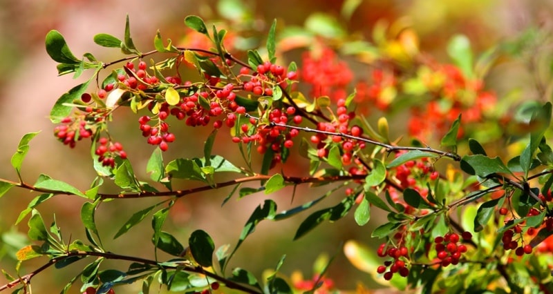
Ketmen (tool) is an old hoe type manual tool used in Central Asia.
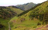
Traveling in mountains of Central Asia.
The Ketmen mountains are located in the eastern part of the Almaty region, almost in a latitudinal direction from the southwest to the east, northeast of the Kungey Alatau mountains, 44 kilometers south of the left (southern) bank of the Ili River, north of the Terskey Alatau ridge, on the territory of Kegen, Narynkol, Uygur and Panfilov districts of Almaty region.
The total length of the Ketmen mountain range is 211 kilometers. It should be noted that only 120 kilometers of mountainous surface is located on the territory of Kazakhstan, the rest is located in the Republic of China. The greatest width in the western part of the ridge is 32 kilometers, in the eastern 54 kilometers.
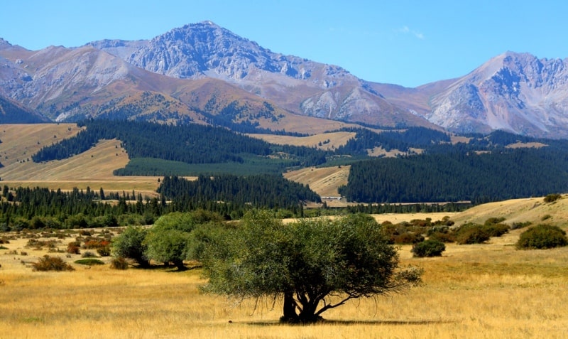
In the main ridge of the Ketmen mountains in the Kazakh part, the dominant height is the Heavenly Peak with a height of 3,652.8 meters above sea level, in the southern branch of the Ketmen ridge in the Karatau mountains an unnamed peak rises with a height of 3,728.1 meters above sea level.
The most southwestern part of the ridge is called Temirlik with the dominant Kuraily mountain 2862.1 meters above sea level. In the southeastern part, the ridge is called Karatau, this part of the mountains is separated by a 9-kilometer valley of the Shalkudysu River from the main Ketmen ridge. And finally, the most southeastern mountains, along which the state border runs in the latitudinal direction with the Republic of China, are the Sarytau mountains with a dominant unnamed peak 3345.0 meters above sea level.
The Ketmen Mountains are a high, rather strongly dissected, but quite clearly expressed massif with an ancient, heavily destroyed folded ridge piled up on it. The slopes of Ketmen are dissected by the riverbeds of the Ili basin.
The slopes of Ketmen are gentle, the peaks are leveled. The height of this ridge is on average about 2800 - 3000 meters above sea level, and the peaks of the ancient ridge do not exceed 3300 - 4000 meters above sea level, and do not go beyond the snow line.
To the north, the Ketmen mountains descend into the Ili valley by a series of stepped faults, and from the south they are limited by the vast intermountain valley Shalkudysu-Kegen-Karkara, which is only part of the even more extensive Issyk-Kul-Tekes depression
The peaks do not reach the snow line and do not have glaciers. The Ketmen ridge is composed of effusive rocks, limestones, and granites. The peaks are flat, the slopes are steep, dissected by deep gorges. The lower part of the Ketmen ridge is covered with steppe vegetation; spruce forests grow on the northern slopes.
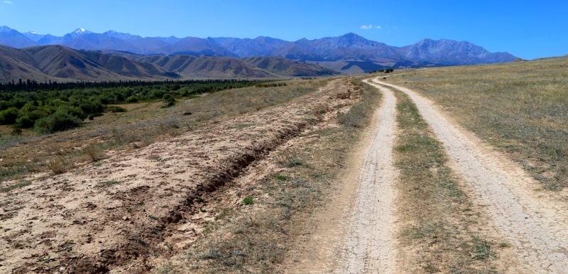
In the system of the Ketmen mountain range, on the slope of the ridge, there is the Ketmen pass with a height of 3040 meters above sea level. A motor road runs through it along the northern and southern slopes of the ridge.
Geographic coordinates of the Ketmen mountain range: N43 ° 16'31.70 "E80 ° 06'06.84"

Authority:
Alexander Petrov.
A.G. Isachenko, A.A. Shlyarnikov. The nature of the world. “Landscapes”, Moscow, “Thought”, 1989.
Photo by
Alexander Petrov.