


![]()
Вы здесь
Khan's headquarters of Khan Ordasy in Ulytau.
Vacation packages in Turkestan.
“If you follow the ancient maps written on the stars, no person will ever understand you. So if you could read these maps, would you follow them? And forever be misunderstood? Or would you close your eyes tightly and pretend to be like everyone else?”
C. JoyBell C.
Sightseeing tours in Shymkent.
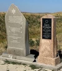
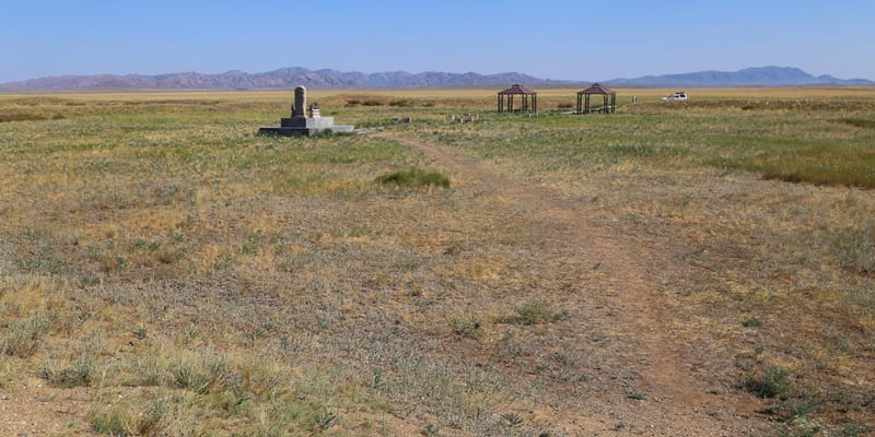
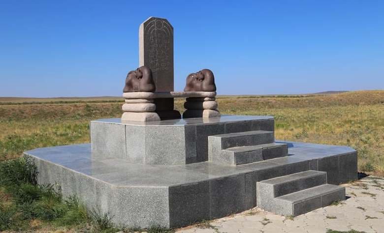
Khan's headquarters Khan Ordasy (indicated on topographic map as ruins of Korgan) is located at an altitude of 440 meters above sea level, located 633 meters from left (western) bank of Karatal River, in northwestern part of Ulytau Mountains, 10.2 kilometers to east and slightly north of village of Sarlyk, 9.6 kilometers northeast of Lake Kenebay, 23.5 kilometers northwest of village of Ulytau in Ulytau district of region of same name.
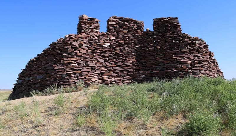
For the first time, the burial ground dating back to the Bronze Age was examined by Margulan in the 70s of the XIIth – XVIIIth centuries (discovered in 1946). The central part of this archaeological site is a stone fence measuring about 11 by 11 meters, oriented to the cardinal points.
The walls of the tomb are laid with masonry in several rows; inside the structure there is a stone box with an area of about 9 square meters made of granite slabs placed vertically. This burial precisely belongs to the Begazy-Dandybaevskaya culture of the Late Bronze Age.
However, besides it, in Aybas-Darasy there are a couple of other tombs of the Bronze Age, as well as mounds of the early Iron Age, as well as monuments dating back to the Middle Ages.
Geographic coordinates of Khan headquarters of Khan Ordasy (ruins of Korgan): N48 ° 47'11 "E66 ° 45'24
Authority and photos:
Vitaly Shuptar. www.guide.kz
Alexander Petrov.
Photos by:
Alexander Petrov.