


![]()
Вы здесь
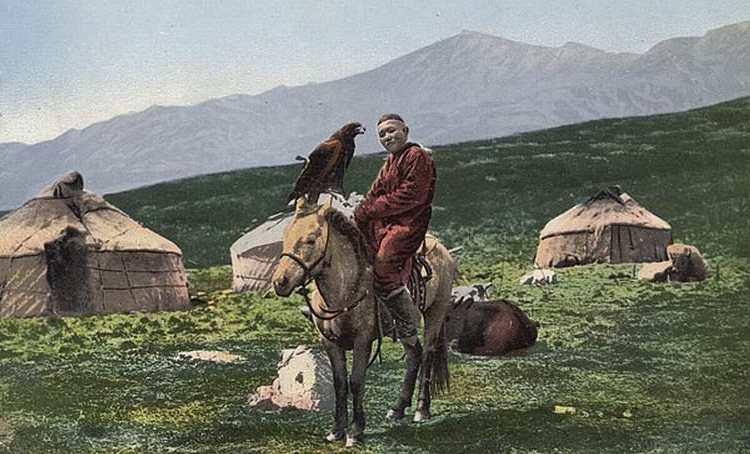
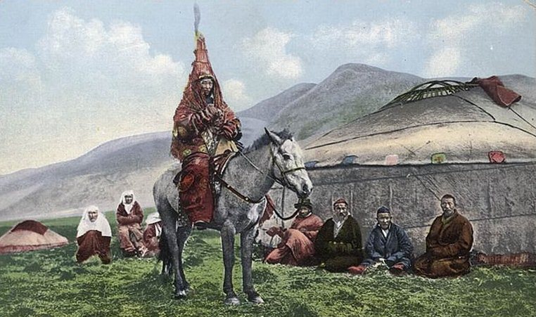
Areas populated by the Oghuz.


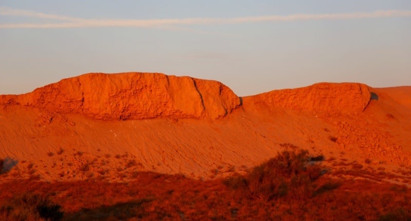
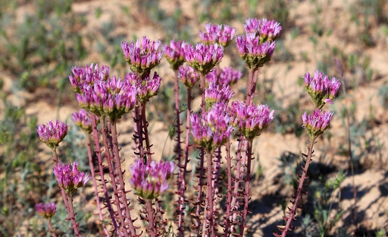
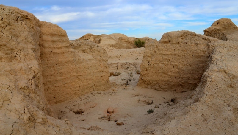
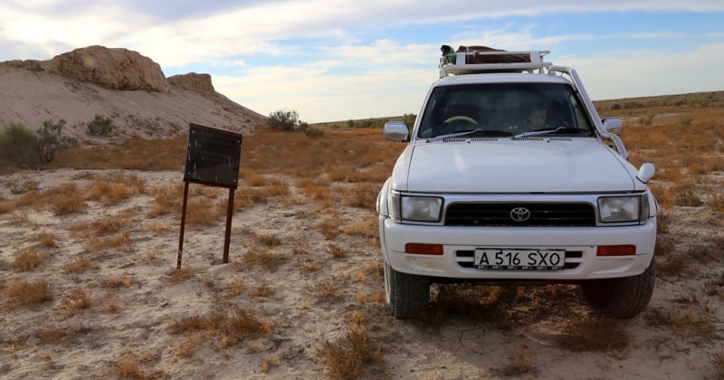
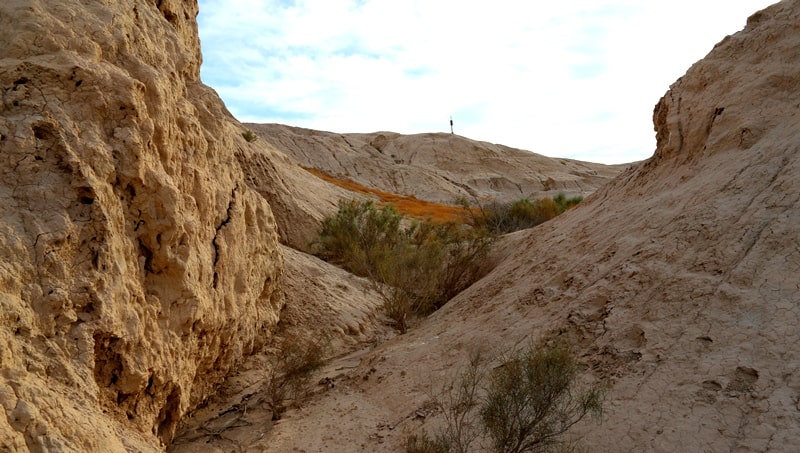
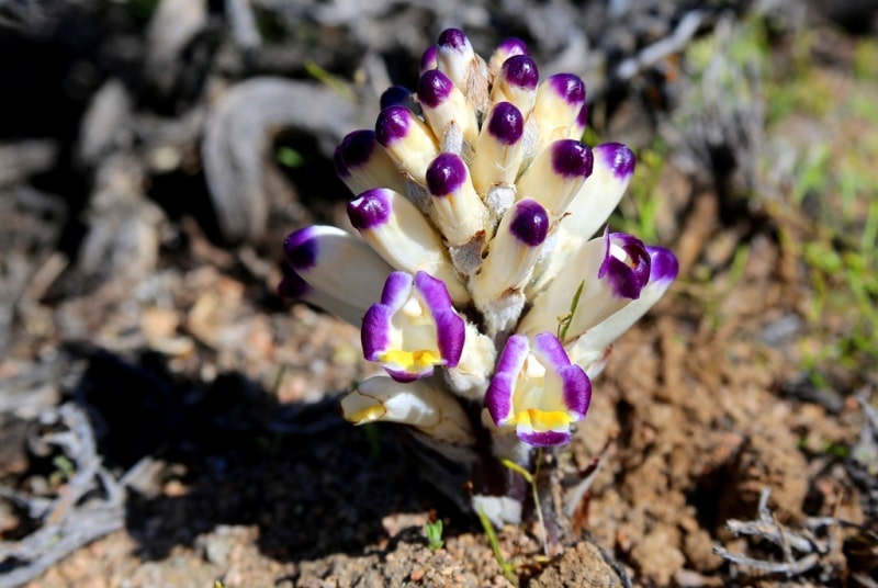
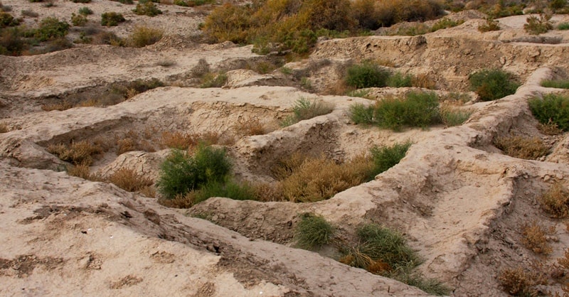
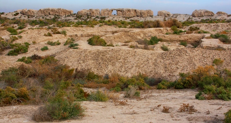
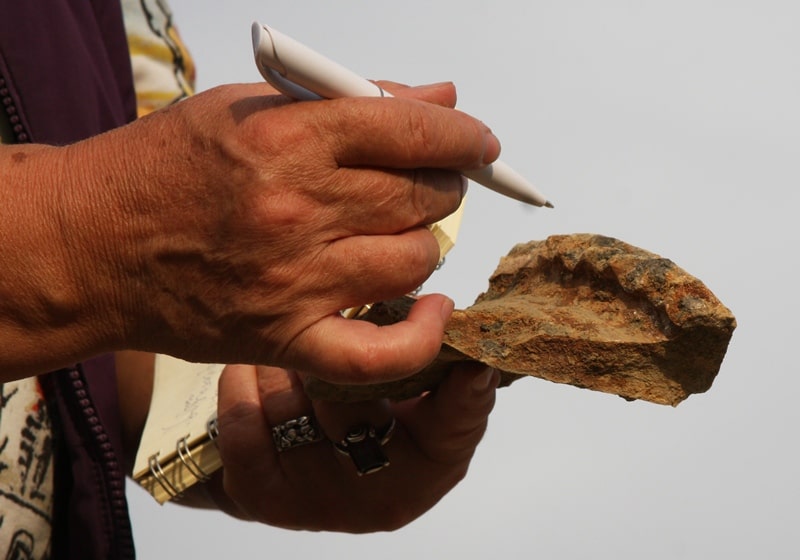
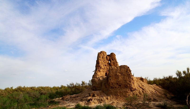
Photo tours of the monuments of the Kyzylorda region.
“For everything in this journey of life we are on, there is a right wing and a left wing: for the wing of love there is anger; for the wing of destiny there is fear; for the wing of pain there is healing; for the wing of hurt there is forgiveness; for the wing of pride there is humility; for the wing of giving there is taking; for the wing of tears there is joy; for the wing of rejection there is acceptance; for the wing of judgment there is grace; for the wing of honor there is shame; for the wing of letting go there is the wing of keeping. We can only fly with two wings and two wings can only stay in the air if there is a balance. Two beautiful wings is perfection. There is a generation of people who idealize perfection as the existence of only one of these wings every time. But I see that a bird with one wing is imperfect. An angel with one wing is imperfect. A butterfly with one wing is dead. So this generation of people strive to always cut off the other wing in the hopes of embodying their ideal of perfection, and in doing so, have created a crippled race”
C. JoyBell C.
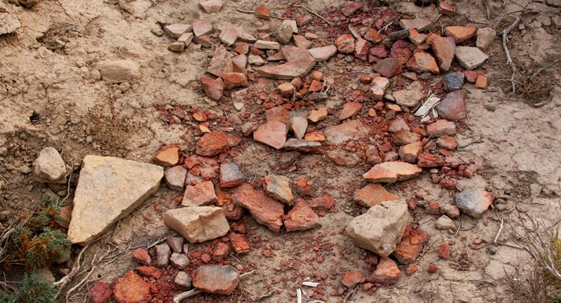
Photos of ancient monuments of the Kyzylorda region.
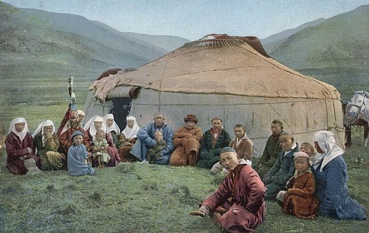
The information contained in al-Idrisi’s Kitab Nuzhaty, works by al Istakhri, Marwazi and al-Biruni helps to define the borders of the areas inhabited by Oghuz tribes in the Xth century. They lived in the steppes of Kazakhstan stretching from the Southern Balkhash to the lower reaches of the Volga river .
They densely populated the Aral region, the Northern Caspian region and the lower reaches of the Syr-Darya river. Separate groups of Oghuz lived in Zhetysu, where in the Xth century where the dominant local Turkic tribes were Karluks and Kimaks.
In the Xth century one of the group of the Oghuz tribes moved to the valley of the Chu river in the Talas Alatau. Idrisi calls Oghuz tribes living in the Shu valley ‘the khandag’. These Oghuz tribes were remarkable for their courage and independence.
In the Xth century, some Oghuz tribes also inhabited the middle reaches of the Syr Darya river and the foothills of the Syr Darya Karatau. The presence of the Oghuz tribes in the middle reaches of the Syr Darya is confirmed by other Arab sources of the Xth century.
Ibn Hawqal says that the Oghuz lived at the edges of the desert, where the Shash river crossed the border of the Sabran area. The Persian version of the Istakhri’s work contains some very interesting information about Oghuz’s settlement there.
The works says: ‘Where the (Chach) goes beyond Sabran, along this river in the (territory of) Daruye one can find Oghuz settlements’. The Oghuz nomads also stayed at the left bank of the Syr Darya and Istakhri says that the town of Syutkent was the frontier town of Transoxiana (Maverannahr) with the Turk-Oghuz population areas.
The Oghuz tribes lived between Farab and Kendzhida, which situated at the middle reaches of the Arys river. The town of Subaniket (Arsubaniket) became the main town of the region. In the Xth century a part of the Oghuz tribes lived within Shash and Isfidjab regions.
The other part of these tribes lived in the Keles steppe, in the valley of Angren and Chirchik, in the foothills of the Chatkal and Urgan ridges. In these places, the Oghuz tribes lived together with the Karluk and other Turkicspeaking groups.
These tribes were partly subjected to Islamisation and partly settled in urban and rural areas of Shash and Isfidjab regions. The Oghuz tribes lived both in the middle and the lower flow of the Syr Darya river. In the Xth century the majority of the Oghuz roamed across the steppes around the Aral and Caspian Seas.
Al-Masudi noted that there were a lot of camps of the nomadic Oghuz in the steppes of the Caspian (Khazar) Sea. Their camps could also be found to the west of the Aral Sea. Geographic atlases of the Xth century put Oghuz to the Northern and Eastern shores of the Caspian Sea.
There is a Siyah Kuh mountain situated to the North of the Caspian Sea. The book Khudud al-Alam mentions the settlement of the Oghuz Turks at the Siyah Kuh. Maps of al-Idrisi also point our camps of Oghuz at the Siyah Kuh.
Several researchers identify the Siyah Kuh with the Mangistau peninsula. According to Istakhri’s map and the works of Ibn Rustah, in the Xth century the Siyah Kuh referred both to the stony semi-deserts of the Mangistau and to the steep chinks of the Ustyurt Plateau.
In the Xth century the western borders of the area where Oghuz built their camps and fortresses, reached the Southern Ural and Volga regions. Additionally, Oghuz roamed along the Irgiz, the foothills of the Mugodzhar Hills, Emba, Ural, the banks of the Aralsor and Uil.
In the Xth century the line of Oghuz camps stretched from the Ural to the lower reaches of Volga. According to Khudud al-Alam, the Oghuz tribes reached Attil from the Northern part of the Caspian Sea: ‘the Eastern (part) of the region of (Oghuz links) to the Gus desert and towns of Transoxiana and the Southern part (links) to several (places) of this (Gus) desert.
The other (part of this region), borders with the Caspian Sea and the Attil river from the North and South.’ Settling of the Oghuz tribes in the lower reaches of the Volga river is also confirmed in the works of Istakhari and Ibn Hawqal.
The Oghuz tribes, who in the Xth century migrated along the Ural and the left bank of the Volga river, bordered with Bashkir and Burtas tribes. Lands of Oghuz bordered with Bashkir in the foothills of the Southern Ural. Ibn Fadlan noted that the Bashkir tribes lived near the Bagnadi river, which probably coincides with the modern Yavynda.
He writes about the Bashkir pillaging caravans which passed through the Oghuz lands and went on to Volga Bulgaria. In the 10th century the Western Oghuz tribes had common borders with Bashkir, Khazar and Burtas, who lived in the Volga region.
Authoroty:
2012 K.M. Baypakov, D.A. Voyakin, R.V. Ilyin Almaty, Kazakhstan. http://www.unesco-iicas.org
Photos by
Alexander Petrov.