


![]()
Вы здесь
North Aral Sea in Kazakhstan.


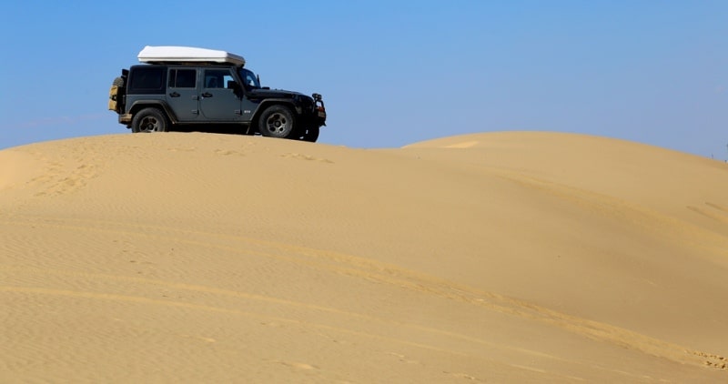
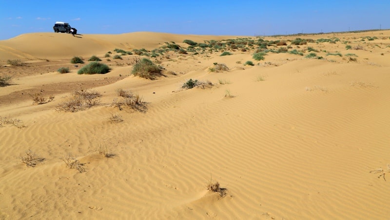
Observation excursion on Ustyrt plateu.
“Having come ashore we are in the smooth, flat upland called Ustyurt in Kyrgyz. It is the name that shows the upland from the word “ast” (lowland), which means the southern lower lands where the major population karakalpaks”
Eversman. 13 January 1825.
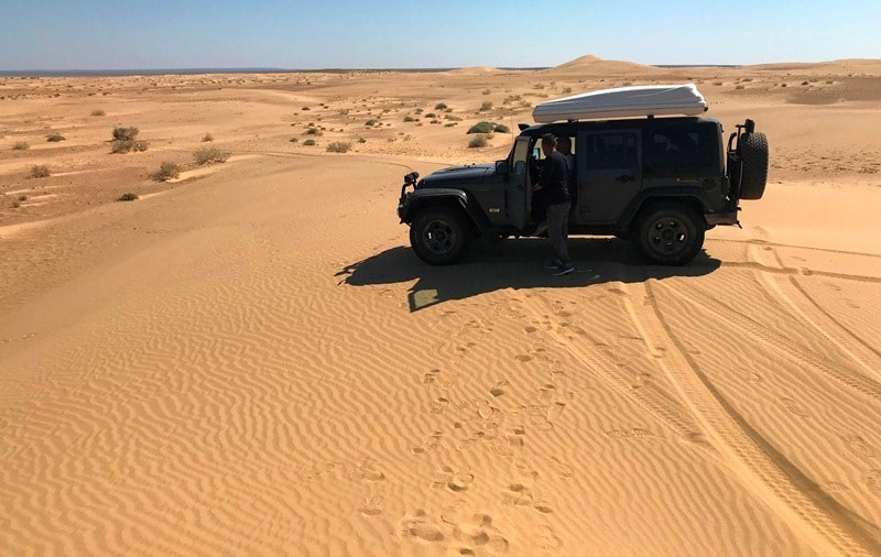
Highlight tour to Aral Sea Kazakhstan.
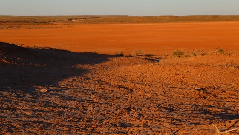
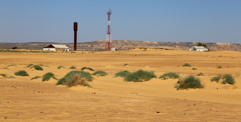
These are deserts of a northern zone of which the lack of moistening during all seasons is characteristic. Soils of this zone located in the neighbourhood with a zone of semi-deserts of which southern part brown soils are characteristic soil scientists not very long ago carried to type of brown and called them light and brown.
E. V. Lobov and other soil scientists call them gray and brown and in general came to idea that "the gray brown type of soil formation" is characteristic of continental deserts of the southern part of a moderate belt.
Are peculiar to the described type of deserts, according to E. V. Lobova (1960), gray brown carbonate soils. They develop in significantly other conditions, than typical gray lands of the southern zone (subtropical deserts).
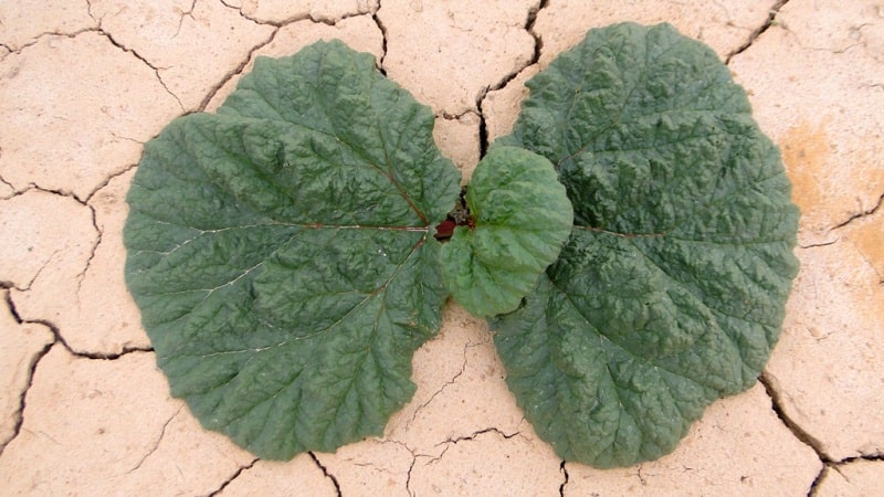
Here average annual temperatures and considerably difficult are lower than winter (the top horizons of the soil freeze through in the winter). The summer minimum of rainfall is expressed not so sharply. In a vegetable cover participation of ephemeral plants is less, activity to dig the earth is a little weakened.
Soils contain not enough humus (usually to 1,5% in the top horizon, and sometimes less than 1%) and are characterized by the low power of the humic horizons; the top part of a soil profile differs in small calcareousness, salinity of soils is quite often shown.
Mangistau Mountains and Ustyurt huge plateau are located between Caspian sea and Aral Sea. Mountains consist of three basic ridges: Northem Aktau (the longest ridge stretches for 90 kilometres), Western and Eastern Karatau.
Last ridge is the highest: Besshoky top ("Five hills" in translation from Kazakh) rises up to 556 meters. Mangistau Mountains are one of the youngest in Central Asia. They basically consist of Mesozoic sedimentary rocks - limestone, slate and sandstone.
Various karstic forms of relief are related to limestone, including numerous caves. Mountains have no rivers, the highest places are characterized by semideserts and others by deserted landscape. The deepest hollow of Kazakhstan - Karagie (132 meters below sea level) is located between these mountains and Caspian sea coast.
Mangistausky Mountains are separated from Ustyurt plateau by Karynzharyk hollow (70 meters below sea level). Its bottom is covered by huge saline. Ustyurt plateau is located between Kara Bogas Gol of Caspian Sea and delta of the Amu-Darya river and its largest part is in the territory of Kazakhstan and Uzbekistan.
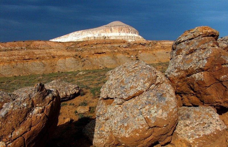
Practically from all directions the plateau is surrounded by high precipices (chinks). The name goes back to Kazakh "shin" (difficult to access top, peak). The height of chinks can be from several tens meters to 200 meters, and in some places up to 300 meters.
As a rule, the tops of the chinks are vertical and sometimes even overhang forming eaves. Layered sedimentary rocks among which limestone is rather typical are uncovered in chinks. Chinks is constantly exposed to influence of spring floods, wind and salt erosion.
As a result of these processes, surprising and unique landscapes which fascinate and astonish are formed there. Mangyshlak and Ustyurt are rich in oil and gas fields. Here porous limestone-coquina which is widely used for buildings covering in many cities of Kazakhstan is extracted.
In Eversman’s diaries as of 13 January 1825 there is the following: “Having come ashore we are in the smooth, flat upland called Ustyurt in Kyrgyz. It is the name that shows the upland from the word “ast” (lowland), which means the southern lower lands where the major population karakalpaks”.
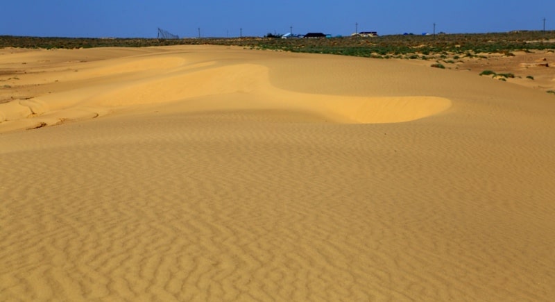
Thus, Ustyurt means upper settlement or uplands. Ustyurt Plateau is located between the Aral and Caspian Seas. Ustyurt is the stony desert, the tabletop surface, single plateau, its height is from 60 m to 341 m formed 5 - 10 million years ago.
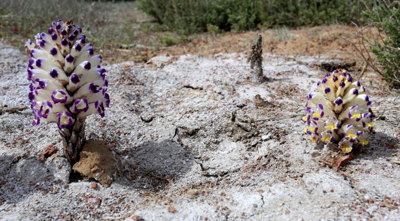
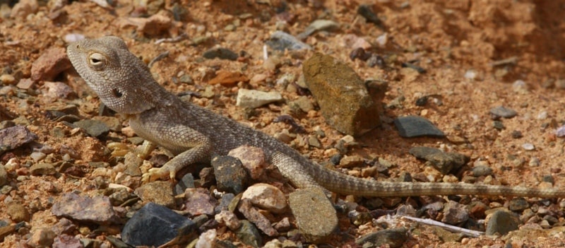
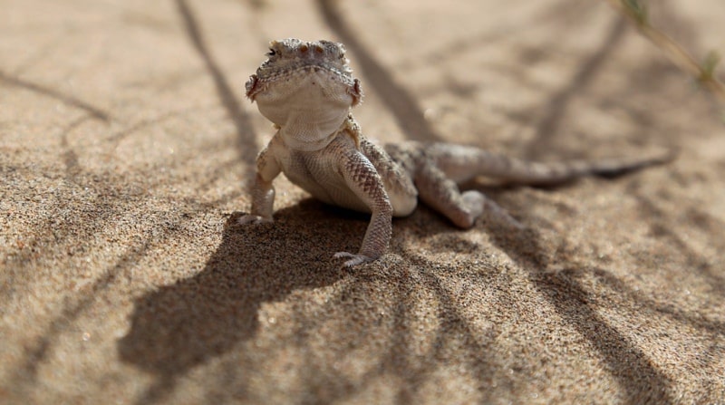
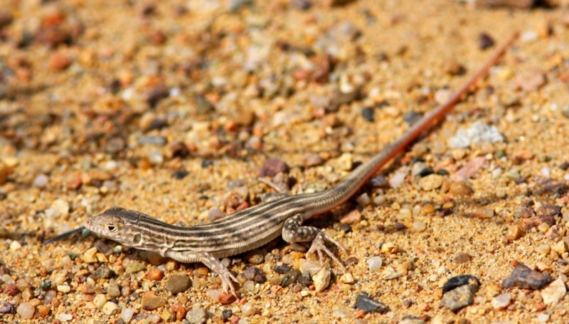
On the territory of Ustyrt there are the lands of West Kazakhstan, Karakalpakia and the northern part of Turkmenistan. The most interesting places in Ustyurt are chinks, the steep precipices, or rocks. The mankind activity is the important influence on the flora and fauna of the region.
Therefore there was the necessity to create special zones in order to protect unique landscapes. Ustyurt biosphere reserve is the largest and the youngest in Kazakhstan. It was created in 1984 in Ustyurt Plateau in the south-east in 150 km of Zhanaozen town.
The area of the reserve is around 223 thousand hectares. This territory includes some part of Ustyurt Plateau with chinks, Karamai Ridge and adjacent valley areas of Manghystau including Kenderli. The relief of the reserved territory is quite complicated and diverse – from chinks to canyon-like ravines and from steep precipices of Karamai to flat Kenderli.
The objective of the reserve is the protection and preservation of many species of animals and plants, which are in the Red Book and in the Red Book of Kazakhstan.
Authority:
N. A. Gvozdetsky, N. I. Mikhaylov. "Physical geography of the USSR. Asian part. The edition third corrected and added. Moscow "Thought" of 1978. http://tapemark.narod.ru/geograf/1_5_5.html
Photos by
Alexander Petrov.