


![]()
Вы здесь
Valley Charkuduk.

Foreign Independent Tour in Central Asia.
“Nature is an infinite sphere whose center is everywhere”
Ralph Waldo Emerson.
Custom trip in Kyrgyzstan.
The Charkuduk valley is located at an altitude of 2600 to 2671 meters above sea level, located on the northern slope of the Terskey Ala-Too ridge, in the eastern part of the Tyup district of the Issyk-Kul region. The territory of the valley occupies the left bank of the Karkara and Ushkashka Zapadnaya rivers.
In the southwest, the tract is bounded by the Charkuduk pass, 2875 meters above sea level. In the west, the boundary of the valley is a rock ridge stretching from south-west to north-east for 4 kilometers and the valley of the Tyup River.
The Charkuduk valley is bounded in the west by the spurs of the Terskey Ala-Too mountains, and in the east by the spurs of the Kopyl mountains. On the southern side, the tract is bounded by the grandiose rocky outcrops of the northern foothills of the Terskey Ala-Too.
The area of the valley is no more than 3 square kilometers; it is stretched from the southwest to the northeast. In the western part of the tract there are two salt lakes. The northernmost lake is located at an altitude of 2821, 100 meters long and 30 meters wide.
South Lake is located at an altitude of 2,784 meters above sea level, it stretches from north to south for 50 meters. To the southwest of the lakes lies the dominant mountain of the surrounding area, 2,932 meters above sea level.
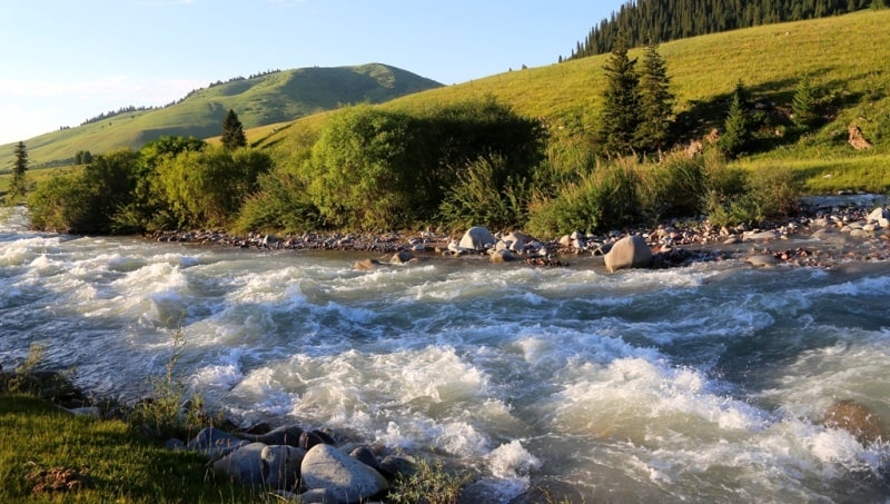
In the southern part of the valley flows the Charkuduk stream with a length of 3 kilometers, which is the left tributary of the Western Uchkashka River. The sources of the stream are located on the eastern slope of the Charkuduk pass.
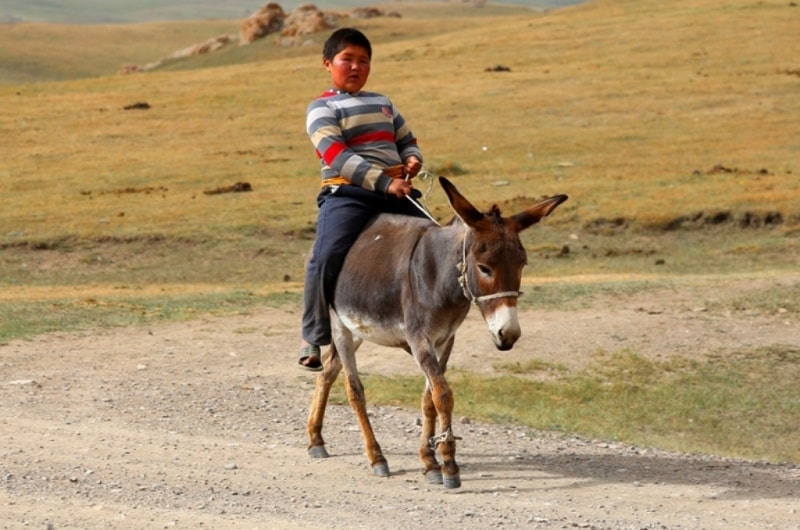
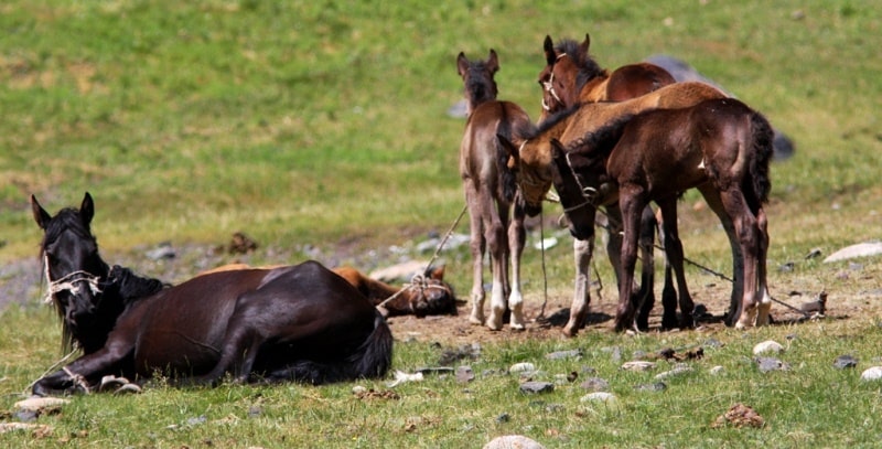
A path has been laid across the pass, along which local shepherds and shepherds drive their flocks, herds and herds to the valley of the Tyup River and vice versa. The seasonal base camp of climbers "Karkara" is located 4 kilometers north of the valley.
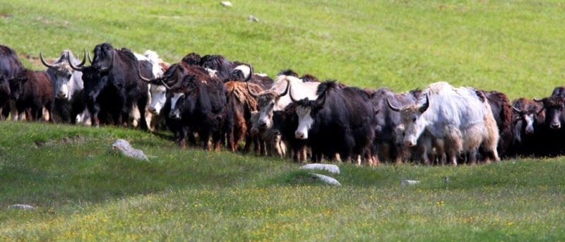
To the east of the Charkuduk valley, in the Tyup river valley, there is the Chaminsai tract, which was chosen by local shepherds; they use the lush meadow grasses for grazing. The eastern slopes of the tract are overgrown with the Tien Shan spruce.
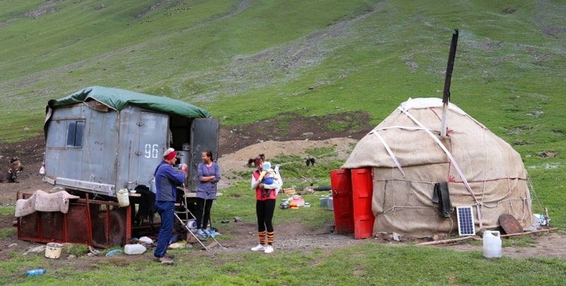
The Charkuduk valley is one of the most picturesque places in the Terskey Ala-Too mountains. The river, fresh air, an abundance of meadow grasses, a road that connects the tract with Lake Issyk-Kul attract local residents here who graze livestock all summer.
Geographic coordinates of the Charkuduk valley: N42 ° 38'34.36 "E79 ° 11'41.15"
Author and photos by
Alexander Petrov.