


![]()
Вы здесь
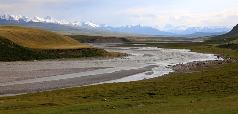
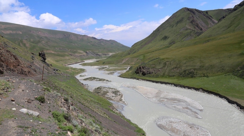
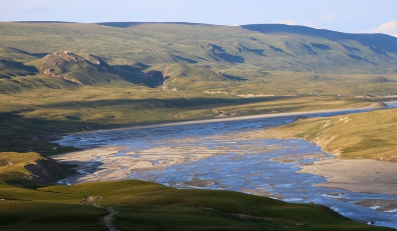
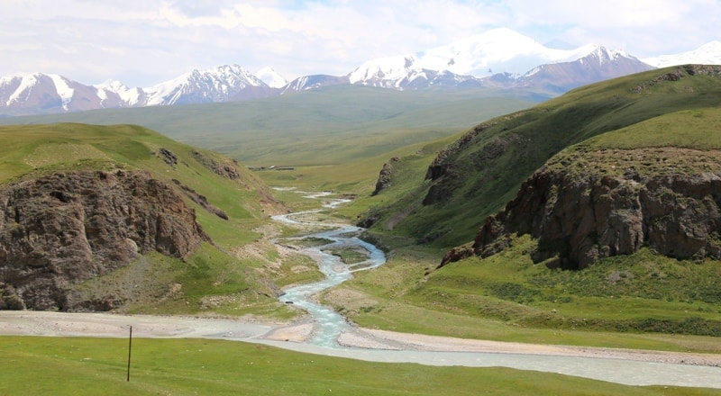
Sary-Djaz river.

Trips on jeeps along Sary-Djaz river.
«Nature never deceives us; it is we who deceive ourselves»
Jean-Jacques Roussea.
Trip from the city of Karakol on Sary-Djaz river.
The Sary-Djaz River originates from the Semenov dendritic glacier, which originates on the slopes of Semenov peak, 5816 meters above sea level at the junction of the Terskey-Ala-Too and Sary-Djaz ranges.
Avalanches play an important role in the nutrition of the glacier. To the left, 5 large tributaries flowing from the northern slope of the Adyrtor ridge into the Semenov glacier.
Their tongues on the surface of the main the trunk is bordered by stained ridges. On the right, from the southern slope of the Terskey-Ala-Too ridge, only two small tributaries flow into the glacier. The tongue of the Semenov glacier is gentle, its surface is covered with funnels resembling karst, with a diameter of up to 30 - 50 meters.
In some, meltwater accumulates, forming lakes. Melting in the tongue of a glacier at an altitude of 3700 meters above sea level averages 2.5 centimeters per day during the ablation period, and the maximum is up to 8 - 10 centimeters per day.
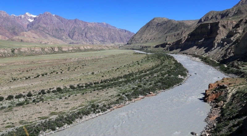
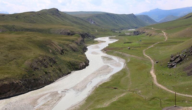
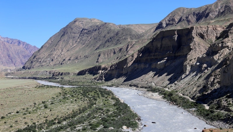
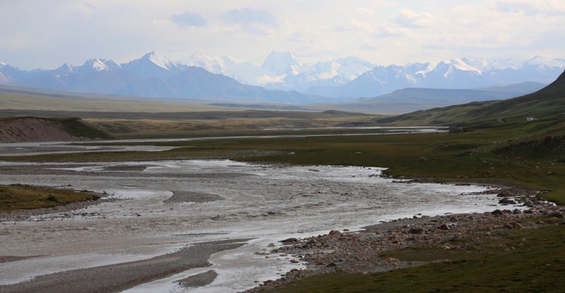
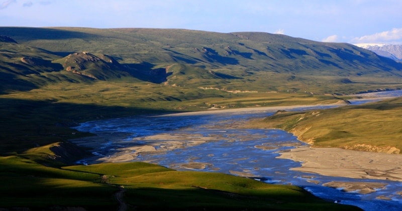
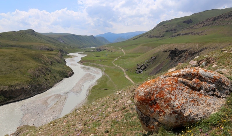
Say-Djaz ("The yellow spring" is translated from Kyrgyz of Sary-Djaz). Across the territory of Kyrgyzstan the extent of the river of Sary-Djaz of 198 km. The river flows down from glaciers of the massif Muztag.
Water in the river surprising green white color. At the height of 3000 meters there is a zone of the Alpine meadows. Here a fir-tree, birches grow. A little below than the Alpine meadows the steppe strip settled down.
Sary-Djaz river flows in a canyon to the valley with breaks. From this valley before you the magnificent view on sharp peaks and crests of ridges will open. To your look the mountains covered in all length with a snow strip from where look through glaciers will open.
In the lower current Sary-Djaz river receives the new name Aksu, the left inflow of the Tarim River (The Issyk-Kul region of Kyrgyzstan and Xinjiang Uyghur Autonomous Region of China). Length is 400 kilometers, the area of the pool is 28,5 000 kilometers square.
In upper courses character of a current mountain, at an exit from Tien-Shan to the Tarim plain. An average consumption of water in the lower current of 208 cubic meters in a sek. Summer high water. Irrigates the Aksu oasis in China.
Authority:
"The big Soviet encyclopedia".
Photos by
Alexandr Petrov.