


![]()
Вы здесь
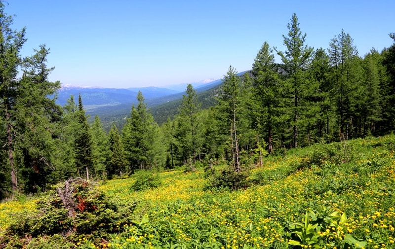
Koksuysky ridge in Western Altai.

Mountain hiking in Kazakh Altai mountains.
“Nature encourages no looseness, pardons no errors”
Ralph Waldo Emerson.
Adventure travel in Kazakhstan Altai mountains.
Koksu Range is located 52 kilometers east of the city of Ridder, on the territory of the administration of the city of Ridder in the northwestern part of the East Kazakhstan region. The Koksuysky ridge is a border ridge, along the main ridge of the ridge passes the state border between the Russian Federation and the Republic of Kazakhstan.
The length of the ridge, stretching from the northwest to the southeast, is 49 kilometers. Average heights are about 2000 - 2100 meters above sea level. The highest, nameless mountain in the northwestern part of the range has a height of 2239 meters above sea level (geographical coordinates of the mountain with a height of 2239 meters: N50°41'21 E84°01'39).
Only the western slopes of the Koksu Range are located on the territory of Kazakhstan. The western boundary of the range is the Black Uba River. The eastern slopes are located on the territory of the Altai Republic of the Russian Federation.
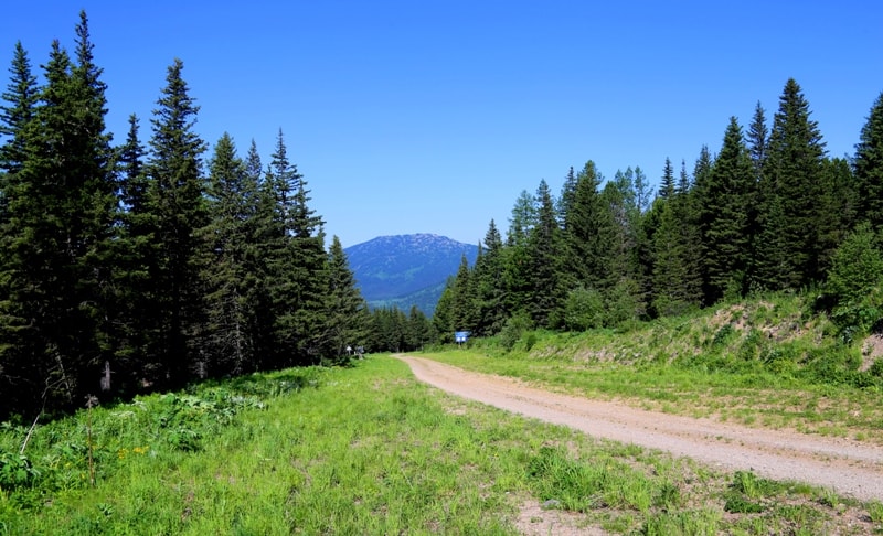
In the northwest, the ridge borders on the eastern spurs of the Korgon ridge, in the southeast, the ridge adjoins the western slopes of the latitudinal Ivanovsky ridge. In the southern part of the ridge, there is the Koksinsky Pass, 1762.9 meters above sea level, to which an automobile, grader road from the city of Ridder has been built.
In 2009, Russia planned to build a road from the villages of Ust-Koksa and Ust-Kan in the Altai Republic to the Koksinsky Pass. Such a road would open a convenient way from Kazakhstan to the Republic of Altai, Altai Territory and Mongolia.
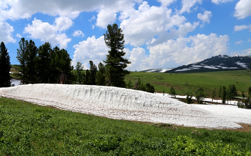
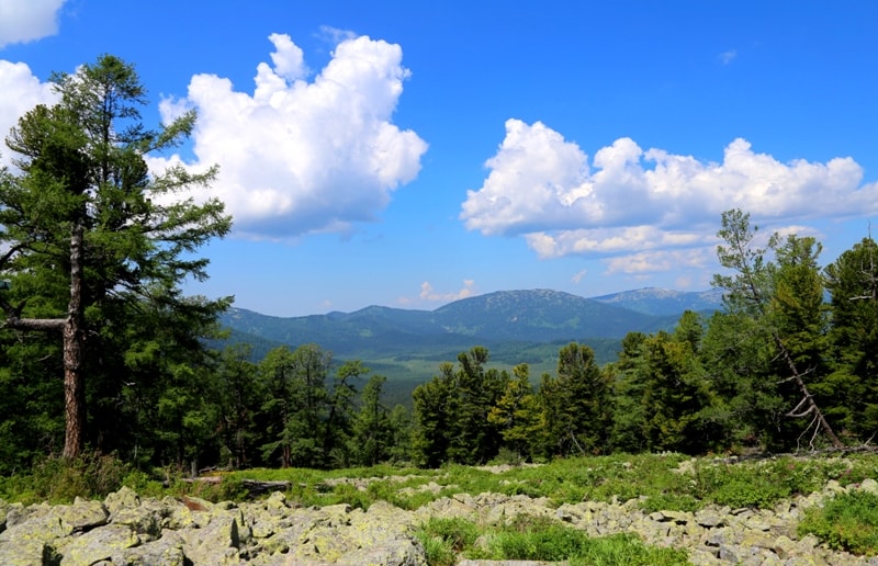
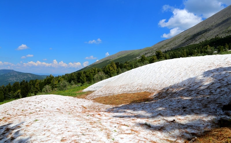
The Koksu Range is composed of crystalline, metamorphic schists, gneisses and tuffaceous rocks, sandstones, clay shales, intruded by granite intrusions. Up to a height of 1700 - 1800 meters above sea level, on the northern slopes, taiga of Siberian cedar, spruce and fir prevails, while tall grass meadows are common on the southern slopes.
The lower slopes of the Koksuysky ridge of the slope are covered with fir-spruce forests, from 2200 - 2500 meters above sea level - subalpine and alpine meadows. Above is a cedar-larch woodland, and the uppermost zone is occupied by rubble-lichen tundra.
Geographic coordinates of Koksu Range: N50°36'48 E84°05'10
Authortity:
Alexandr Petrov.
Short geographical encyclopedia. Volume 2/Gl.Red. Grigoriev A. A. M.: The Soviet encyclopedia - 1961, 592 pages with illustrations and maps.
Photos by
Alexandr Petrov.