


![]()
Вы здесь
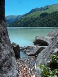
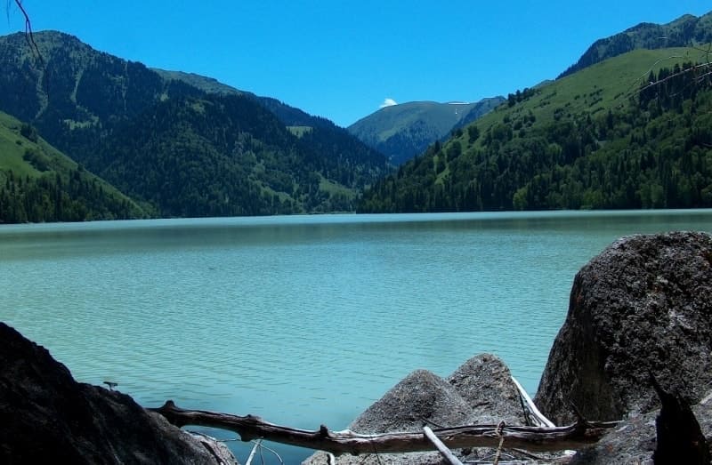
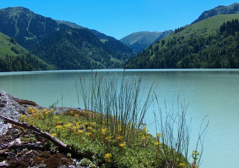
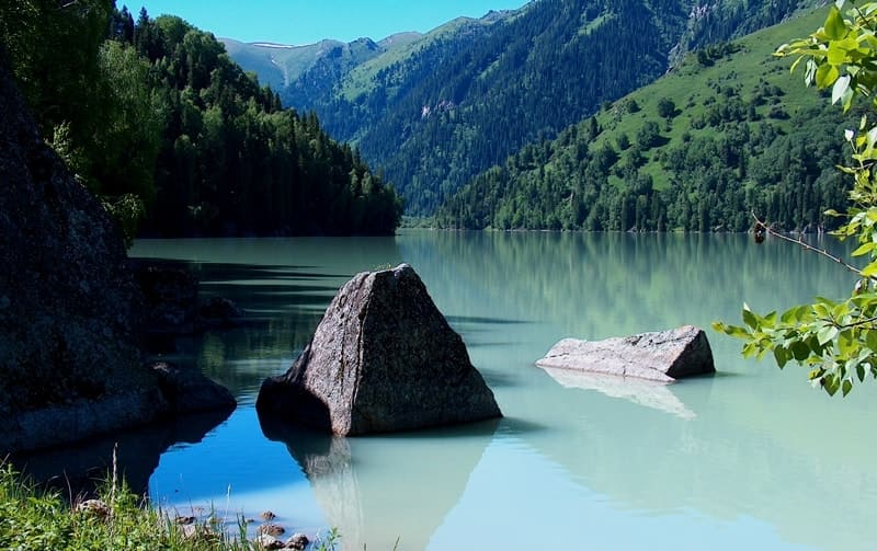
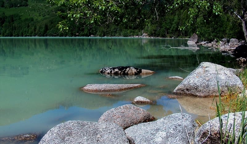
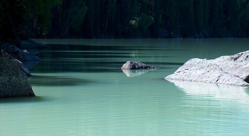
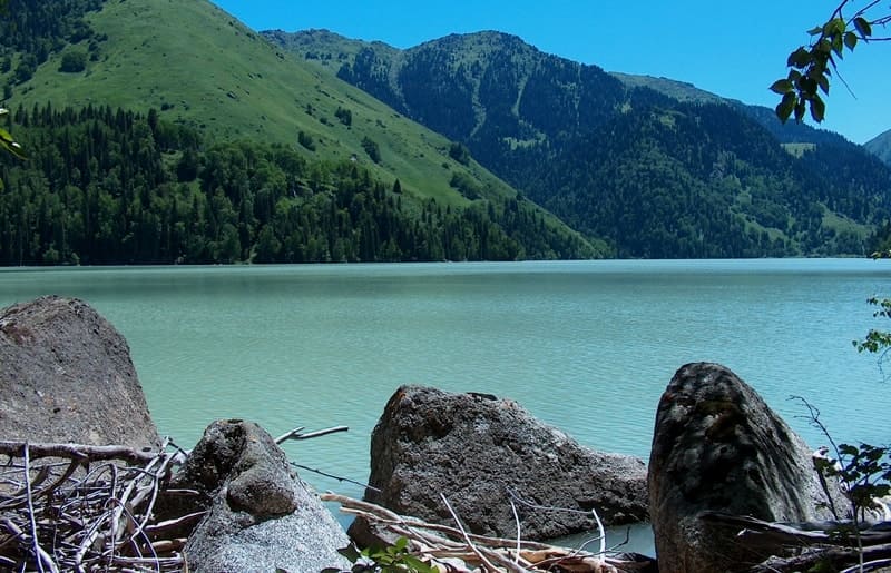
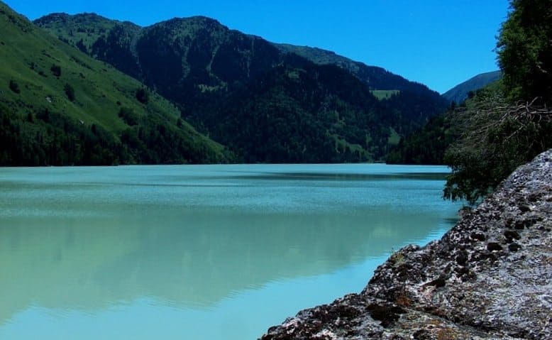
Zhasylkol lake in Dzhungarskiy Ala-Tau.
Fp to lake Zhasyl-Kol.
"Keeping closer to the Aganakatty gorge, we soon saw the familiar Lower Jasyl-kul lake squeezed between inaccessible steep slopes. This time, due to the intense melting of the glaciers, the lake was completely milky in color with a bluish tint. Two years ago I saw it in mid-August, and then it was much lighter."
V.V. Sapozhnikov. "Dzungarian Alatau and one excursion to Zailiysky Alatau." 1904.
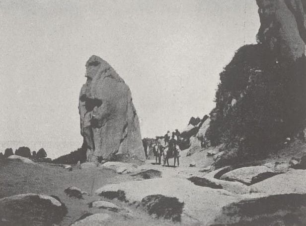
Walk on horses from Lepsinsk to lake Zhasyl-Kol.
Flowing, fresh lake Zhasyl-Kol is located at an altitude of 1630.5 meters above sea level, located on northern slope of Dzungarian Alatau ridge in valley of Aganaktyv River, 16 kilometers (in a straight line) from village of Lepsi (former Lepsinsk), 11.5 kilometers from Zhalanash cordon, on territory Zhongar-Alatau Natural Park in Alakol district of Zhetysu region.
9 kilometers, to the south, from the lake, the Aganakty River receives the eastern tributary of the Ekisha River, which in turn is formed from the confluence of two small rivers - the western tributary of the Balakory River and the eastern tributary of the Kora River.
Kora River originates from the melt waters of the Satpayev glacier, which ends in the south with the Kara-Choky pass along which the state border between Kazakhstan and the Republic of China runs in the latitudinal direction.
The Berg Glacier forms a tributary of the Balakora, which merges with the Kory River and forms the Ekiasha River. The western tributary of the Aganakty River is called Aganakty-1, which in turn flows from Lake Verkhny Zhasyl-Kol located at an altitude of 2262 meters above sea level.
The greatest length of Lake Zhasyl-Kol from the northern to the southern shore is 1.9 kilometers, the greatest width of the lake in the southern part of the lake is 525 meters. In the northern part, the greatest width of the lake reaches 632 meters.
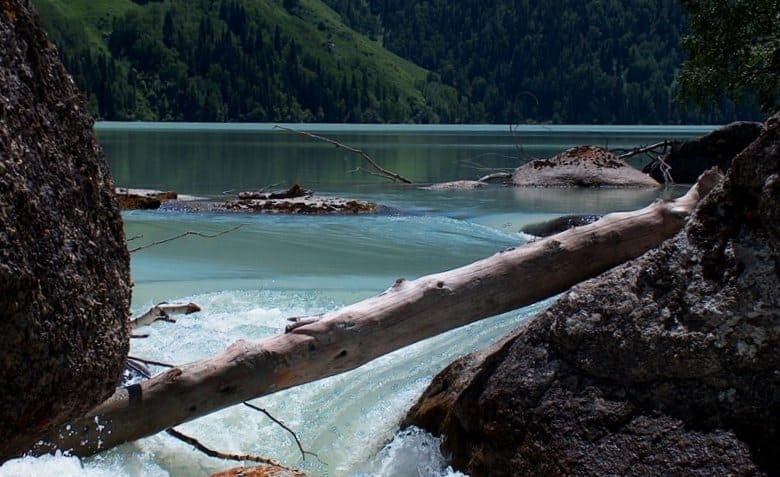
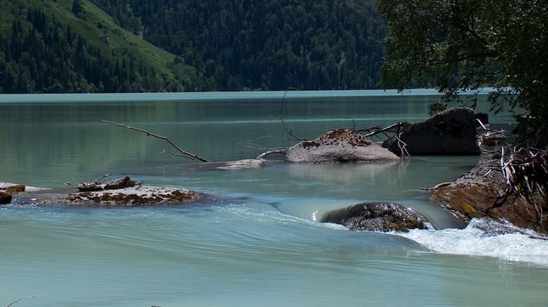
The area of the lake is 0.95 square kilometers, the length of the coastline reaches 5.2 kilometers. The delta of the Aganakta River in the southern part of the lake is 312 meters. Flowing through the lake, in the southwestern part the river overcomes huge rocks in the riverbed and forms a waterfall discharge outside the lake.
From the Zhasylkol cordon, to which the road reaches the lake along a path winding along the valley of the Aganakty River, it is 4 kilometers, from the lake to the Zhalanash cordon is 10 kilometers. Until the 80s of the last century, practically no human set foot here, after all, from the lake to the state border is only 28 kilometers.
The Dzungarian ridge stretches along the Kazakh-Chinese border for 400 km and represents a kind of barrier separating the mountains of Central Asia and the Western Siberian ranges. The Dzungarian Alatau received its name from the once warlike people who lived here - the Dzungars, who disappeared under the onslaught of the Chinese Empire in the XVIIIth century.
It translates as “variegated mountains lying on the left side of the hand.” These mountains are unique, the northern slopes resemble Altai, and the southern ones resemble the Trans-Ili Alatau. Only in these parts can you find virgin nature, animals that are not afraid of people, and passes that few have ever crossed.
The most famous place in the ridge is the so-called Dzungarian Gate - a mountain pass between the Mailitau ridges in the east and the eastern slopes of the Dzungarskiy Alatau ridge, through which the Great Silk Road ran. Russian researchers called Dzungaria “the gateway to Asia.”
Geographic coordinates of Lake Zhasyl-Kol: N45 ° 23'06 "E80 ° 34'43
Authority:
Alexander Petrov, Elena Gurina.
Photos by:
Alexander Petrov.