


![]()
Вы здесь
Shalkudysu Valley.

Jeep tours Almaty region.
“Open your sternum to the all-good world,
I haven't taken payment from you yet.
My thirst has eaten away the sands
My cloud sweat is a source of moisture.
Like heaven I breathe early
And once I was a bud of saffron,
You turn into a wide world in your heart,
And enter my chest without making a wound "
Mukagali Makatayev. February 13, 1972.
Individual tours mountains in Kazakhstan.
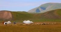
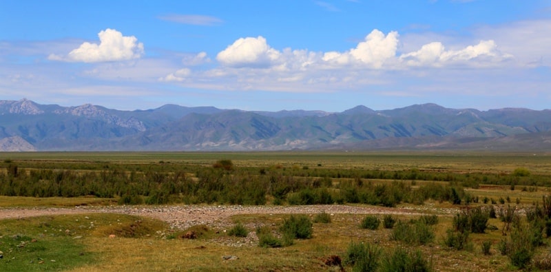
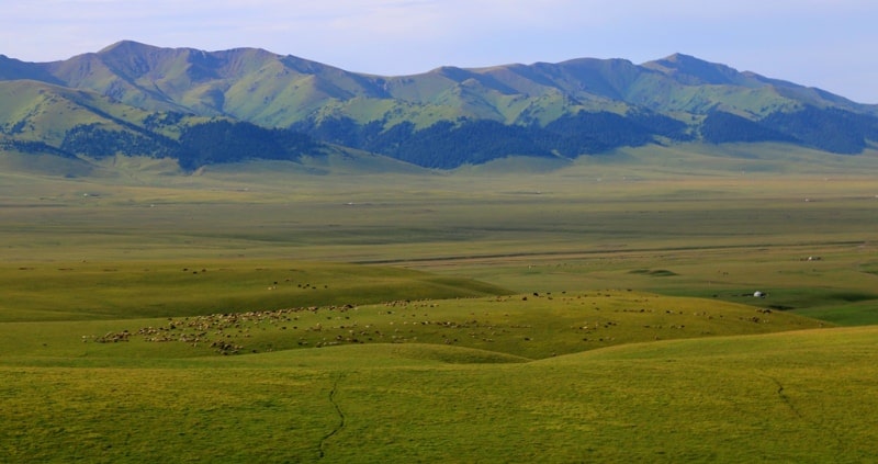
The valley of the Shalkudysu River, translated from Kazakh as "a beautiful place", is located at an altitude of 1908 meters to 2650 meters above sea level, located between the Ketmen ridge in the north and the Karatau mountains in the south.
The length of the valley is 55 kilometers, its direction is from northeast to southwest, the western end of the valley is located south of the village of Karasaz, the valley begins in the eastern spurs of the Ketmen ridge at the confluence of the Shalkudysu River with the Aygatas River.
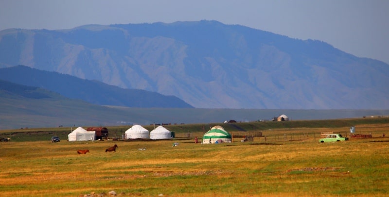
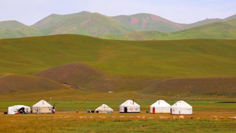
The greatest width of the valley in the vicinity of the villages of Karsaz is up to 15 kilometers. At the beginning of summer, shepherds and shepherds of the Kegen district drive their livestock in the vicinity of the Shaldkudysu valley, the largest number of yurts, temporary houses, tents starts from the Akbulak area and the left tributary of the Shakrambal River and spreads higher to the northeast.
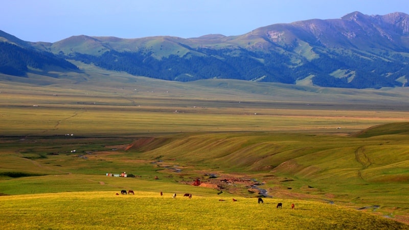
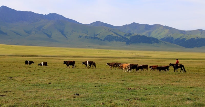
The most favorite and fertile place for grazing cattle in the valley is located in the vicinity of the right tributaries of the Shalkudysu - Ketmen and Kenbulak and the right tributaries - Karaarsha, Kokshakyr, Donbulak, Karagaybulak, Belbulak, Batbakbulak and Esekartkan. In these places, there are up to 50 migrations of local residents. The upper reaches of the Shalkudysu valley, one of the traditional places of pasture cattle breeding in Almaty region
In the summer months, there is a fertile climate, which alternates with an abundance of water and moisture, which contributes to the rapid renewal of the grass cover. There is no shortage of natural, pasture animal feed here.
The climate in this area is sharply continental and mountainous. Winters are harsh and long. The average temperature in January is -14. - 16 ° C. The weather in winter is unstable and windy, cold and little cloudy days can be replaced by thaws, which are accompanied by heavy rainfall.
The spring is early, usually cloudy, but quite warm. Already at the end of April, daytime temperatures can exceed +20 ° С. Typically, this temperature is set from mid-May. Along its entire length, from the upper reaches to the confluence of the Shalkudysu with the Kegen River, the valley is dotted with a huge number of burial grounds and mounds, which most likely belong to the Saka period.
Many graves have been excavated.
Geographic coordinates of the central part of the Shalkudysu valley: N43 ° 10'05.33 "E80 ° 07'21.53"
Authority:
Alexander Petrov. https://kolesa.kz/read/articles/2014/09/puteshestvie-v-ushchele-komirshi/
Photos by
Alexander Petrov.