


![]()
Вы здесь
Tyub-Karagan Bay.
Luxury Kazakhstan Travel.
“And under the ancestors of your great sovereigns, ambassadors and merchants traveled by water to the Kabakly refuge, and that road from the Kalmyks became closed, and now they go to the Mangishlak sea haven, and merchants from both sides come to trade, and that road is now clear, and no offense from anyone; and on this side of the sea, on the shore of Mangishlak, on a haven, so that your sovereign will deign to build a city, and how that city will be installed in that place, and our merchants will wait with the goods of your merchant people Karagan, and they will come and trade, and both the parties will be good"
Diploma of Khiva Khan Anushi. April 1675.
Cheap travel to Kazakhstan.
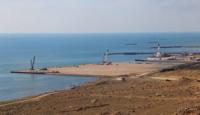
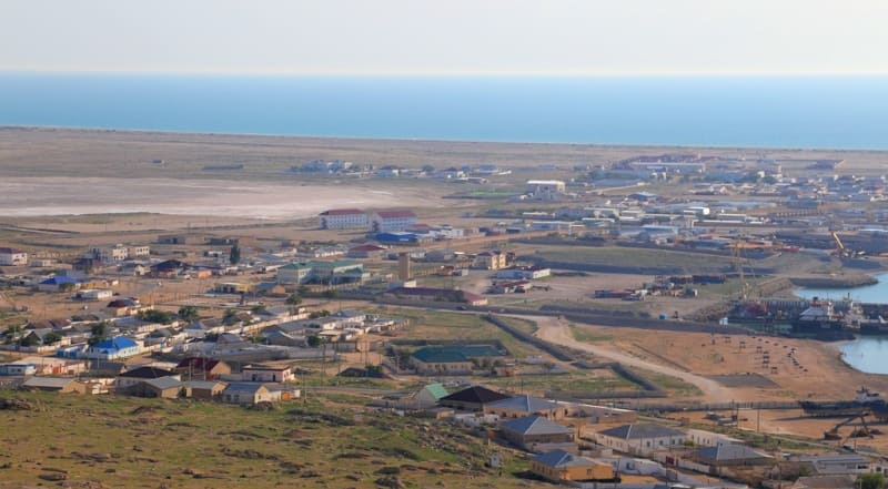
Tyub-Karagan Bay is located in the Tyupkaragansky district of the Mangystau region in the westernmost tip of the Tyub-Karagan peninsula; from the north, the bay is bounded by Tyub-Karagan cape; from the southwestern part, the bay is bounded by the Tyub-Karaganskaya spit, which is elongated from northwest to southeast.
The length of the bay from Bautino Bay to Cape Tupkaragan is 12 kilometers, the width in the northern part reaches 9 kilometers, in the central - 4.7 kilometers, in the south - up to 1.5 kilometers. The southern and western shores of the bay are low-lying, the eastern one is mountainous.
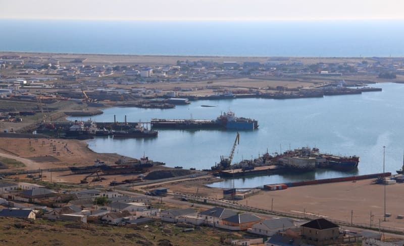
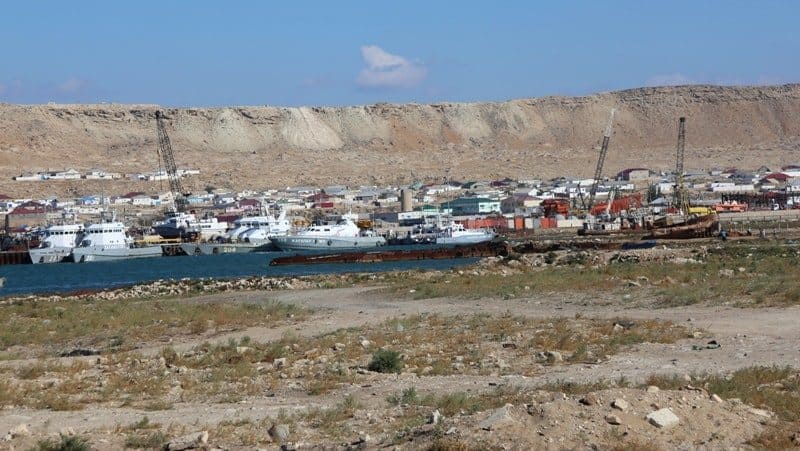
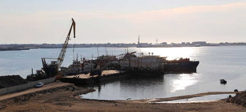
The bay is a well-hidden anchorage for ships of various drafts. At the top of the bay, separated by the Tyub-Karaganskaya Spit, there is Bautinskaya Bay, in which the port of the same name and the village of Atash are located.
At the very beginning of the bay is the port of Bautino and the village of Atash. For a long time, Tupkaragan Bay has been considered a convenient harbor for shipping. In the middle of the XIXth century, the Russian traveler M. Mikhailov wrote the following: “The harbor of the Alexandrovsky Fort is a good and sheltered from the winds camp.
The surface of the bay occupied by the harbor is 27,000 sq. fathoms, the deepest in it is 9 fathoms, the smallest - three." In the essay "Life of the Kazakh Steppes," the Polish exiled revolutionary Bronislav Zalessky called this bay "Novopetrovsky", perhaps because he happened to serve his exile in the Novopetrovsky fortification located on the coast of the bay.
And here is how he described it: “...The Mangyshlak Peninsula, located on the north-eastern coast of the Caspian Sea, has many bays. The most convenient of them in terms of location is formed by Cape Tupkaragan, which protrudes far into the sea.
The Novopetrovskoe fortification, built several years ago in this gulf, gave its name to the entire raid. In the future, this place should link trade routes between Europe and Central Asia. The banks surrounding the roadstead are never flooded.
Three kilometers from the sea, there is a chain of gray desert hills made of limestone. A small steppe fortress was built on them. Between the roadstead and the fortification there is a completely flat sandy space, on which two small lakes, both completely salty, glitter under the sun.
There is an old Kazakh cemetery between the fortification and the lakes. Near the roadstead, on a small sandy ledge covered with shells, there is a row of small houses - a settlement of Russian colonists. The settlers receive flour and all food supplies from the fortress.
They have no place even for small vegetable gardens, they are mainly engaged in fishing ... Trade relations with Central Asia are gradually developing, the importance of which is increasing. This route is used by very small boats of Astrakhan merchants.
The ice that covers this part of the Caspian Sea in winter, interrupts all connections with Astrakhan and the opposite shores, which complicates trade. On the shores of Novopetrovsky Bay, many seals are caught, the fat of which is the subject of trade...
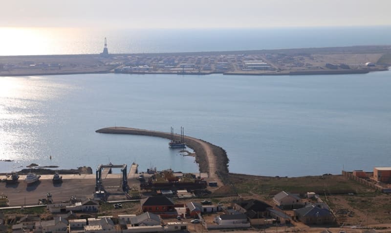
"The largest bay in the region, in the west ends with the Tupkaragan Spit, which protrudes 2.5 miles from the mountainous part of the Mangyshlak Peninsula..."
Geographic coordinates of Tyub-Karagan Bay: N44 ° 35'30.93 "E50 ° 15'34.89"
Authority:
Natalya Yurievna Zaderetskaya. Member of the Union of Journalists of the Republic of Kazakhstan, journalist of the Aktau newspaper "Lada".
Photos by
Alexander Petrov.