


![]()
You are here
Korday Pass in Zhambyl region.

A trip from Almaty to train station Shu.
"Further on, beyond the Chu River, begins the climb to the Kurdai Pass. What a difference - down there we've already left spring behind: snowdrops bloom, birds chirp, but here -a snowy plain stretches all around, and a chilling wind rages. The horses could barely drag the tarantass up the high mountain."
Boris Smirnov. "In Steppes of Turkestan." 1914.
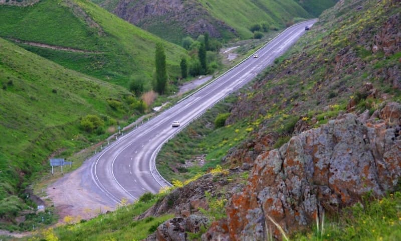
A trip from Almaty to the Pass Korday.
Kordai Pass is located at an altitude of 1,233 m. a. s. l., in Degeres-Kordai Mountains, in Kordai District in southeast of Zhambyl Region.
Kordai Pass is located at the junction of the Degeres-Kordai and Kulakshyn Mountains, which are the northwestern spurs of the Zailiskiy Alatau Range. The Almaty - Bishkek highway, which connects the villages of the Chui and Ili natural landmarks, runs through the pass.
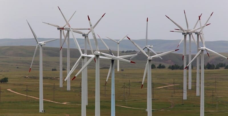
Kordai wind frequently blows in the area around the pass during the autumn and winter months. The Kordai wind's strength is due to the compression of airflow in the valley between the Kindiktas Mountains and the Zhetyzhol Ridge. Maximum speeds reach 28 meters per second in summer and 34 meters per second in spring and autumn.
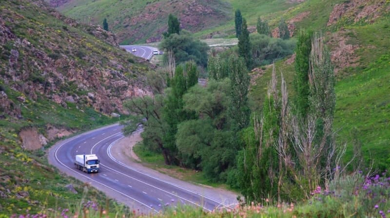
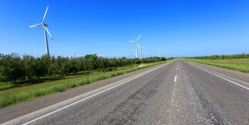
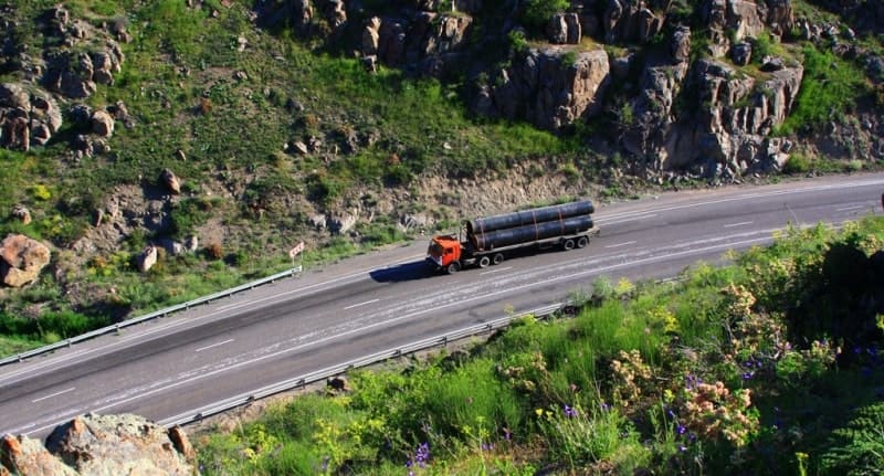
Kordai Pass is a key transport corridor connecting Almaty and Bishkek, and further on, a continuation of the transport route to Uzbekistan and Central Asia. The pass is also home to the national highway A-2 (Almaty - Bishkek - Tashkent - Termez), which historically connected the cities and transport hubs of Kazakhstan and Kyrgyzstan.
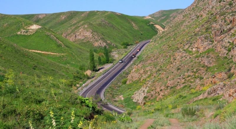
Until recently, the main route through the Kordai Pass was direct. However, in recent years, a bypass section has been built northwest of the pass itself to improve safety and traffic capacity. This new section extends from the village of Kenen to the outskirts of the village of Kainar, covering a total length of approximately 75 kilometers.
It has been fully open since November 2018.
Result:
- a more convenient route with improved slopes and width;
- reduced risks in winter and inclement weather;
- improved transport accessibility between southern Kazakhstan and northern Kyrgyzstan.
The new section of the bypass road passes through the Ili Mountains, 11 kilometers northwest of the Kordai Pass. This effectively represents a reconstruction and improvement of the road approach to the pass as part of the development of the Almaty - Taraz - Shymkent - Tashkent - Termez international corridor.
Thus, the road has existed as a transport artery for a long time, but in its current form, with an improved route and new alignment, it has been operating since 2018. The section through the pass is periodically closed due to weather conditions, such as heavy snow and snowstorms, typical of this mountainous region in winter.
For example, in February 2022, traffic was temporarily closed on the Almaty - Tashkent - Termez section due to a snowstorm; traffic continued along the old Kordai Pass until the weather improved.
Kordai Pass and road through it:
- were one of the most important transport corridors between Kazakhstan and Kyrgyzstan and further connects with the Republic of Uzbekistan;
- provide transit between major cities (Almaty-Bishkek) and further south;
- serve as part of the international highway linking the countries of Central Asia.
Today, the route plays an important role in economic and transport cooperation between the countries of the region.
A new, modern bypass section bypasses the steep part of the pass along the northern arc of the ridge:
- the section between the villages of Kenen and Kainar - 75 kilometers, fully opened in November 2018.
This new highway features gentle slopes and improved cross-country ability, ensuring safer driving for passenger vehicles.
What can be seen on new route from village of Kenen to village of Kainar:
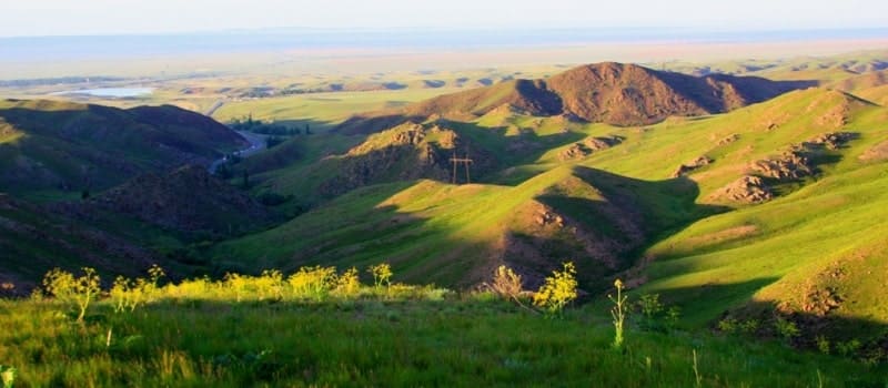
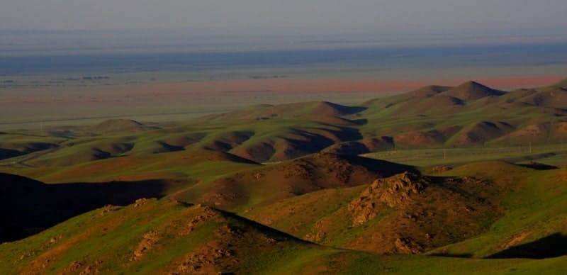
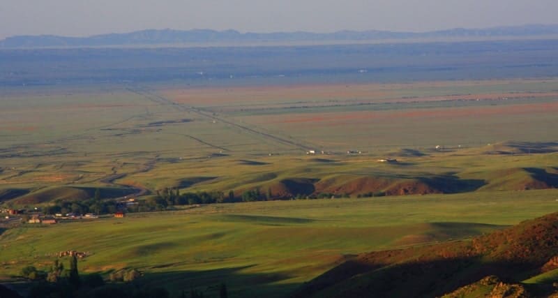
- the mountainous terrain of the Chu-Ili Mountains with expansive views of valleys to the north and south, with mountain meadows, clay slopes, and steppe areas on either side of the road.
- the village of Kenen is home to a very interesting museum dedicated to the Kazakh folk akyn and zhyrau, singer and composer, and folk akyn of the Kazakh SSR, Kenen Azerbayev.
- Immediately after the junction, 360 meters before the village of Kenen, is a monument to fellow countrymen who were heroes, 4 steles,
- 2 kilometers from the junction towards Kainar, on the right side of the road, is a gas station,
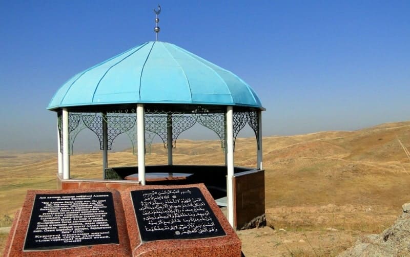
- 8.5 kilometers from the junction (towards the village of Kainar), on the right, 330 meters from the road, is the shrine of Saint Mulkubay Ata,
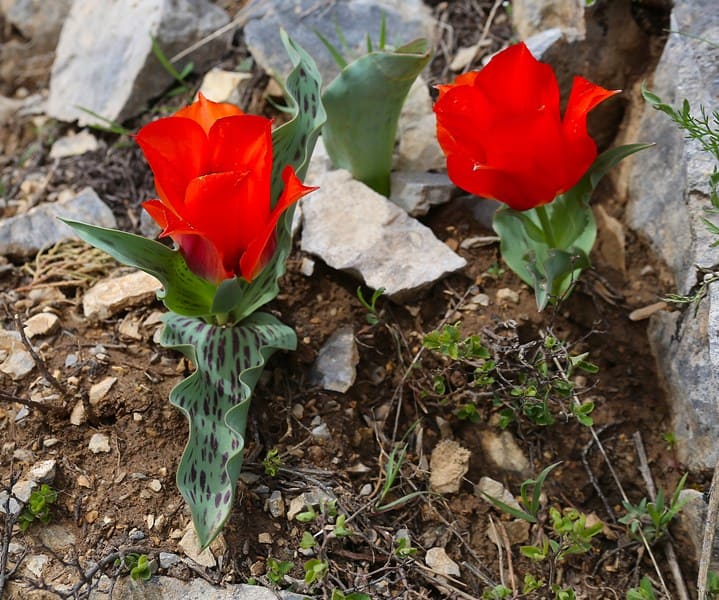
- 12 kilometers from the junction, on the right side of the road, in April, Greigi and Ostrovsky tulips bloom in a small meadow. It can be seen that this is the easternmost distribution of the Greig tulip in the Ili and Kulakshyn Mountains.
- the Zhualy Karashat State Nature Reserve of Local Importance is located near the Kutanasu natural landmark.
- on the descent from the pass saddle, to the right of the road, behind the snow guards, Ostrovsky tulips bloom in vast areas in April.
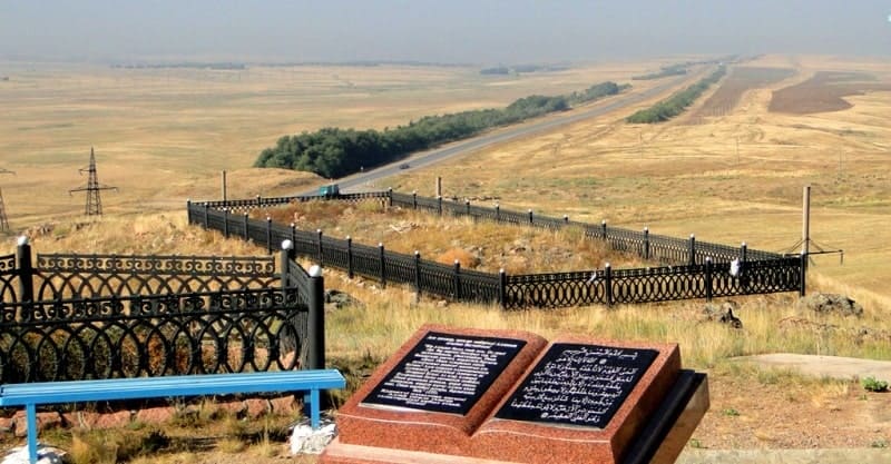
- a memorial stele to Kaskulak is located near the old road, 14 kilometers from the Kordai Pass.
- a monument to Kordai Ata is located 267 meters from the Kordai Pass, on the right side of the road on a hill.
Historical information about road over Kordai Pass.
The earliest mentions of a road over the pass date back to the mid-XIXth century. Around the same time, a road existed that connected nomadic tribes in the territory of present-day Kyrgyzstan and Kazakhstan via the Kastek Pass. This road, designed for carts and tarantasses, connected the Verny fortification with the Tokmak fortification located at the beginning of the Boom Gorge.
The road connecting Almaty and Bishkek via the Kordai Pass was built during the Soviet era and served as an important interregional route between the Kazakh SSR and the Kirghiz SSR. The exact date of construction is not specified in the available data, but it was already functioning as part of the Soviet road network in the 1930s, according to travelers' surveys and archival road maps.
Geographic coordinates of Kordai Pass are: N43°21'00 E74°59'01
Authority and photos by:
Alexander Petrov.