


![]()
You are here
Vakhan of Range.
Package tour to Tajikistan.
“The Vakhan ridge runs in the southern part of the Pamir Highlands, in the direction of the East Sea between the Vakhan-Daria River and the Pamir River. The length of the V. ridge is about 150 vers, individual peaks reach 18,000 feet and even higher. The southern slope of the ridge feeds insignificant rivers flowing into Vakhan-Daria, and the northern one, abundant in deep and long ravines, glaciers and masses of snow, supplies the Pamir River, Lake Sary-Kul (Victoria) and the Istyk River, which belongs to the Aksu-Murgaba system, with significant amount of water. Of the passes through V. the ridge is more famous: Varram-Kutal, Bendersky and Urtabel passes, 15040 ft. heights lying in its eastern extremity and leading from the Istyk basin to Lake Chakmaktyn-Kul”
V. M. Encyclopedic Dictionary of Brockhaus and Efron.
Day trip in Pamir mountains.
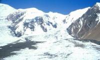
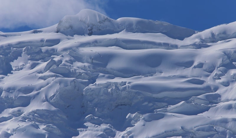
Wakhan Range is a mountain range in the southeast of the Pamirs, on the territory of the Shugnan, Roshtkala, Ishkashim and Murghab regions in southern Tajikistan. Wakhan Range is located on the territory of Tajikistan and Afghanistan.
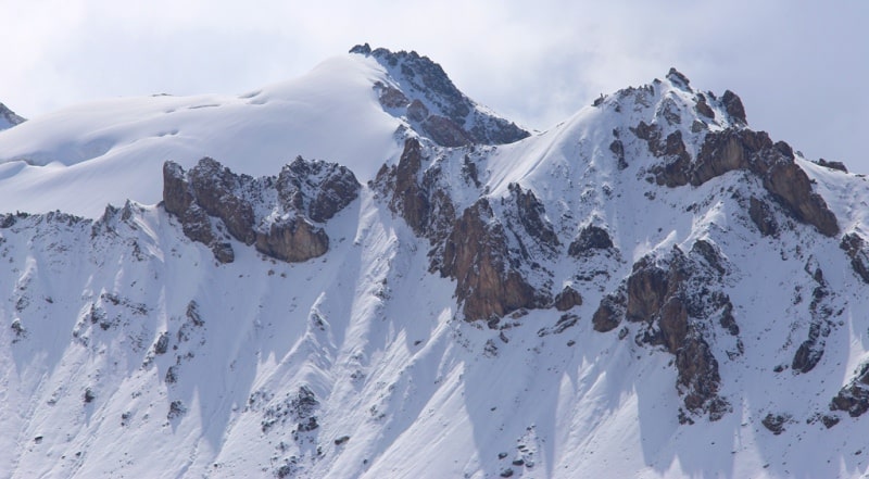
Tajikistan includes the lower eastern part of the ridge from Lake Zorkul to the valley of the Oksu River. The maximum height of the crest of the ridge in this section is 5790 meters above sea level, the average is 5390 meters above sea level.
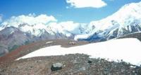
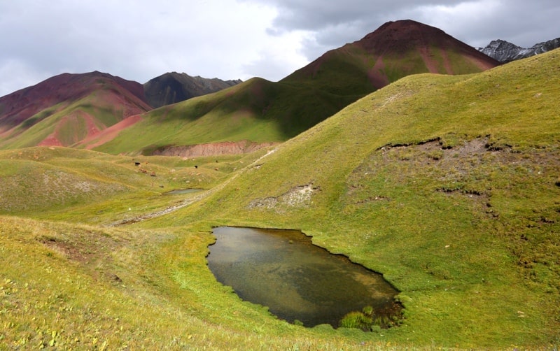
The maximum height is 6281 meters above sea level. The ridge rises above the vast flat valleys of the Eastern Pamirs, located at altitudes of more than 4125 meters above sea level (the edge of Lake Zorkul), therefore, despite the high absolute heights, it seems to be a mid-mountain massif with wide valleys and gentle slopes.
Only the axial part of the watershed acquires alpine relief features with snowy peaks and kars. The height of the firn line is 5050 meters above sea level, lower than those located to the north ridges, which is associated with the penetration of the Indian monsoons into this area through the passes of the Hindu Kush.
The Wakhan Range serves as a watershed for the Pamir and Istyk rivers in the north, and the Vakhandarya and Oksu in the south. The length of the ridge is 160 kilometers. The ridge is composed of igneous and metamorphic rocks.
The slopes are dissected by trough valleys, eternal snows and glaciers of Wakhan Range (the total area of snow, ice and firn fields is about 94.1 square kilometers). It was originally called the ridge of Emperor Nicholas II.
Geographic coordinates of Wakhan Range: N37°09'07.20" E71°40'10.48"
Authority:
"Glaciers." L.D. Dolgushin, G.B. Osipova. Series "Nature of the world." Moscow, the publishing house "Thought". 1989.
Photos by
Alexander Petrov.