


![]()
You are here
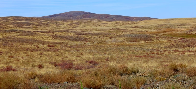
Shuyldak valley.

Travel to mountains Mugodzhary.
«On foot to go - long to live»
Russian national proverb.
Information about tourism in Kazakhstan.
The Shuyldak valley is located in the headwaters of the Shuyldak River in the east of the Mugodzhary mountains 16 kilometers east and slightly north of the Mugalzhar railway station 10 kilometers north-east of the Alabas village in the Mugalzhar district of the Aktobe region.
Among the many ancient volcanoes of Kazakhstan, which mostly remained in the form of separate fragments, special place occupies Shuyldak River area in the South Mugodzhar. Volcanic structures that could be observed and studied here are unique.
They were born in the Early - Middle Devonian (more than 350 million years ago) at the bottom of the Ural paleoocean under masses of water for at least 3000 m. The source of the eruptions served the deep split of lithosphere with the bottom of the ocean moved apart on both sides.
Modern analogues of these structures are investigated in the rift gorges of the Atlantic, Pacific and Indian oceans. The information that is received there with great difficulty and risk is very important for understanding of the processes occurring in the depths of the planet.
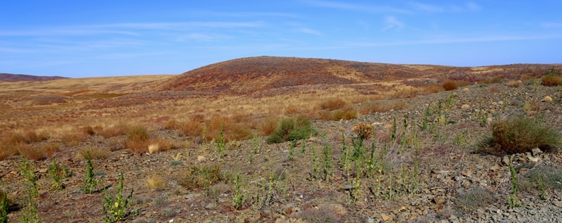
In Shuyldak area the same information is much more easily accessible. In this large area (approximately 1000 km 2 ), one can observe a complete set of structural elements of ancient volcanoes in all their diversity: parallel dikes, basalt covers, hyaloclastites, as well as the volcanoes of the central type.
It is particularly valuable that all of these ancient structures, unlike many others, kept their primary orientation: dikes are vertical, covers lie horizontally or slightly inclined. In the river steeps a complex of parallel dikes is perfectly presented – it represents numerous vertical bodies of solidified magma that rose from the depths of the mantle and filled the cracks of the lithosphere.
They are composed of fully crystal basalt - the so-called dolerite. Dikes (from the English “dike” - a stone wall) - are vertical plates (thickness of 0,1-3 m) of harden mantle basaltic melt, which intruded into the open axial crack of marine basin.
They almost always lie close to each other or are separated by small plots of previously erupted basalt flows. The length of some individual dykes does not exceed a few tens of meters, but they replace one another, creating the impression of infinitely extended bodies.
Dikes can be traced in submeridional direction far beyond Kazakhstan along the Urals as the traces of the Devonian ocean. Often packages of dikes are well revealed on the earth’s surface due to characteristic striped pattern: steppe vegetation (mainly prevalent with feather) is distributed in parallel gently curving rows along the border dike bodies.
These striped areas are extremely impressive look at aerial images, which facilitates mapping of these ancient splits of the lithosphere. Basalt covers are lava floods hardened in the sea bottom. For the most part they are consist of “pillows” - rounded lava segregations occurring at a relatively slow extrusion of magma at the bottom of the sea basin.
At the gentle surface of sea bottom apart flattened ellipsoids flattened ramified “turtles” of 1 - 3 m in size could be found. On the steep slopes the lava solidifies like a tube, resembling an elephant trunk. Their cross-section is up to 1 m, and the length mounts 10 m.
Sometimes lava’s heaps look like toothpaste which has been extruded from the giant tube. Here and there among the lava hyaloclastite is found - rock composed of particles of basaltic glass, breaking away from the crust in contact with hot basalt with sea water.
Accumulations of these fragments occupy the space between the flows or pillows, and fill the hollow pillows typical for pre-crater areas. In other cases, when the lava is squeezed out by small portions, hyaloclastite is represented by ovoid isolations with shell parting.
These structures also indicate the proximity of the center of the eruption. Individual volcanic structures have emerged as centers of divergence of lava tubes. Even more spectacular and impressive are the hills covered with pillow lava flows (paleovolcanoes Alabas, Zhalgyztau, etc.).
These structures have a diameter of up to 1,5 km and rise above the surrounding terrain up to 80 m. According to indicators they are comparable to the submarine volcanoes of modern oceanic rift zones. The great interest presents the peculiar oceanic andesite, or so-called islandite.
The eruptions of lava with such composition often occur within the subaerial sections of modern oceanic rifts, in particular, on the island of Iceland, from which it got its name. In Shuyldak area these rocks were found in a number of areas among the submarine pillow basalts.
The ancient paleovolcano Shahyr is preserved which have a shape of hollow dome with a diameter of about 800 m. Coming down from it the tongues of islandite lava recover pillow basalt and dikes. The unique preservation of ancient structures allows to understand better the modern volcanic processes in similar oceanic rift zones.
There, on the ocean bottom, observation is prevented by many factors: bad lighting, muddy, lack of direct contact. At Shuyldak River it is possible not just walk freely on the surfaces of lava flows, climb on top of volcanoes, but also to explore the volcanic structures in the section with boreholes.
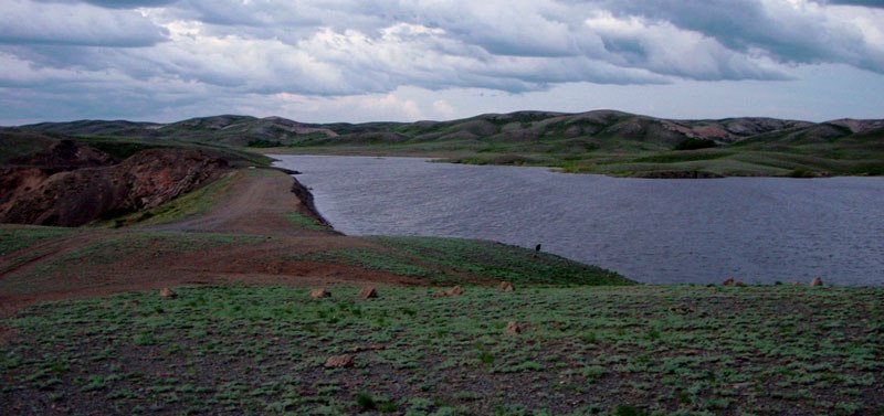
As a result, there appears new information about this type of volcanism. Shuyldak paleovolcanic area is already a place for numerous scientific studies, professional tours. In the near future visits to the area with tourist and scientific purposes, of course, will be increased both by the growing interest of the citizens of Kazakhstan and the inflow of travelers and explorers from near and far abroad.
The Shuyldak paleovolcanic area is undoubtedly competitive geopark.
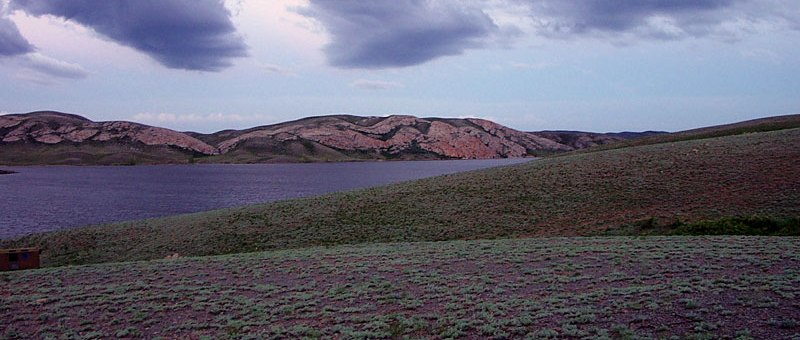
Geographic coordinates of Shuyldak natural boundary: N48 ° 37'16.91 "E58 ° 40'33.74"
Geographic coordinates of the Zhylgyztau paleovolcano: N48 ° 42'33.15 "E58 ° 42'33.29"
Geographic coordinates of the Aralbas (Alabas) paleovolcano: N48 ° 32'51.14 "E58 ° 36'58.93"
Authority:
Ilya Fishman, Yuliya Kazakova “Millions of years before the Silk Road. Geoparks in Kazakhstan”. Printing house “Idan“ Kommunal’naya, 39, Almaty, Kazakhstan http://yadi.sk/d/4_6z_blyoxnqe
Photos by
Alexander Petrov.