You are here
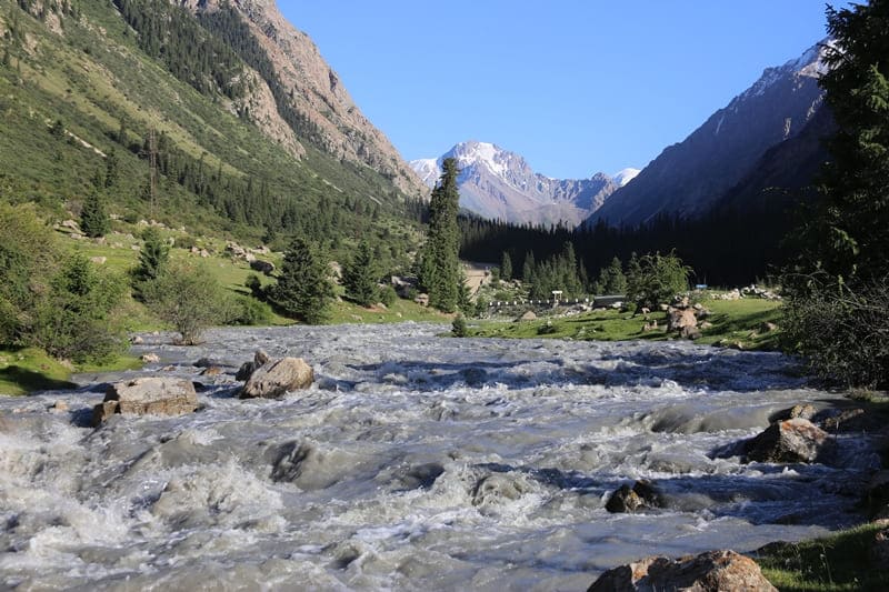
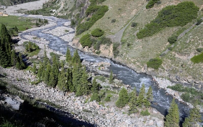
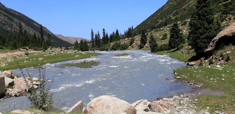
River Barskoon.

Walking tour to gorge Barskoon.
"A river in the mountains, about three miles from the entrance to the gorge, already flows between flat banks and only in the last 6 miles before the mouth has dug a deep ravine for itself. The river flows in rapids, through ridges of huge stones, between which there are intervals of comparatively quiet flow, with a small-pebbled bottom, in these intervals it flows in many branches, and the crossings are easy even in the highest water, for example, at the end of May, when Protsenko was here; during my passage, in the fall - even easier."
"Travel through the Turkestan region and exploration of the mountainous country of Tien Shan." N. A. Severtsov. 1873.
Mountain hiking from Issyk-Kul lake to Batskoon gorge.
Sources of Barskoon River are located southeast of pass of same name at an altitude of 3754 meters above sea level, mouth of river is at an altitude of 1609 meters above sea level, located on northern slope of Terskey Ala-Too ridge, in Jety-Oguz district of Issyk-Kul region.
The river originates from the main ridge of the Terskey Ala-Too ridge and flows into a small bay of Barskaun on the southern coast of Lake Issyk-Kul. The length of the Barskoon River is 62 kilometers, the catchment area is 352 square kilometers.
The Barskoon River has over 40 tributaries, the largest of which are the rivers Dyungyuremyo, Sharkyrak, At-Dzhailoo, Dzhany-Korgon, Kerege-Tash and others. The main source of nutrition is melted snow and glacial waters. The flood begins in May and ends in September.
The average annual water flow is 4.07 meters per second. The Barskoon River flows through the Barskoon Gorge, cutting through the northern slope of the Terskey Ala-Too ridge in the meridional direction, only in the upper part it takes a latitudinal direction (the Kerege-Tash River basin).
It stretches from the centerline of the Terskey Ala-Too ridge to a narrow lakeside plain on the southern shore of Issyk-Kul. The height of the gorge bottom above sea level is from 1800 to -3500 meters. The length from the source of the river of the same name to the lakeside plain is 62 kilometers.
The height of the sides above the bottom is from 300 - 500 meters (in the foothills) to 1000 - 1200 meters. The slopes are steep (over 450 meters), often sheer. The upper reaches of the gorge are an area of modern glaciation with trough valleys, corries (circuses) and varied moraine relief.
The bottom of the Barskoon gorge is narrow (no more than 100-150 meters), in places it forms expansions (up to 300-400 meters), cut and deepened by the Barskoon River and its tributaries. The lower part of the gorge, where there are hanging glaciers and snowfields, is laid within the foothills, composed of tertiary, mainly Neogene conglomerates and loess-like loams of the anthropogene.
Geographical coordinates of Barskoon River: N42°01'11 E77°36'28


Author and photos by:
Alexander Petrov.


