


![]()
You are here
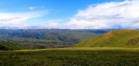
Plateau between rivers Zhinishke and Shilik.
Adventure tours Kazakhstan.
"In his tools, man has power over external nature, while for his purposes he is rather subordinate to it"
Georg Hegel.
Trekking Tours Kazakhstan.
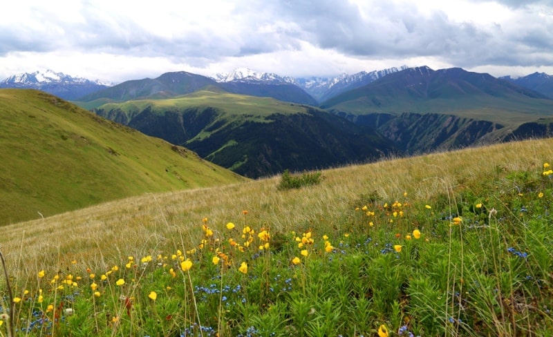
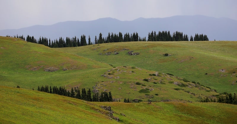
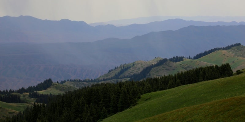
The watershed plateau between the Zhinishke and Shilik rivers is located in the eastern spurs of the Zailiyskiy Alatau ridge and in the western part of the Aksholak mountains in the Kegen district of the Almaty region.
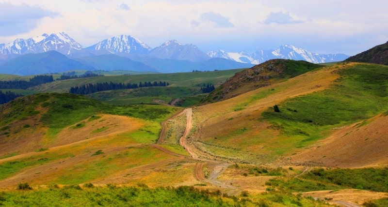
The plateau stretches from west to east for 16 kilometers, the largest width of the western part of the plateau is almost 5 kilometers, the width of the eastern part is 3.5 kilometers. Taking into account the leveled intermontane areas of the surface, it is possible to divide the plateau into eastern and western parts.
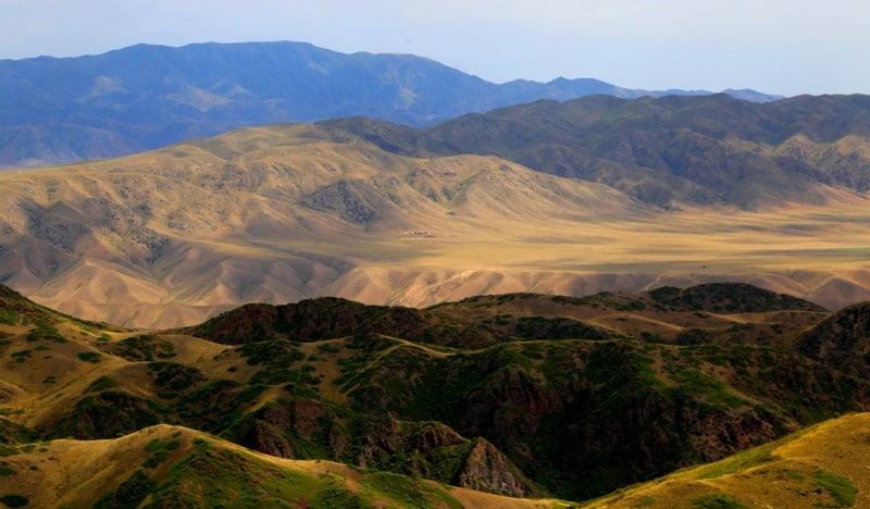
The eastern part of the plateau is limited by the Shetendy valley in the south, the Ashykdala valley in the southeast, the spring sources of the Biesyumes and Kurkoba rivers in the east, the Taban-Karagai valley in the north and almost, a meridional small valley of the Maybulak river in the west.
Bypassing the headwaters of the Maybulak River at an altitude of 2989.9 m. a. s. l. and moving to the west, you can reach a wider territory of the plateau - the western one. From the east, this part of the plateau is limited by the sources of the Maybulak River and the western part of the Shybyn natural landmark, from the south by the sources of the Shybyndysai and Orla rivers, from the north by the Taban-Karagai valley from the west by the eastern end of the Atzhorganzhota natural landmark.
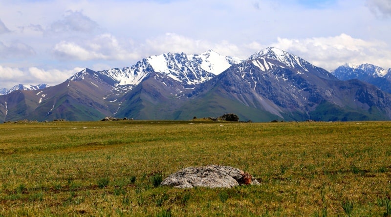
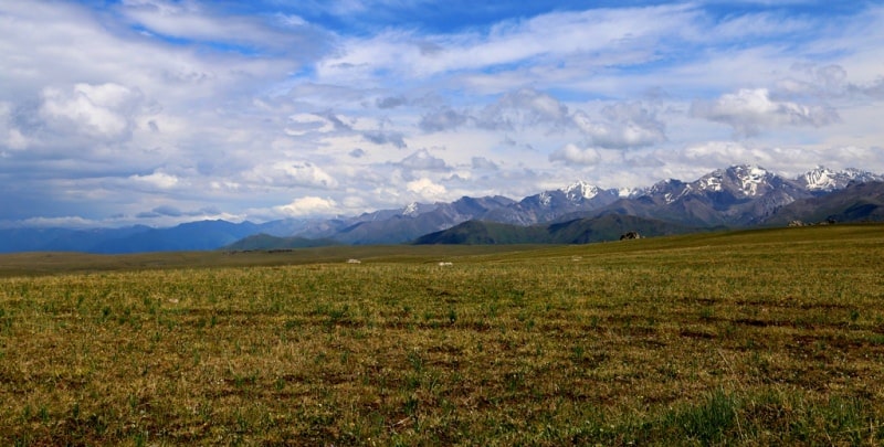
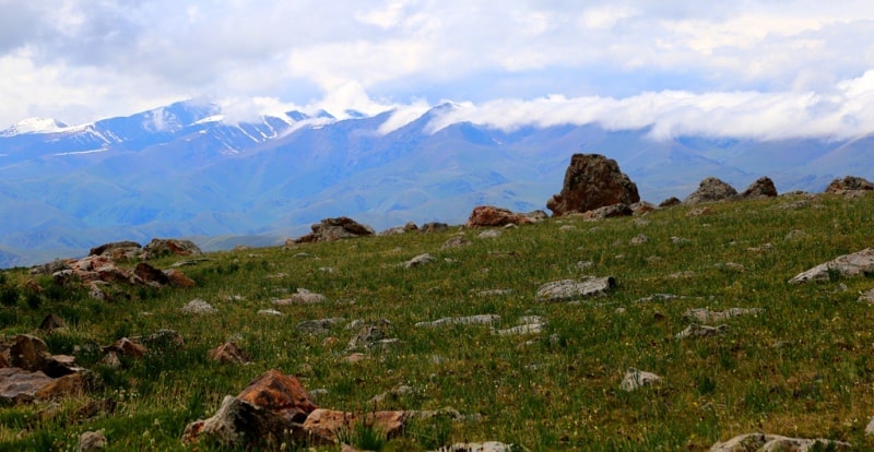
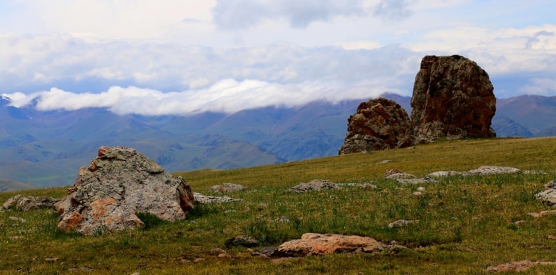
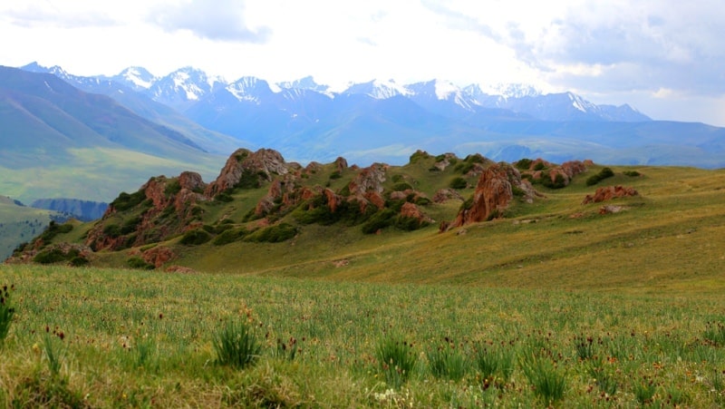
In the western part of the plateau it is located at an altitude of 3209 m. a. s. l., in the eastern part of the plateau at an altitude of 2400 m. a. s. l. The western part of the plateau ends with scattered huge rocks and stones, to the north of the highway at an altitude of 3233.6 m. a. s. l., this is the so-called Stone Town, which was named after motor tourists.
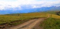
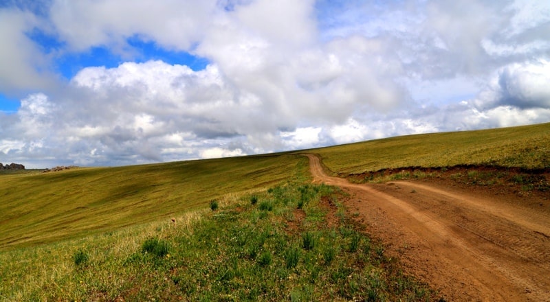
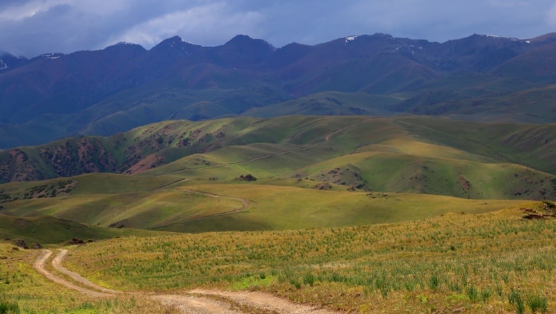
Highways go through the plateau to the Amanzhol gorge, which leads to the Shilik river valley through the Akkiya pass with a height of 2933.1 m. a. s. l. From the beginning of the eastern plateau to the mouth of the Amanzhol River - 40 kilometers.
One of the roads from the eastern plateau, bypassing the height of 2476.2 m. a. s. l., leads to the Taban-Karagai tract to the northern slopes of the Zhinishke River and to its upper reaches. Another road, which starts from the eastern plateau in the eastern and further southern directions, with a length of 20 kilometers, leads, bypassing the Aksholak mountains to the Shilik river valley to the automobile bridge between the villages of Kurmenty and Saty and the right-bank mouth of the Kolsay river.
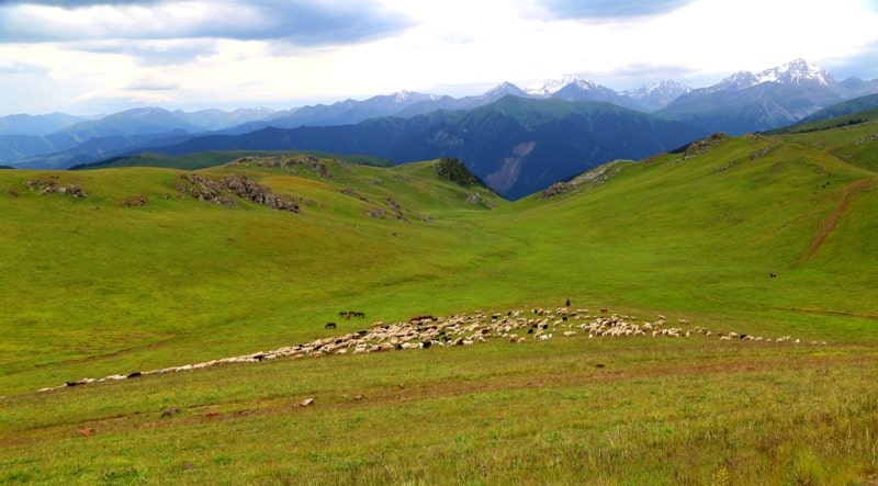
In summer, the plateau is dry, there are practically no sources of water, only due to rainfall there is an abundance of herbs. The vast expanses and abundance of pasture attract numerous herds of cattle, herds of horses and flocks of sheep here in the summer months.
The plateau is a favorite place for tourists.
Geographic coordinates of watershed plateau between rivers Zhinishke and Shilik: N43°04'3" E78°07'01
Authority and photos by
Alexander Petrov.