


![]()
You are here
Ontustik turktul Karynzharyk.
Photos of Karynzharyk.
"Traveling and living is much more interesting if you follow sudden impulse»
Bill Bryson. "Travels in Europe».
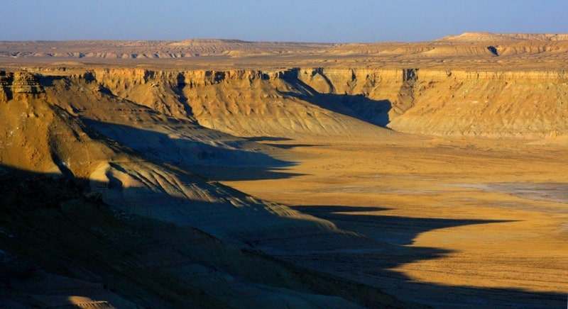
Drive from Zhanaozen to Karynzharyk.
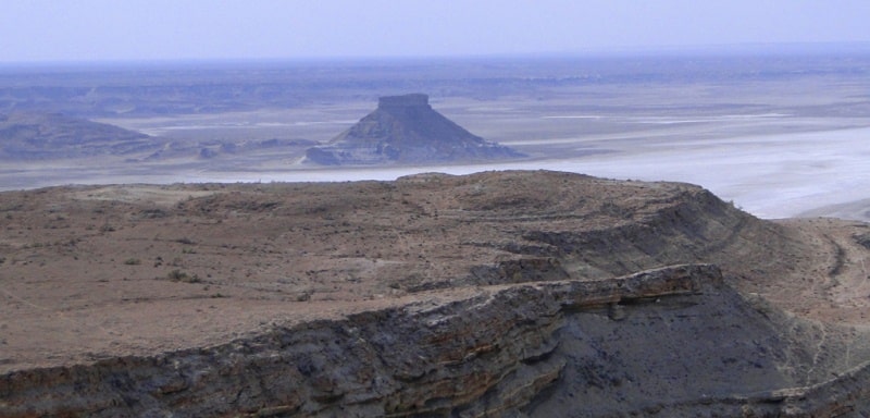
Ontustik turktul Karynzharyk are located in the southernmost part of the Karynzharyk depression in the southeastern part of the Mangistau region, on the territory of the Ustyurt nature reserve, 42.5 kilometers southeast of the Ak-Kuduk village and 65.9 kilometers to the east and slightly south of the Basgurly depression in the Karakiya district in the southeast of the Mangistau region.
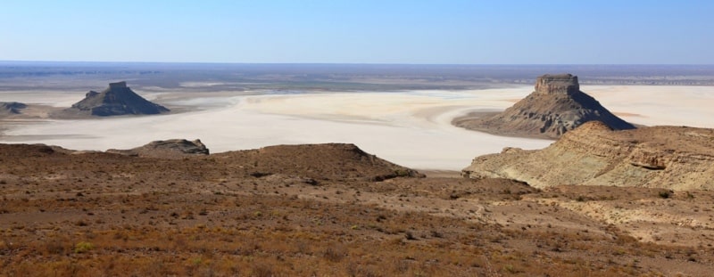
In the southern part of the depression there is a denudation mountain range of five isolated table outliers:
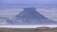
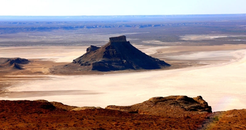
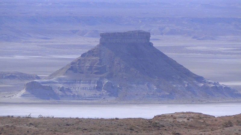
- Ontustik turktul Karynzharyk, the southernmost outlier 61.4 meters above sea level.
Ontustik turktul Karynzharyk is elongated, almost in the latitudinal direction, its base at the bottom of the depression is: length 830 meters, width in the central part 472 meters, the perimeter of the outlier along the bottom is 2.2 kilometers.
The distance from the western cliff of Ustyurt to the southwestern outlier is 2.8 kilometers, from the western part of the depression - 6.8 kilometers. Ontustik turktul Karynzharyk is located at the bottom of the depression, approximately - 60.3 meters below sea level.
Ontustik turktul Karynzharyk is the most destroyed of all the remnants in the Karanzharyk depression. In the south of the outlier, 2 kilometers away, there is the Kyzylsay hill, 128.6 meters high above sea level.
Geographic coordinates of Ontustik turktul Karynzharyk: N42 ° 36'03.20 "E54 ° 15'13.64"
Authority and photos
Alexander Petrov.