


![]()
You are here
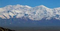
Muzkol Range.
Go on a journey in Tajikistan.
“The real voyage of discovery consists not in seeking new landscapes, but in having new eyes”
Marcel Proust.
Quick trip in Tajikistan.
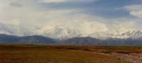
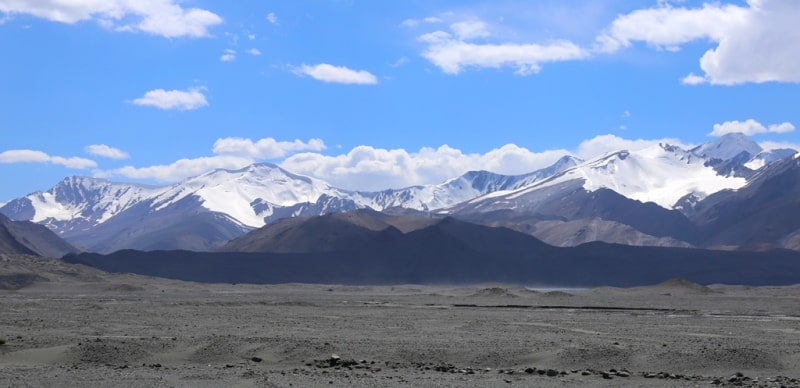
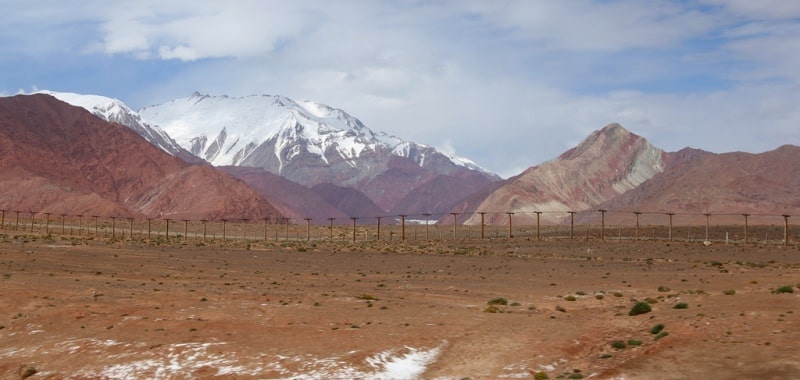
Muzkol Range, a ridge in the Eastern Pamirs, in the Murgab district of the Gorno-Badakhshan Autonomous Region of Tajikistan. It extends in the latitudinal direction from the confluence of the Kudara and Murgab rivers to the Akbaital valley for 110 kilometers.
More than 200 peaks exceed 5,000 meters above sea level, 6 peaks - 6,000 meters above sea level. Altitude up to 6233 meters above sea level - the peak of the Soviet Officers. Adjacent valleys in the north and east lie at an altitude of 4000 to 4500 meters above sea level, in the south and west from 3000 to 4000 meters above sea level.
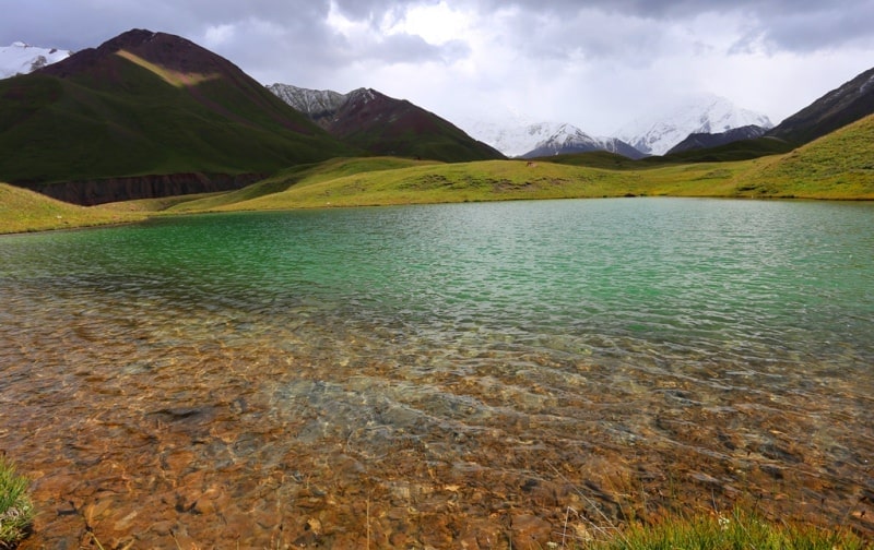
To the south of the foot of the western extremity is located Sarez Lake. The relief is divided from 800 meters in the peripheral parts to 1200 meters in the central. Powerful spurs go to the north - Zortashkol (about 40 kilometers long), North Zortashkol (about 55 kilometers long), separated by the Zortashkol river, and the Akbaital ridge after the Akbaital pass, 4655 meters above sea level.
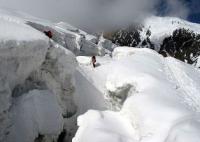
The total area of modern glaciation is 376 square kilometers. The height of the snow line on the slopes of the northern exposure is 5000 - 5150 meters above sea level, on the slopes of the southern exposure 4700 - 5350 meters above sea level.
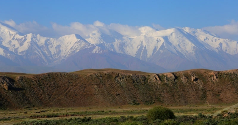
The lower part of the slopes and the bottom of the valleys is an alpine desert; teresken, wormwood, lichens and mosses and vegetation of the mountain-steppe and alpine-meadow types grow. In the Muzkol ridge and its spurs, more than 50 passes with a height of 5000 - 5600 meters above sea level and 3 passes with a height of 4200 - 4800 meters above sea level are known.
The easiest crossroads in the central part are the Soviet Officer passes 5350 meters above sea level and Karabulak 4300 meters above sea level, in the east Sasyksu passes 5250 meters above sea level and Kyzildash Vostochny 5150 meters above sea level.
The main approaches: from the north, east and west from the valleys of the Akbaital, Muzkol, Kokuybel, Kudara rivers, where there are roads, from the south from the valleys of the rivers of the East and West Pshart Range, Murghab and from Sarez Lake.
Geographic coordinates of the Muzkol ridge: N38 ° 24'54.98 "E73 ° 18'43.35"
Authority:
"Glaciers." L.D. Dolgushin, G.B. Osipova. Series "Nature of the world." Moscow, the publishing house "Thought". 1989.
Photos
Alexander Petrov.