


![]()
You are here
Mountains Degeres.

Park Altyn-Emel Tour.
"A map of a mountain region is the biography of the Earth, written by folds, faults, and erosion."
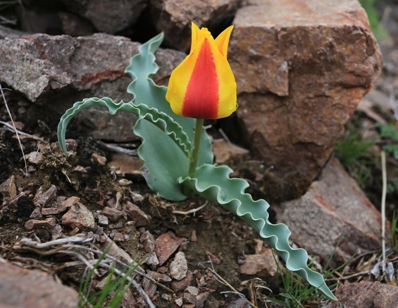
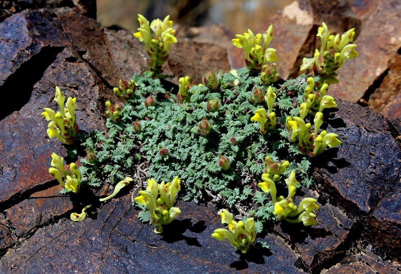
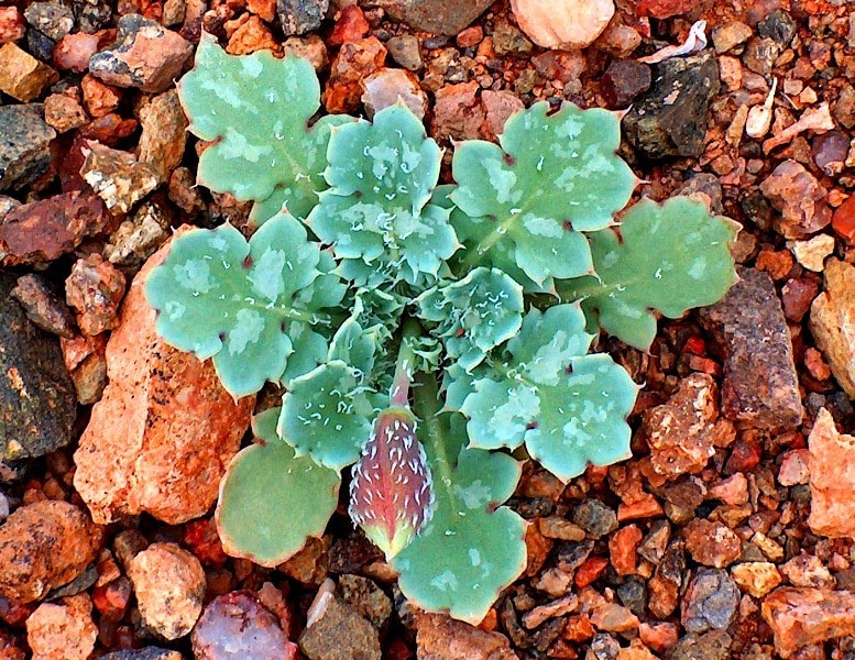
Nature of park Altyn-Emel.
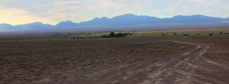
Matai Mountains are southwestern spurs of Altyn-Emel Range, located on right bank of Kapchagay Reservoir. Their southern spurs are within Altyn-Emel Nature Park in Kerbulak District of Zhetysu Region.
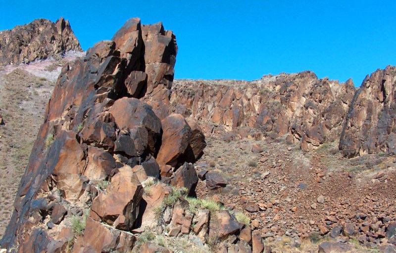
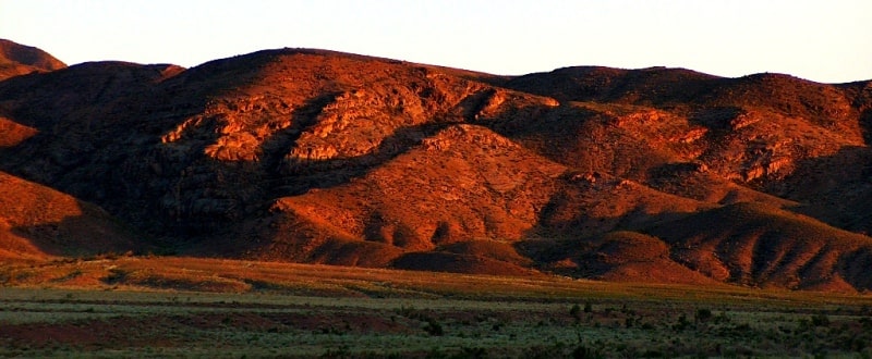
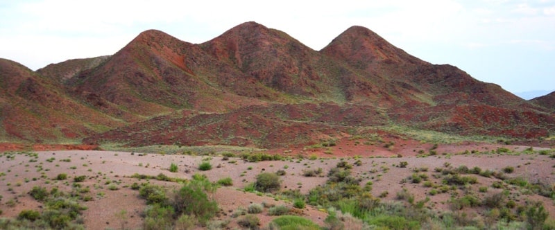
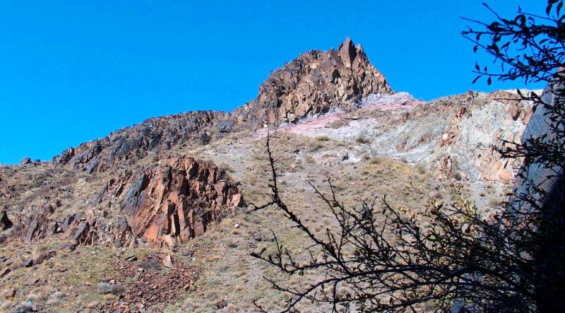
Physical and geographical description of Degeres Mountains.
The southern slopes of the Degeres Mountains are located within the Altyn-Emel National Nature Park. The Degeres Mountains are located in the middle, between the Sholak Mountains to the west and the Matai Mountains to the west. The mountain range in which the Degeres Mountains are located extends from southwest to northeast, consisting of several mountain ranges: the Sholak, Matai, and Altyn-Emel.
The mountain range encircling the Altyn-Emel Nature Park from the north is 182 kilometers long, with its greatest width in the eastern part being 23 kilometers. The dominant elevation in the eastern part of the mountains is Mount Besty, 2,131.3 m. a. s. l.
In the southern part of the mountains lies the second-highest mountain, Shylbyr, at 1,911.2 m. a. s. l. 11.8 kilometers northwest of Mount Shylbyr lies an unnamed peak at 1,623.5 m. a. s. l. The western part is dominated by an unnamed peak at 1,101.4 m. a. s. l.
In the Tuzasu Gorge lies the Zhuzaysu Pass, 1,474.4 m. a. s. l. The Degeres Mountains extend 30.8 kilometers from southwest to northeast, and are 25.3 kilometers wide from south to north.
River Hydrography of Degeres Mountains.
The mountain hydrography is represented by a small number of seasonal rivers with extensive channels flowing into the Kapchagay Reservoir. These include the Uzynbulak, Kyzylashchi, Shylbyr, Taldy, Kusansay, Zhideli, Sarybastau, and Taldysay rivers.
In the southern part of the Degeres Mountains, between the Sarybastau and Kyzylauz winter roads, begins the narrow Sarybastau Gorge, 8.7 kilometers long. From the Taldysay winter road, the eponymous gorge begins, 11.3 kilometers long.
The distance from the southern edge of the Degeres Mountains to the northern shore of the Kapchagay Reservoir is 8.2 kilometers. The entrance to the Shylbyr Gorge is 4 kilometers from the Besshatyr burial mounds and menhirs.
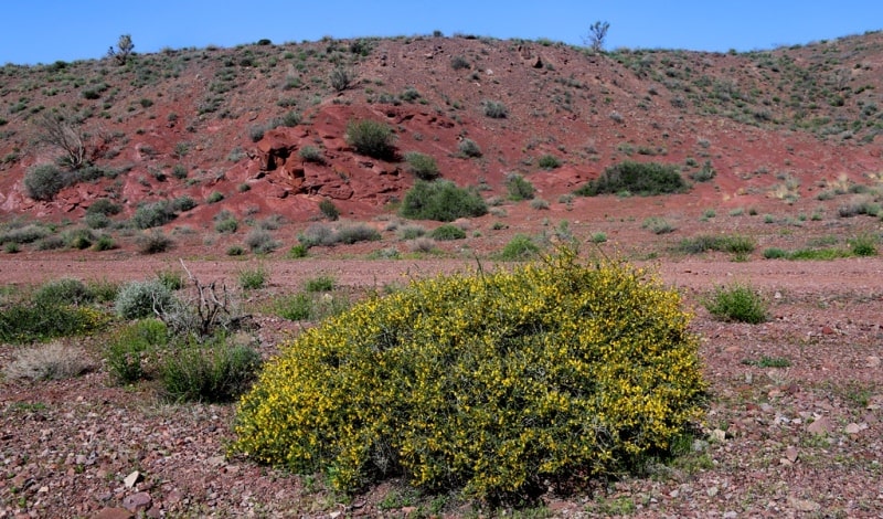
Geology of Degeres Mountains.
The mountains are composed of effusive and granitoid deposits of the Carboniferous, 300-million-year-old period. The deposits are primarily volcanic, Permian, and Carboniferous, with the oldest deposits being Silurian.
Most of the rocks are Paleozoic, 200 to 400 million years old.
Geographical coordinates of Degeres Mountains are: N44°03'33 E78°12'13
Authority and photos:
Alexander Petrov.