


![]()
You are here
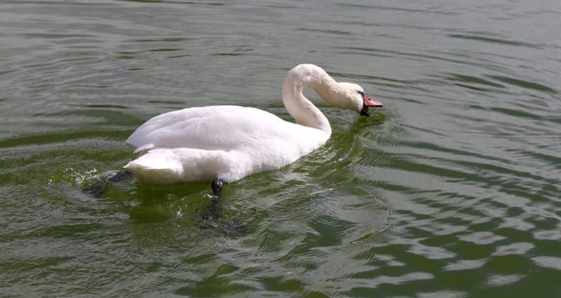
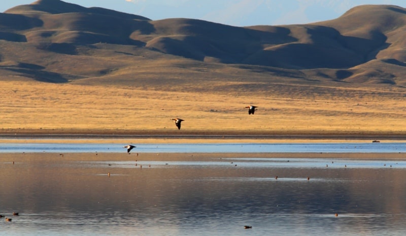
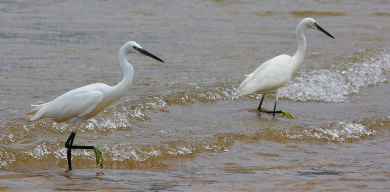
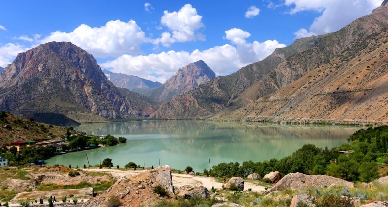
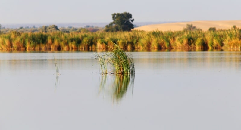
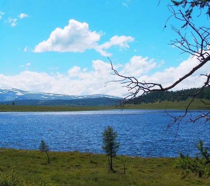
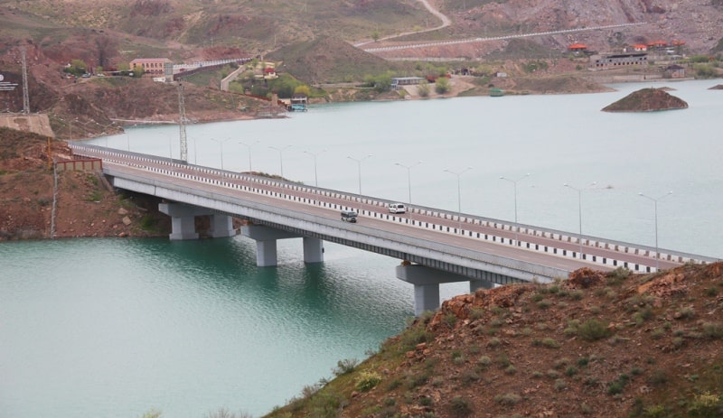
lakes of Central Asia.


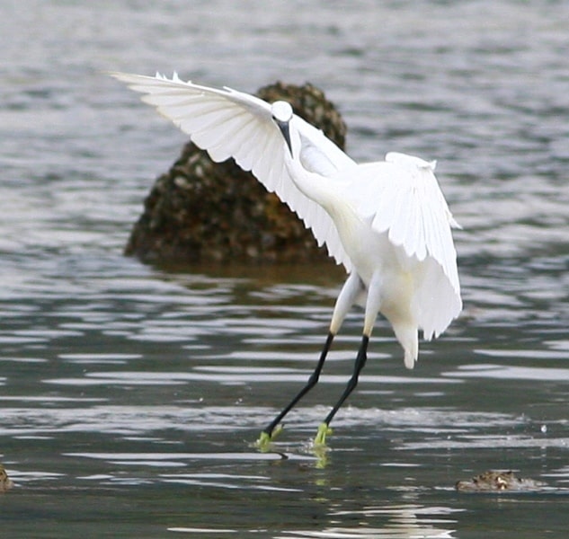
Wildlife Tours in Tajikistan.
“As soon as man seeks to penetrate the secrets of nature - in which nothing is secret and it is but a question of seeing - he realizes that the simple produces the supernatural”
Honore de Balzac.
Flower Tours in Tajikistan.
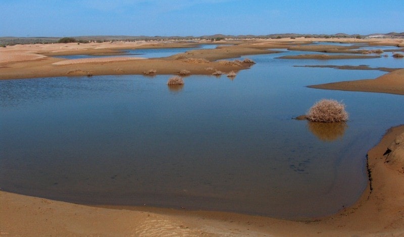
There are many lakes in Central Asia, and, paradoxically at first glance, their abundance is the result of arid climate. Many lakes of the plains with enough rainfall would turn into continuous water flows, since they are confined to the dry valleys.
The statement about the connection of the abundance of lakes with dry climate is legitimate not only for the desert plains of Central Asia, but also for the territory of Central Kazakhstan, where, according to G. E. Bykov and A. E. Mikhailov, an increase in precipitation would lead to increased drainage and descent of lakes.
1. Lakes of tectonic origin, filling the depressions, which were formed due to fractures and troughs of the Earth's crust. The largest lakes of this type are the Aral Sea, Balkhash, Issyk-Kul, Karakul and others. In the valleys of Central Kazakhstan there are lakes springing up with tectonic uplifts.
2. Lakes occupying shallow depressions of the moraine relief on the mountain plateaus and in the mountain valleys subjected to glaciation (for example, the numerous lakes of the Inner Tien Shan syrts).
3. When glacial moraine lakes located at the bottom of mountain valleys, partitioned off by the terminal moraines of ancient glaciers, often near the end of modern glaciers.
4. Tarns (in the mountains of Central Asia are relatively rare).
5. Lakes of a zavalny origin, formed as a result of the huge collapses which have blocked up the mountain rivers in close gorges (Sarez and Yashilkul on Pamir, etc.). Such large mountain landslides are accompanied by an earthquake, but often the landslides themselves, which formed dam lakes, were caused by seismic events (Zindikul on the Peter the First Ridge).
6. Lakes of karst origin, relatively small or very small in area; known both in the mountains (for example, on the ridge of Peter the Great), and among the desert plains (in Ustyurt).
7. Lakes-oxbows in river valleys, especially numerous in the valleys of the Amu Darya, Syr Darya and some other rivers.
8. Delta lakes (typical for Amudarya and Syrdarya deltas).
9. End lakes - terminal lake spills in the mouths of rivers.
Among the lakes there are both salty and fresh. Salt lakes are especially widespread in deserts, since the rivers desalinate there, and salt lakes, being suppliers of salt. Salinity depends on a number of reasons - the influx of river water, evaporation from the surface of the water basin, groundwater recharge, age.
The most common salts are sodium chloride and magnesium chloride, sodium sulfate and calcium. Even in the mountains, the non-flowing lakes have brackish and saline water (Issyk-Kul, Karakul, etc.). When glacial and obstructed lakes are always fresh.
The levels of Central Asian lakes are subject to considerable seasonal variations and depend on the climatic conditions of the year. Fluctuation of lake levels causes a change in the degree of their mineralization. Many lakes of desert plains exist periodically; in spring, when the snow melts (or during heavy rains), they are filled with water, and in summer they dry up, turning into salt marshes with a surface salt crust - the saline march.
Commercial fishery is developed on many lakes, in particular on the largest ones - the Aral Sea, Balkhash, Zaisan. These lakes are used for shipping. In a number of lakes table salt is extracted. Mountain waste lakes (Sarez, Iskanderkul) serve as natural reservoirs and flow regulators of the rivers flowing from them, which can be of great importance for energy.
The Aral Sea is the largest lake in Central Asia, the second largest in the USSR and the fourth in the world (after the Caspian, Lake Superior in North America and Lake Victoria in Africa). Its area is about 64,000 square kilometers, its length is 428 km, and its width is 235 km.
The northern shore of the Aral Sea is cut by deep bays, the western one, on the contrary, is quite even and represents a high precipice (chink) of the Ustyurt Plateau. The eastern shore is low, mostly sandy, with numerous small bays and islands: the edge of the sandy Kyzylkum desert is flooded here.
The flat, low, marshy south coast is formed by the Amudarya delta. The maximum depth (off the west coast) is 65 meters. The surface layer of water in summer heats up to 26–30 °, in winter it cools below 0 ° (in depth even in summer the water temperature is only 1 – 3 °).
In the whole space of the reservoir there is ice in winter; the northern part is usually completely covered with ice. Salinity of water - 10 - 11. The chemical composition of the water is different from the ocean and is close to the Caspian: it has a lot of sulphate salts and relatively little chloride (59% instead of 90% in ocean water).
Compared to the Caspian, there is more calcium here, which in the form of sulphate is brought by rivers. Currents form a clockwise rotation. Fishery is well developed in the Aral Sea (spike, carp, barbel, ide, asp, etc. are caught). Navigation between Aral and Muinak, a port in the Amudarya delta, is carried out.
The expansion of irrigated lands in the Amudarya and Syrdarya river basins and the diversion of water from these rivers through canals to other areas caused a decrease in the level of the Aral Sea (by 3 m in 10 years), and in the future may lead to its complete drying by the year 2000).
To maintain its level at the desired level will be able to water of Siberian rivers. This is one of the reasons for advancing the problem of transferring water from Siberian rivers to the south, to Kazakhstan and Central Asia. Prior to the implementation of this project, urgent measures are needed to prevent unproductive water losses in the Amudarya and Syrdarya basins (losses due to filtration and evaporation in canals, standing bodies of water and irrigation systems, irretrievable discharge of excess water).
The second largest lake in Central Asia - Balkhash - has a length of 605 km with a maximum width of 74 km and a maximum depth of 26 m. In the north and west, the surface of the Kazakh Hills and the directly connected eastern part of the Betpak Dala desert breaks off to the lake.
Spaces of sandy deserts and the marshy delta of Ili stretch on the southern coast. The lake is divided into five morphologically and hydrologically almost separate pools by narrowed sections. In the western part of the lake the water is fresh, in the eastern - brackish.
The low salinity of the waters of the drainless lake lying in the middle of the desert and the relative poverty of its fauna indicate that the reservoir is relatively young in its present form. In winter, Balkhash freezes. Of commercial fish in the lake are common carp, pike perch, perch, marinka. The lake is navigable.

Authority:
N. A. Gvozdetsky, N. I. Mikhaylov. "Physical geography of the USSR. Asian part. The edition third corrected and added. Moscow "Thought" of 1978. http://tapemark.narod.ru/geograf/1_5_5.html
Photos by:
Alexander Petrov.