


![]()
You are here
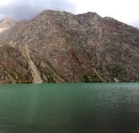
Lake Almaty in Chon-Kemin gorge.
Adventure travel of Kyrgyzstan.
“Your peak is proud, adamant,
There is only blue and quiet above her,
Your pillars are steep slopes.
You will not kneel before anyone"
Lodongiin Tudev (Mongolian poet), translated by Y. Belinsky.
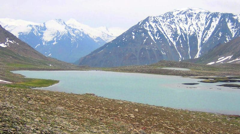
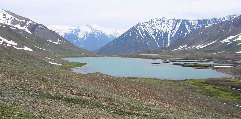
Lakes in Chon-Kemin gorge.
Lake Almaty is located at an altitude of 3524 m. a. s. l., located on the southern slope of Zailiyskiy Alatau mountain range, in upper reaches of the Almaty River, 771 meters south and slightly east of the Almata pass, 1.3 kilometers southwest of state border between Republic of Kazakhstan and Republic of Kyrgyzstan in Kemin district of Chui region.
The length of the lake from south to north is 595 meters, the greatest width in the southern part of the lake is 226 meters, in the north - 199 meters. The perimeter of the lake is 2059 meters, the area is 141148 square meters. From the south-west, two nameless, full-flowing streams flow into the lake, from the south the Almaty stream flows into the lake, originating from the pass of the same name.
On the western side of the lake, a swampy delta is formed by two streams. There is a small lake 194 meters southwest of the lake. In the northwestern part of Lake Almaty, there is a moraine lake at an altitude of 3743 m. a. s. l. A small river 3.2 kilometers long flows from the northwestern part of the lake and flows into Lake Almaty from the western side.
The lake is 260 meters long from south-east to north-west and 129 meters wide. The perimeter of the lake is 650 meters, the area is 0.03 square kilometers.
Geographic coordinates of moraine lake: N42°58'04 E76°50'57
From the southern end of the lake flows the Almaty river with a length of 9.2 kilometers and is the right tributary of the Chon-Kemin river. The mouth of the Almaty river is located at an altitude of 2700 m. a. s. l.
Geographic coordinates of Almaty River: N42°54'02 E76°53'28
After 2.8 kilometers after the source, the Ak-Suu tributary, 5.6 kilometers long, flows into the Almata River on the right side. The Ak-Suu River originates from small glaciers located on the eastern slope of the Zailiyskiy Alatau ridge at an altitude of 3786 m. a. s. l.
The mouth of the Ak-Suu river is located at an altitude of 3223 m. a. s. l.
Geographic coordinates of Ak-Suu river: N42°56'16 E76°51'37
Geographic coordinates of Almaty lake: N42°57'47 E76°52'28
Authority:
Alexander Petrov.
Photos by:
Sergei Mikhalkov, Almaty city.