


![]()
You are here
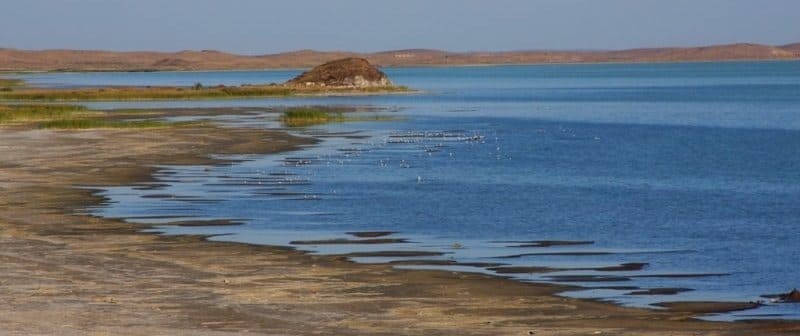
Island Orta on Alakol lake.
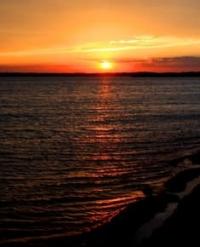
Photo tours in reserve Alakol.
“The machine does not isolate man from the great problems of nature but plunges him more deeply into them”
Antoine de Saint-Exupery.
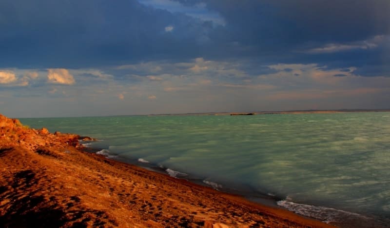
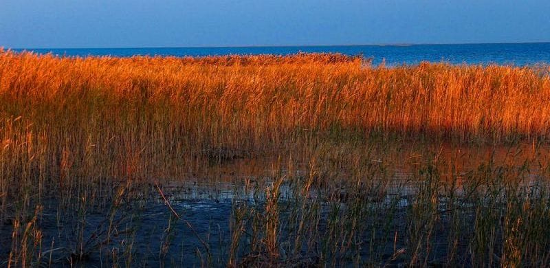
Discovery Alakol lake and Kazakhstan.
Orta Island (Russian: Middle) is located at an altitude of 347.7 m. a. s. l., in eastern part of Lake Alakol, on territory of Alakol Nature Reserve in Urdzhar district of Abay region.
The length of the island from southeast to northwest is 605 meters, the greatest width in the northern part is 412 meters, the area of the island is 167,767.07 square meters, the perimeter of the island is 1582.86 meters. Orta Island has the appearance of a gently sloping peak of a rocky-gravelly hill, rising 53 - 60 meters above the water and oriented from west to east.
It is located 4521 meters southeast of the island of Ulken Araltobe and 1830 meters northwest of the island of Kishkine Araltobe. The southern and western slopes of the hilly peak of the island are overgrown with bushes of boyalych, wormwood, cereals, saltwort, on the northern slopes with teresken, spirea, oppressed rosehip bushes, ferula, rhubarb, wormwood, feather grass.
Biyurgun, sarsazan, wormwood, bedbug (Lepidium latifolium) grow along the foot of the hill. The coastline is gravel-sandy. The southwestern part of the island is steep, with bedrock outcrops, on the ledges of which there are numerous nests of cormorants and gulls.
On the gently sloping rocky terrace in the southern corner, there is usually a colony of black-headed gulls and gulls. The top of the hill is occupied by relic gull and gull-nosed tern, meadow tirkushka, and the eastern and northern sides are occupied by a continuous settlement of river terns, the density of which in June 1999 was 1 - 2 nests per 1 square meter.
Geographic coordinates of Orta Island on Lake Alakol: N46°07'43 E81°51'37
Authorship:
Berezovikov Nikolay Nikolaevich, Cand.Biol.Sci.
Photos by:
Alexander Petrov.