


![]()
You are here
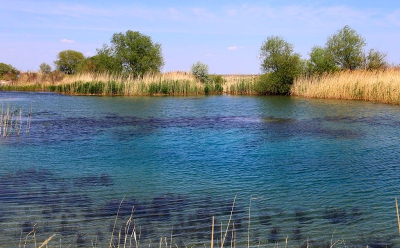
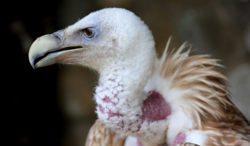
Groundwaters of Central Asia.


Natural Wonders Adventure in Kazakhstan.
“The miracles of earth are the laws of heaven”
Jean Paul Richter.
Holidays tour in Kazakhstan.
Two types of groundwater are widespread in Central Kazakhstan: cracks confined to Paleozoic rocks, and reservoir waters in Paleogene, Neogene and Quaternary sediments. In the hydrogeological sense, the Central Territory is divided into three main types: mountain, piedmont and flat.
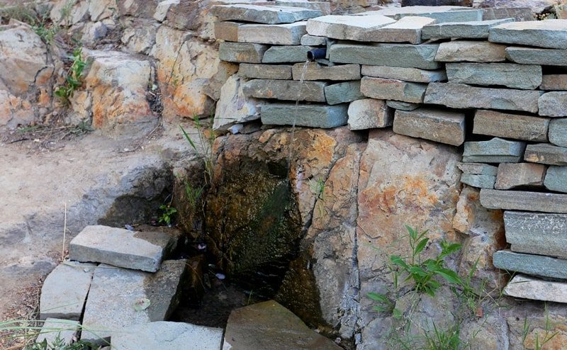
In mountainous areas, the melting of snow and rainwater is immersed, that is, these are areas of groundwater recharge. There are many sources in the mountains, which are characterized by low mineralization and predominantly hydrocarbon composition of water. Fractal waters in crystalline and metamorphic Paleozoic rocks are especially poorly mineralized.
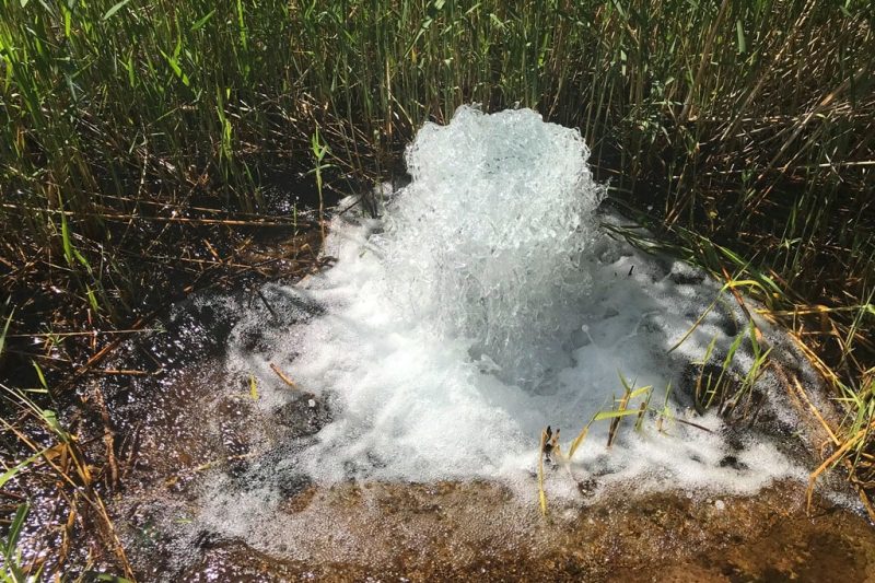
The sources fed by these waters have a significant and constant flow rate. In limestone strata karst hard waters circulate, sometimes giving very abundant sources of type (for example, Abshir-Bulak in the northern forward chain of the Alai Range).
In the Mesozoic, Paleogene and Neogene sedimentary strata, along with cracks, there are also reservoir waters. Sources fed by stratal waters are less constant and often have a small flow rate. In the foothill areas and on the piedmont sloping plains, there is a transit of groundwater feeding in the foothills and upper parts of the fan; in the lower parts of the fans, partial wedging of water occurs.
Pore waters predominate on the piedmont plains, although fracture is also developed in conglomerates. Groundwaters here form a solid mirror, the direction of the slope of which coincides with the slope of the surface of the foothill plains and their components of the fan. Sometimes the waters are pressurized.
For the upper parts of the alluvial fans, powerful aquifers in a gravel-pebble material with high yield are typical. In the lower parts, where layers of different water permeability alternate, the aquifer is often multi-tiered, with more or less insulation on separate sections.
At the periphery of the piedmont trails, there is an immersion of the groundwater mirror towards the desert plains; at the same time, salinity increases significantly. On the young, mostly Quaternary alluvial and coastal desert plains, composed of loose and poorly cemented sandy clay strata, there is usually ground water with a hydraulically single mirror over large areas.
It is dominated by the transit of groundwater from the remote supply, they are spent on evaporation and transpiration. Local nutrition is not decisive in the overall balance of groundwater, although sometimes its role is significant.
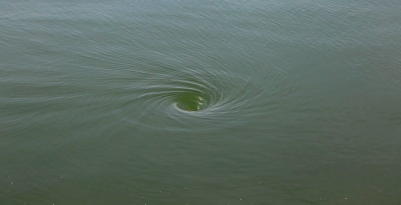
The slope of the groundwater mirror from the feeding areas to the largest lake hollows (Caspian, Aral, Balkhash) or desert depressions (Sarykamysh depression) is observed. The groundwater mirror of alluvial desert plains is a surface of underground streams with a cross section of tens and even hundreds of kilometers and a capacity of tens of meters.
The bulk of their water is formed by filtering from the channels of large rivers, immersing waters in delta spills and underground runoff from piedmont plains. The upper zones closest to the power sources carry fresh and slightly saline water in most cases.
With increasing distance from power sources, a change in the chemical composition of water occurs, depending on the dissolution of salts of the surrounding rocks, ion exchange and intra-breed evaporation. An increase in the total mineralization, a transition to sodium chloride salinity, and the appearance of calcium chloride water are observed.
The waters of the northern alluvial plains of Central Asia are more fresh than those of the southern ones. Strong salinization is observed here at a considerable distance from the main power sources, local food is becoming more important.
On the southern plains of the desalinated water zone, associated with the inflow of transit waters from the feeding area, in short, high salinization occurs faster. For structural desert plains, composed mainly of marine sediments, a hydraulically unified groundwater mirror is not typical.
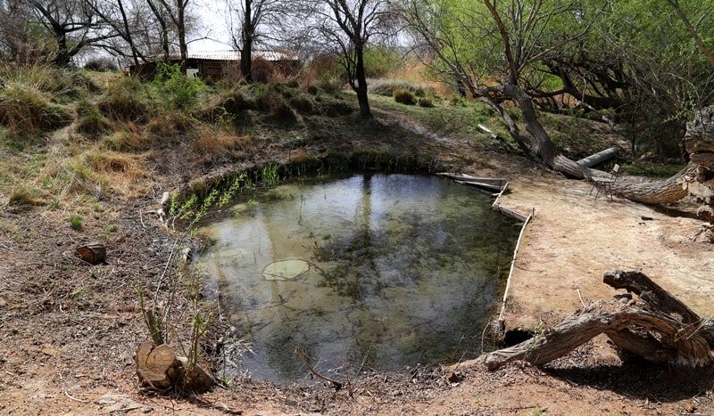
Localized pools and local streams are widely developed here. Local nutrition plays a decisive role in the balance of groundwater. Remote feeding forms interstratal, in particular artesian, aquifers. The hydrochemical diversity of groundwater and the different depth of their occurrence are characteristic.
Groundwater, saturating alluvial sediments of valleys and confined to channel, terraced and delta sediments, plays a major role in the hydrogeology of Central Asia. Where saline groundwater prevails on desert plains, filtration of alluvial waters creates desalinated zones, the width of which can reach many kilometers.
The role of artificial irrigation is great in the balance of groundwater; moreover, the slower the groundwater movement in natural conditions, the more they change under the influence of irrigation. The groundwaters of the desert plains are of enormous importance in the national economy, providing the possibility of developing large-scale transhumance animal husbandry outside irrigated oasis lands. Livestock requires much less water than irrigated farming.
A cubic meter of fresh water consumed for irrigation, with the expenditure of enormous labor, makes it possible to obtain 50-100 g of raw cotton; the same amount of water, and not necessarily fresh, spent on watering sheep, with year-round pasture keeping of herds in the desert provides 3.5 kg of wool, 10 liters of milk, 7 - 10 kg of meat and fat, and also skin.
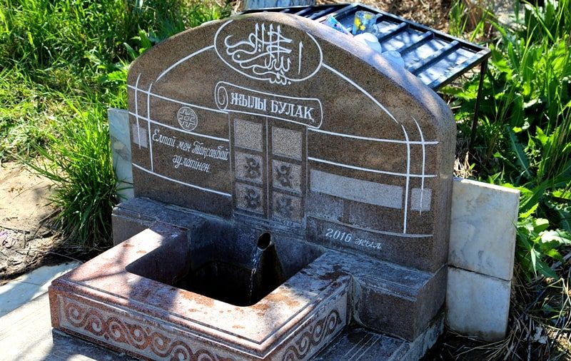
For the development of animal husbandry it is necessary, however, to create a uniform network of watering points Tens of thousands of dug wells of various designs and depths (from several meters to 286 meters - the deepest well in the South-East Karakum) are scattered over the vast expanses of the deserts of Central Asia.
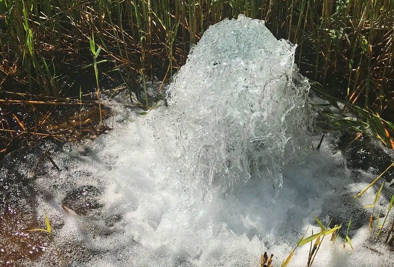
It is necessary to maintain this water system in proper condition, improve the placement of wells and use the techniques of modern hydraulic engineering in their construction. Hydrogeological studies of recent times have revealed new areas of groundwater flow, huge freshwater lenses and artesian basins.
Thus, the water base for the development of animal husbandry has been expanded, and the possibilities of using the groundwater of deserts for small oasis farming have increased. In some cases, groundwater irrigation is even cheaper than surface water irrigation.
Moreover, for watering of sheep and for irrigating a number of agricultural crops, it is possible to use not only fresh water, but also slightly saline. Along with the search for new aquifers, the improvement and expansion of the well network, it is necessary to increase the collection of precipitation, in particular by arranging simple hydraulic structures on takyrs.
In addition, with the help of a collector system, takyr waters are immersed in the ground and thus create freshwater lenses floating on saline waters. In the Western Karakum artificial lenses of fresh water reach a capacity of almost 20 m.
Perspective Amu-Darya water in the eastern part of Turkmenistan. Water supply problems. An additional source of desert water supply is the production of fresh water from salt by chemical means, and especially by natural freezing.
The next step is the problem of desalination using solar energy. Sea water is desalinated in large quantities using thermal energy from heat and power plants and nuclear reactors. Such desalination plants are already in operation at a number of points on the Caspian coast, and a powerful installation in the city of Shevchenko, working on atomic energy, desalinates 120 thousand tons of seawater per day.
A radical improvement in the water supply of desert pastures and oases is achieved by transporting river waters over long distances through irrigation canals. The waters of the Syr Darya irrigate large spaces of the Hungry Steppe.
The waters of the Amu Darya through the Karakum Canal are diverted to the Mary oasis in the lower Murghab, to the Tedzhen oasis and further to Ashgabat. Then the canal goes along the Kopetdag to the north-west to Kazandzhik.
When laying the channel in the Kopetdag plain, artificial explosions were used. The total length of the main channel highway will be 1100 km. At Kazandzhik, the canal will be branched off: the left branch will go to subtropical areas of south-western Turkmenistan, the right - towards Nebit-Dag.
In Nebit Dag, from it to Krasnovodsk and other cities and towns of the industrial region of western Turkmenistan its water will be supplied through pipes. The Karshi, Amudarya-Karakulsky and Amudarya-Bukhara channels are created on the right bank of the Amu Darya.
The Takhiatash Canal is heading from the lower reaches of the Amu Darya towards Uzboy. The Zeravshan created the Shafaran hydrotechnical center, which improved the water availability of the Bukhara oasis. In the sands of Kyzyl Kum, a channel was laid from the Chardara reservoir on the Syr Darya.
In addition to open canals in the deserts (Karshi “steppe”, Kyzyl Kum), water conduits in the pipes were constructed. For irrigation purposes (often together with hydropower) large reservoirs have been created. In addition to those already mentioned (on the Ili, Amu Darya, Syrdarya rivers), we call Tash-Utkulskoye in the middle reaches of the Chu River, Kirovskoe on the Talas River, Andijan is being created on the Karadarya.
The development of the problem of strengthening and regulating the internal moisture in circulation in Central Asia is extremely important in the long term. It is necessary to find out the possibility of increasing the evaporation of moisture when expanding the area of irrigated land, artificially increasing precipitation in the high mountains, and creating large reservoirs in mountain valleys by the method of directed explosions that cause artificial blockages.

Authority:
N. A. Gvozdetsky, N. I. Mikhaylov. "Physical geography of the USSR. Asian part. The edition third corrected and added. Moscow "Thought" of 1978. http://tapemark.narod.ru/geograf/1_5_5.html
Photos by
Alexander Petrov.