


![]()
You are here
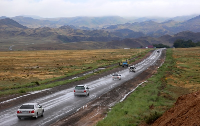
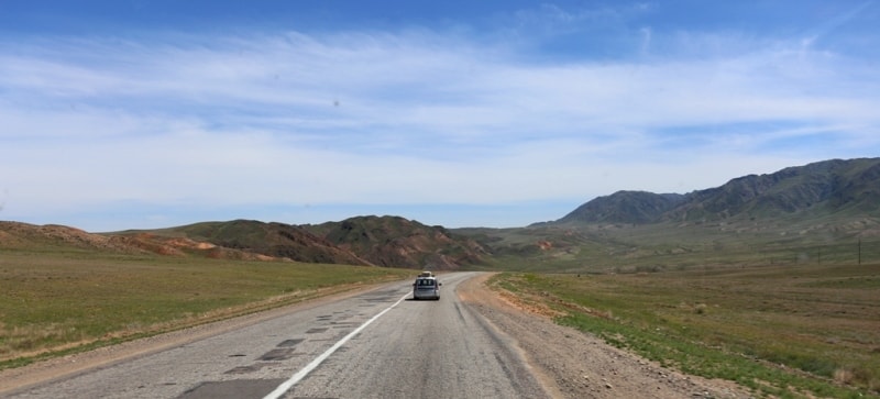
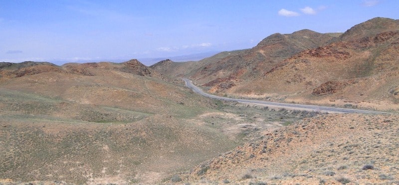
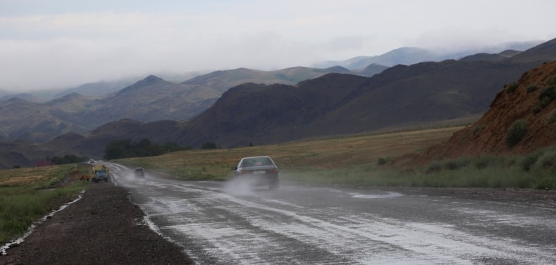
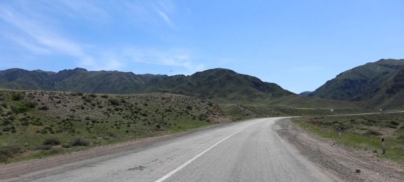
Car routes to Charyn.

Adventure tour in steppe Kazakhstan.
“All nature wears one universal grin”
Henry Fielding.
Travel across Charyn canyon.
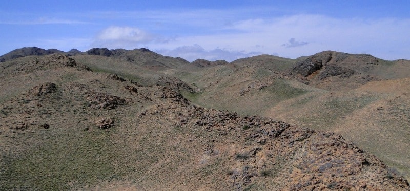
Similarly to a high coast, the Zailiisky Alatau encloses the great ocean of the Kazakh steppe from the south. Flora of steppe is strongly rarefied herbage. It includes various wormwood with a feather grass and a tipchak.
The black wormwood, in Kazakh-maikara grows here, that in translation means « black fat ». Eating this grass sheep quickly grow fat. On boggy spots at the rivers the reed grows. It is being cut in the winter, and it is used for the construction of the warmed premises for the winter maintenance of sheep. Loch and sea-buckthorn berries are widespread on the rivers' banks. The steppe is beautiful and fresh in the spring. You get a great pleasure admiring its diversity of colors.
Wherever you look in the steppe you see lots of grass. Onions, tulips, fructify blossom fast, giving up the place to a vegetative cover of summer. Trees do not grow because of lack of moisture. They can be seen only on the rivers' banks.
For a long time the steppe zone was used for nomadic animal industries. The Kazakhs almost were not engaged in agriculture. But, owning the huge, poorly populated territory, they had an opportunity to wander the year round with the cattle from one pastures to others.
In the summer cattle was herded on the Alpine meadows of high mountains, overtook on winter pastures, to the places well protected from winds by mountains in the winter. On a way between the two pastures spring pastures and autumn ones were settled down.
Kazakhs wandered with auls (villages) or groups of auls, placed mainly in a meridian direction, in conformity with change of seasonal pastures. Thus each clan had the certain routes , provided by forages and watering places on which other clans had no right to enter .
Transition to the summer pasture was a solemn event in a life of the Kazakhs. The у started to prepare for it in spring already. At this time they cut sheep, finished breed animals, the cattle before road was fed with spring forages.
And here there comes a significant day. Ahead on road there are caravans of the loaded camels, and on each side and behind herds of sheep, horses, large horned livestock move. After every 15 - 20 km. they stopped in places where there was a good herbage and a watering place.
The Kazakhs fixed the yurts adapted to fast transition from a place to a place. They could be disassembled, put fast into the bales, load on horses or camels, and then be fixed on a new place. This type of dwelling suited the nomadic people most of all.
On summer pastures the Kazakhs with the cattle were from May-June till September. Only with the first snow auls reached winter pastures where they stayed for 5 - 6 months. On wintering they lived not in yurts (tents), as in summer, but in low small houses from turf, a clay-brick or a stone with flat roofs and earthen floors.
Winter months were considered to be the most difficult in a year as stocks of hay was not enough. Sheep were fed with a green fodder. In droughty years when in the summer pastures burnt out, and the winter was long or after thawing weather burans (storms) started, the ground was covered with ice and the cattle could not get grass under it and thus perished from famine. It referred to as jute. Once in 10 - 12 years it thoroughly ruined cattle facilities.
Today in steppe zone of the Zhetysu grain and commercial crops, vegetables and fruit are successfully grown up. Kazakhstan possesses rather developed agro industrial potential, allowing producing agricultural products at rather a modern level of agricultural production.
The Zhetysu is characterized by the developed irrigation agriculture, sheep breeding, cattle breeding. Here we have about 80 % of all irrigated grounds of Kazakhstan and 100 % of tobacco, 90 % of a sugar beet, fruit, grapes, 50 % of vegetables are produced.
In plant growing the main food culture is wheat. An environment allows to get its steady crops (1500 kg. per hectare). On the irrigation grounds in a lower flows of the Ile river there're huge areas of rice (the most northern in the world).
Other grain crops are also cultivated also: barley, an oats, millet, corn, and also commercial crops among which a sugar beet, tobacco have the greatest value. Gardening, wine growing, and vegetable growing are well developed.
Foothill and mountain areas are the best areas for the vegetable growing. The fruits grown up here have different high taste properties. Well-known Almaty aport (sort of apples) grow in mountain areas. In April-May slopes of foothills are covered with continuous white-pink gentle color. In summer under the plentiful bright sun juicy large fruits ripen.
90th km of the road. There's Karaturyk settlement where stations of kins Enke and Tanta of tribe Kangly were found, concerning approximately in VI - V с.c. At 98km there salavar village which lihasa long and interesting history.
Ruins of ancient settlement Lavar are on a suburb of the same named settlement. In a plan it is a raised quadrangle with the parties of 156 x l65 m., surrounded by fortress walls on which it is possible to see the remains of 16 round, strongly guttered towers. In the east wall, closer to the southeast corner there is an entrance to the ancient settlement, 4,5 m wide.
On external contour of walls there is a moat 1,2 - 1,5 in wide and 0,7 - 0,9 m deep. In a southeast part of a site of ancient settlement, closer to a southern wall, a digging pit was made, 3,2 x 5,4 m. sized In cuts of the western and northern walls there's a laying from a row brick.
On depth of 3,05 m. traces of a strong fire are visible: the layer of soot is 10 cm thick; under it - a thin (1.5 - 2 cm) layer of ashes. The pit it is 3,2 m deep. During excavation the ceramics, products from a bone, iron (knifes, a tip of an arrow) were found.
The material allows date the site as of VIII - IX с unfortunately, now the site is a blighted area. Many people do not have « love to fathers" coffins, love to native ashes». Further, behind the village, on thel Old km there's a sanitary stop. Usually here the mobile communication interrupts. Potable water flows from a spring. There is a small bazar, tea shop, toilets with the minimal comfort.
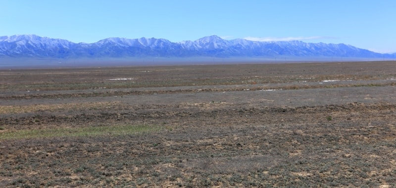
If glance at the mountains, it is clearly seen they are rapidly descending. Being of the Tian-Shan the ridge Zailiisky Alatau is divided into numerous ridges. Here glaciers and snow tops are not seen. The vegetation of foothill plain becomes less juicy, and on not irrigated sites in the summer the grass turns yellow. The air becomes drier, characteristic for a semi desert zone.
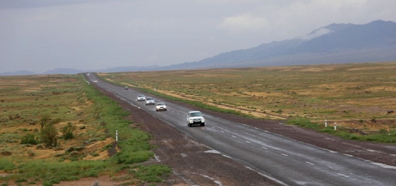
On the 109"' km there's a fork. Shelek village is direct, we have to turn to the right. We pass the settlement by the belt road; the settlement is well arranged, with the asphalted streets, modern road service station and a number of the multi-storey houses successfully combined with the one-storied manors among gardens and vineyards.
The village is located at height of 600 m. above the sea level, in a semi desert zone; at the eastern termination of the Zailiisky Alatau ridge (30 km. from it) there is a large agricultural center (tobacco, wine, melon growing). 118th km. Immediately behind the bridge we should take more to the right on the main road.
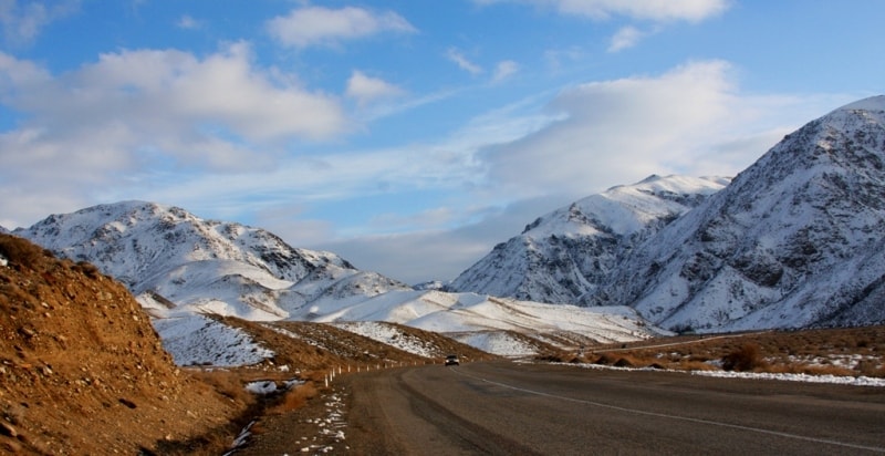
The way to the left goes by settlement of immigrants from Mongolia - Nurly. If take this road after 80 - 90 km it is possible to get to the Boguty ridge and mineral sources. The asphalt covering is broken; transport often goes on saline soil in parallel to the road.
By the bridge we overcome the Shelek river - the largest and the most muddy water-current in the Zhailiisky Alatau which source is in glaciers at height of 3500 - 4000 meters. Joined with the southeast Talgar river, it is named the Tau-Shelek and flows in grandiose, almost impassable gorge with the depth up to 1300 m.
After the Zhalanash hollows turns to the north and, when passed the ridge Toraigyr, runs into the Kapshaghai water basin. Annually the river bears from mountains more than one and a half million tons of mud. In the winter the small river is shallow, it can be overcome on foot.
At the 123 - 125"' km tehre's an oasis, a life to which is given with the Shelek water. It is Bajseit settlement, with a gas station, wires vulcanization, telecom point, numerous cafes, a market with our Kazakhstan peaches, apricots, red pepper. Here many vegetables and fruit grown which began to be cultivated by local residents - the Uigurs.
The Uigurs as well as turks, kirgiz and kipchaks are one of the ancient tribe unions of the Central Asia with rich culture, customs and traditions. In the III - IV centuries they entered into association which in the Chinese chronicles was named as gaogui (high carts). In the Vth century there is a new name tele ( carters) of this union found in the Chinese sources. In the VIIIth century they have based the mighty state which successfully was at war with the Chinese empire.
But in the 840 Jute (famine) has knocked down the power of the Uigurs; they have been conquered by the Khakases and superseded by them far to the south. Their culture was so well developed that their language became a basis for "Latin" of the turcs - chagatai language. The basic grounds of the tele were in the Dzungaria and the Zhetysu. The new wave of resettlement of the Uigurs to the Zhetysu is connected with expansion of the Chines to the Uigurs lands in the second half of the XIXth century.
By religion the Uigurs are moslems. The Uigurs deserved the fame of gardeners. They grow up melons, watermelons, pumpkins in the fields, in kitchen gardens - onions, carrots, beans, garden radish, pepper and various grasses for seasonings -anise, fennel, etc. The bases of national kitchen of the Uigurs are the meals cooked from wheat, corn and rice, with seasonings of vegetables and meat. The huge role in a diet of the Uigurs plays tea. The Uigurs drink salty milk tea.
Among various kinds of creativity the important place belongs to an applied art. The Uigurs reached the high level in building craft. The rests of ancient structures on territories of the East Turkestan, the Assar-sphere temple, cave temples of Min-Oi represent the grandness of these constructions. The important place in an economic and cultural life of the Uigurs takes the manufacture of various products from metals. Metal products have various purpose: economic, ritual, military.
The house weaving is well developed. From a wool they drag felt, weave carpets. Embroidery is the most widespread kind of the Uigur applied art. The 135 km. the Nura Village. There is a small ethnographic museum. In the village about 500 families of the Poles live here, deported here in 1940 when the USSR occupied the Western Ukraine.
There are already no trees behind Nura and the traveler will clearly feel the hot breath of a desert.

The information is given and developed
By the deserved worker of tourism of Republic Kazakhstan, The candidate of pedagogical sciences, the guide - methodologist Lyuterovich Oleg Grigorevich.
Photos
Alexander Petrov.