


![]()
You are here
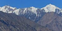
Bakchigir mountains range.
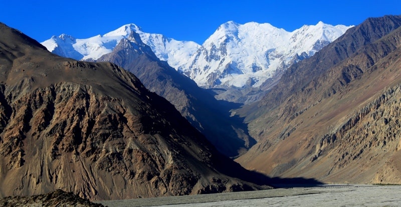
Mountains of Tajikistan.
“It is often believed that the Pamir is a homogeneous orographic region. This opinion is deeply erroneous. In fact, two areas are sharply separated. One is characterized by a glacial landscape and is populated by Kyrgyz. It is called the Pamirs, or rather, the Pamirs. Another area of erosion landscape and is inhabited only by Tajiks. It is most convenient to call it Mountain Badakhshan”
D.V. Nalivkin.
Mountain ranges of Pamirs.
The Bakchigir massif is located in the south of the Pamirs, on the left bank of the Alichur River, in the Gorno-Badakhshan Autonomous Region, east of the Shugnan Range. The length of the ridge is about 35 kilometers, adjacent in the west to the Shahdarinsky ridge.
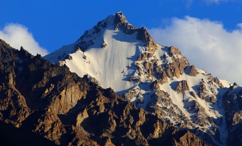
The highest point of the Bakchigir ridge is the Kyzildangi peak, 5706 meters above sea level. Its average height is 5240 meters above sea level, the highest point is Bakchigir peak at a height of 5800 meters above sea level.
The slopes are covered with high mountain desert vegetation, at an altitude of 4200 - 4500 meters above sea level - nival landscapes. The snow line in the north is at an altitude of 4900 - 5150 meters above sea level, in the south - at an altitude of 4900 - 5300 meters above sea level.
The western part of the Bakchigir massif is deeply dissected and rises above the Gunt River valley at 1800 - 2000 meters above sea level. The eastern part is relatively low raised above the Alichur Valley. In the Bakchigir massif there are 125 glaciers with a total area of 72.1 square kilometers.
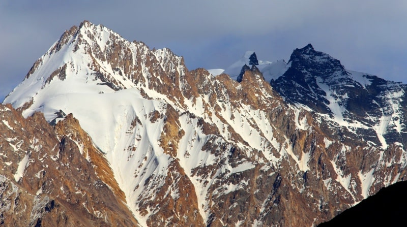
In number and area, valley glaciers prevail (34 and 80%, respectively). The total area of glaciation is 68 square kilometers. The largest glaciers are located on the northeastern slope, in the basin of Lake Yashilkul.
Here, at the base of Bakchigir peak, in the headwaters of three adjacent valleys, glaciers Urta-Bakchigir-I, Urta-Bakchigir-II and Bakchigir lie. These are glaciers with developed nutrition areas and long clean sections of glaciers, descending to 4380 - 4480 meters above sea level.
The height of the firn line is 4900-5000 meters above sea level.
Authority:
"Glaciers." L.D. Dolgushin, G.B. Osipova. Series "Nature of the world." Moscow, the publishing house "Thought". 1989.
Photos
Alexander Petrov.