


![]()
You are here
Kyzylkala ancient settlement.


Tours of the ancient settlements of Mangyshlak.
«Memory is the treasure house of the mind wherein the monuments thereof are kept and preserved»
Thomas Fuller.
Walking tour to Kyzulkala ancient settlement.
The Kyzylkala settlement is located in the central part between the Northern and Western Aktau mountain ranges, the Shetpe-Shayr highway runs 320 meters from the tract to the east, 1.7 kilometers southwest of Mount Sherkala, 16.6 kilometers to the northwest from the village of Shetpe in the Mangistau district of the Mangistau region.
Akmysh Grove is located on the territory of a large medieval settlement of Kyzylkala, founded in the Xth century by people from Khorezm, an outpost for expanding borders in the northern branch of the great trade route - the Silk Road. Dated to X - XIII century.
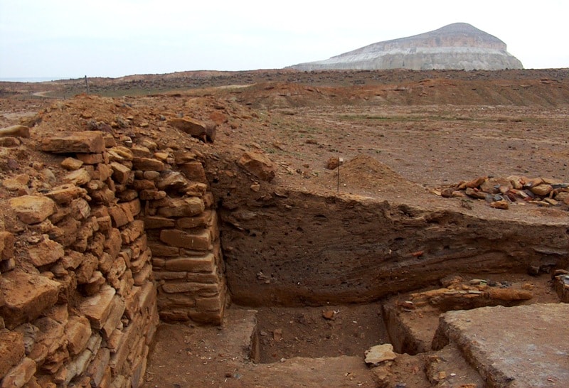
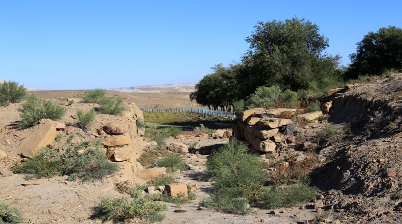
The settlement consists of the remains of a fortification, surrounded by numerous estates along the perimeter. Archaeologists have speculated that in written sources this site is referred to as the impregnable fortress Mankyshlak (according to one of the versions, the name translates as “Large settlement”).
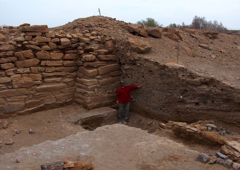
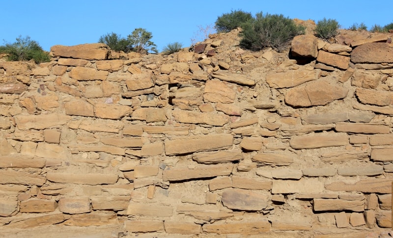
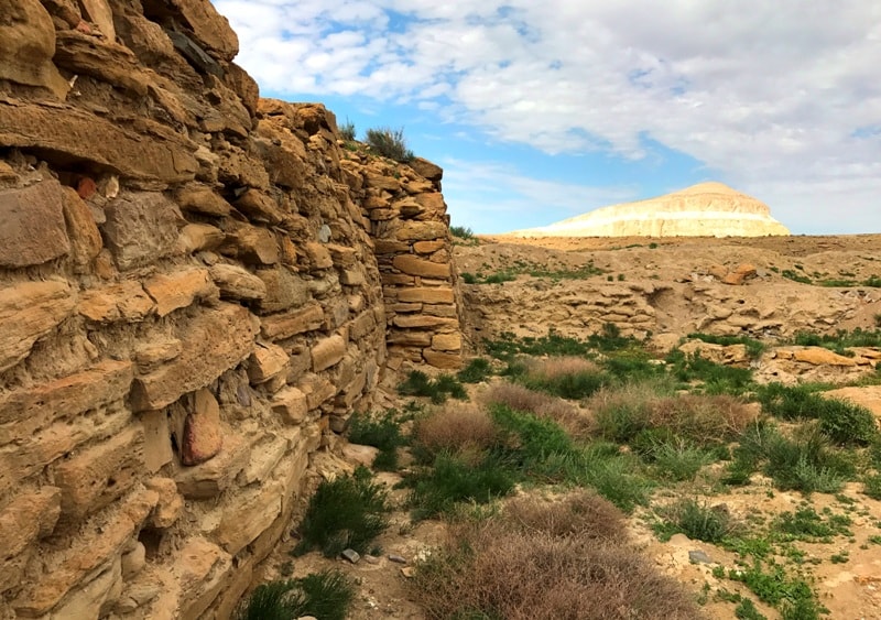
In the site of Kyzylkala, there really are remains of a large fortress, the walls of which were fortified with massive stone blocks and fortified with twelve towers. The fortress is surrounded by a large civil settlement.
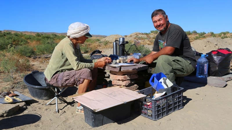
It was a rich city of merchants and craftsmen. In winter, local nomads set up their yurts around the settlement. Here they made pottery and glassware, processed iron and copper, made jewelry. During excavations on the square of the settlement, archeologists find in large quantities fragments of millstones and iron sickles, which testifies to the prosperity of agriculture in the mountains and valleys of the Karatau.
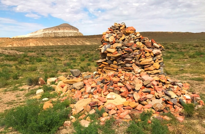
Findings of individual artifacts allow to determine the extreme limits of the goods delivered here - Iranian tableware, Egyptian and Chinese beads, Baltic amber. The settlement was abandoned in the XIII century after the defeat of Khorezm by Genghis Khan and the violation of the trade message.
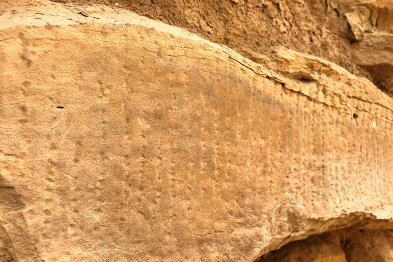
Now, the entire area of the settlement is littered with fragments of pottery and broken red brick, which is why it is called Kyzylkala (Red City). In the middle of the north-west wall, the main gate is arranged. On the protruding elements of masonry on the outside of the walls of the fortress are read the corner and two intermediate towers.
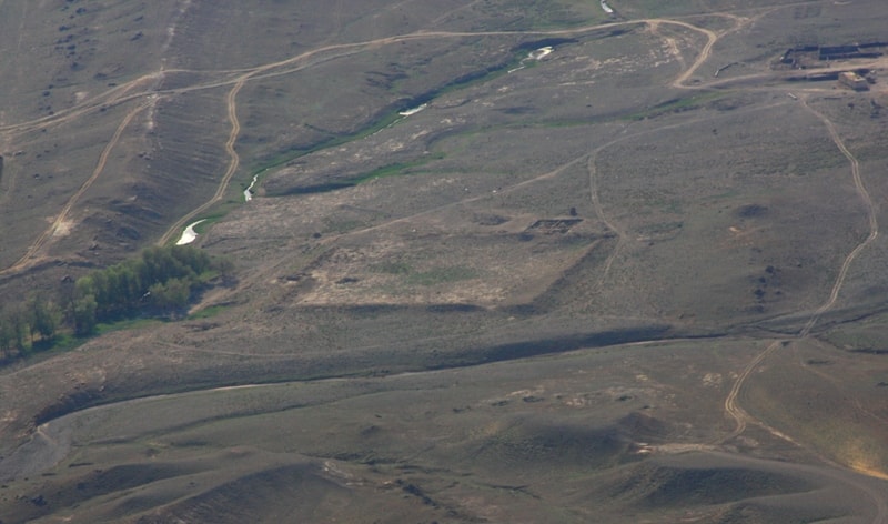
The main hillfort stretches along the two beds of the channel from north to south for 700 meters with a width of 400 meters. The channels in the north merge into a single channel. Their width reaches 15 - 20 meters, with a depth of 5 meters.
The eastern channel (the local name is the spring of Akmysh) has a weak water content in several weak springs. The settlement consists of the remains of a fortification, surrounded by numerous estates along the perimeter.
The reinforcement is clearly visible through the high shaft (the height of the shaft is up to 3 meters) with visible elements of massive stone masonry of armor-clad type 1.2 - 2 meters wide. In the middle of the north-west wall, the main gate is arranged.
Structurally, they are formed by two towers at the ends of the walls with an axial displacement, which determines the diagonal passage. From the protruding elements of the masonry on the outside of the walls of the fortress, one can see corner and two intermediate towers, a total of 13.
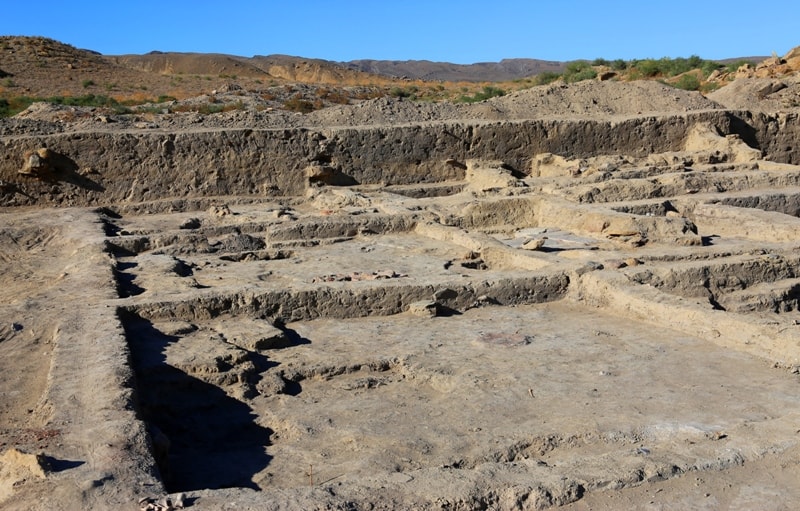
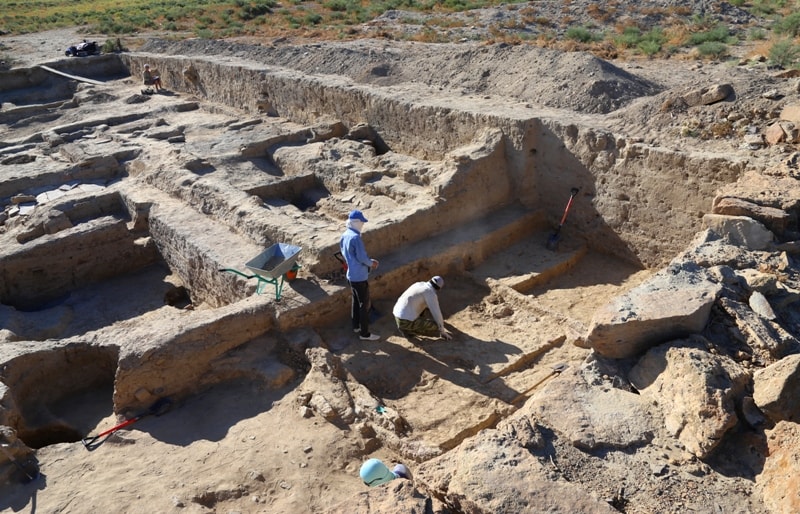
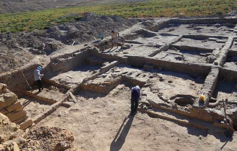
The towers protrude an average of 0.6 m. The civil settlement complex (Rabat) is well traced to the places of mass distribution of lifting material - pottery shards, fragments of animal bone fragments and other finds, as well as the foundations of buildings.
Foundations (fully or fragmentary) are determined by masonry at the level of the day surface or the accumulation of rubble stone. In 2004, more than 200 foundations of residential and residential buildings were discovered without taking into account residues that were not found on the surface of raw structures.
Taking into account the newly identified features of the layout of the settlement, its area is 50 hectares.
Geographic coordinates of the Kyzylkala settlement: N44 ° 14'46.38 "E51 ° 59'15.60"
Authority:
Andrey Astafev, Aktau town.
Photos by
Alexander Petrov.