


You are here
Ridge Tengri-Tag.

Ascensions in the ridge Tengri-Tag.
“Thought is invisible nature”
Heinrich Heine.
Travel in ridge Tengri-Tag in Central Tien Shan.
East part of the Central Tien-Shan, under the name Tengri-Tag, represents knot of the highest raisings of all Tien-Shan mountain system. It is located on both sides of the ridge opened in 1943 Meridional, passing to the east of the 80th meridian.
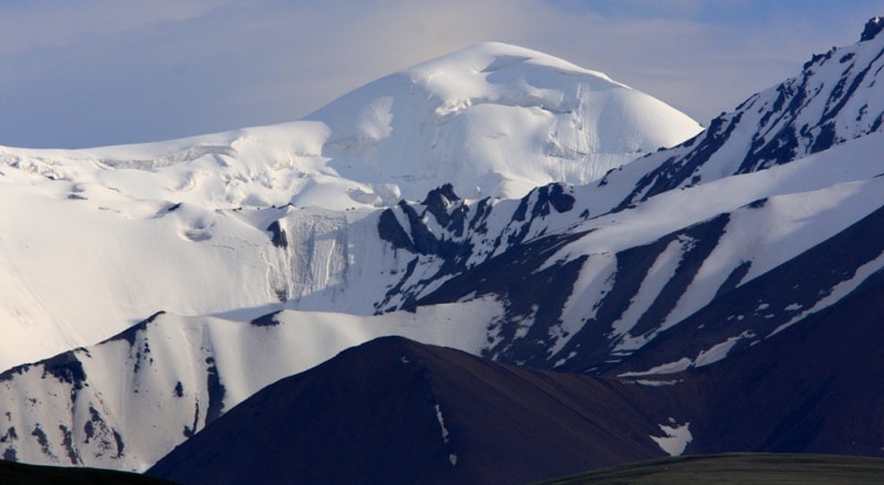
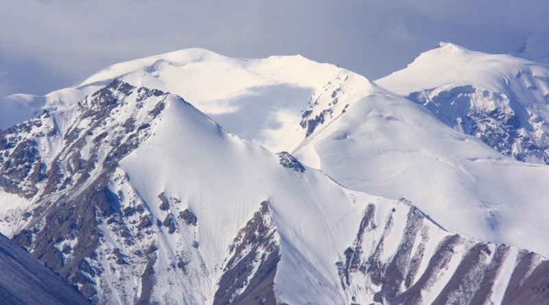
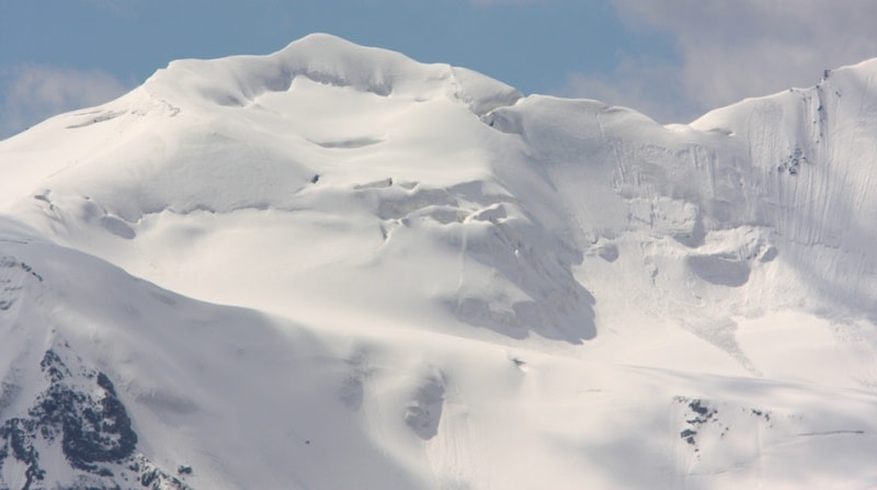
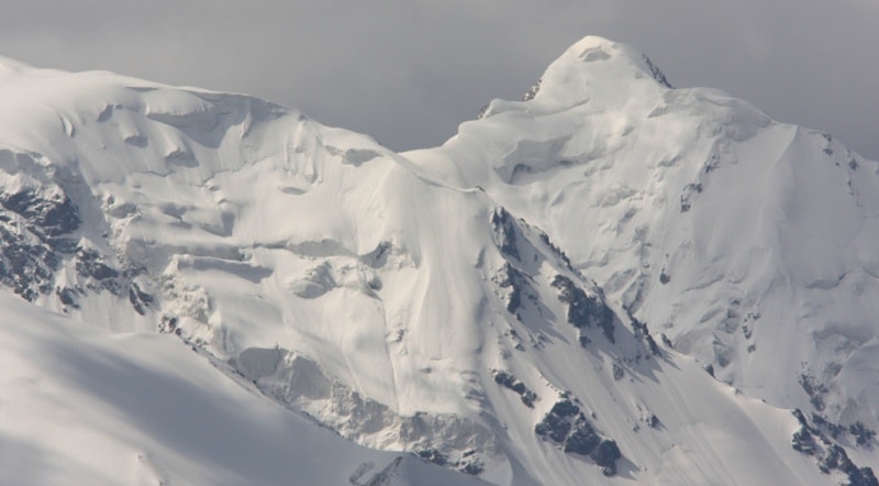
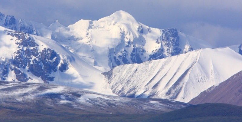
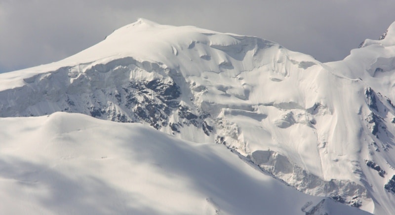
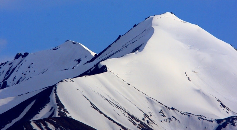
The area occupied by Tengri-Tag if to limit it to the ends of the glaciers spreading from mountain knot extensively is equal to 9 000 kilometers square (Ratsek, 1946). If from tops to look at Tengri-Tag, then before the amazed observer the sea of peaked, eternal and snow tops, with glacial in different directions spread.
Their surface, especially on the South, an icefalls, chaos of cracks. Glaciers of Tengri-Tag give an enormous amount of water. They feed the Tarim River bringing the waters along the southern sole of Tien-Shan to the legendary lake Lob-Nor which so long looked for and eventually N. M. Przhevalsky reached.
The name "Tien-Shan", according to a professor of the Tashkent State university of V. I Lenin, the doctor of geographical sciences of X.X. Chasanof entered geographical science rather recently. On the Russian cards of the beginning of the XIXth century Tien-Shan was called the Kyrgyz mountains because on all huge extent of the territory of the highland from the West on the East, equal 2500 km from Tashkent meridian to Be rude in Central Asia, it is inhabited many centuries by Kyrgyz.
This name (Tien-Shan) in geography was introduced by the famous German geographer Alexander Humboldt in the middle of the last century that is, literal translation on China language of the old tyurk name "Tengri-Tag" for the first time.
Tien-Shan and Tengri-Tag in Russian sound identically: "Heavenly mountains". The modern scheme Tengri-Tag, for the first time in our works in 1946 and later - 1949, 1953, 1954, looks as follows. From the West on the East there pass northern and southern chains of Tien-Shan.
The northern chain borders on the Dzungarian plain, southern - with Tarim. The southern chain in the center of the site of the ridge Kokshal-Too breaks ruble Sary-Dzhaz, on Halyktau site - river Muzart and a deep pass saddle of the same name.
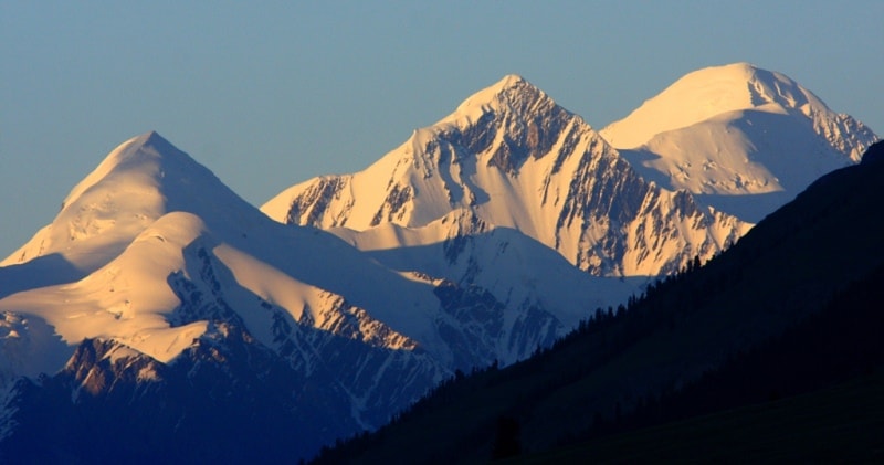
Between these breaks almost in the center northern and southern chains are connected by the ridge Meridional. Its southern and highest point should be considered peak of Military topographers of 6873 meters above sea level.
From this top the ridge was stretched to the North on 55 km where comes to an end with top of 4100 meters above sea level. Between extreme points of the Meridional ridge there is a number of very high tops - 6814, 6181, 6565 meters above sea level, Nagel peak of 6800 meters above sea level, peak of Friendship, 6210, 6276 meters above sea level Przhevalskiy peak and 6146 meters above sea level the Marble wall.
Authority:
“Big Soviet encyclopedia”.
Photos
Alexander Petrov.