


You are here
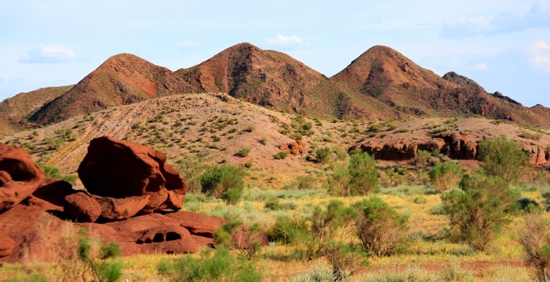
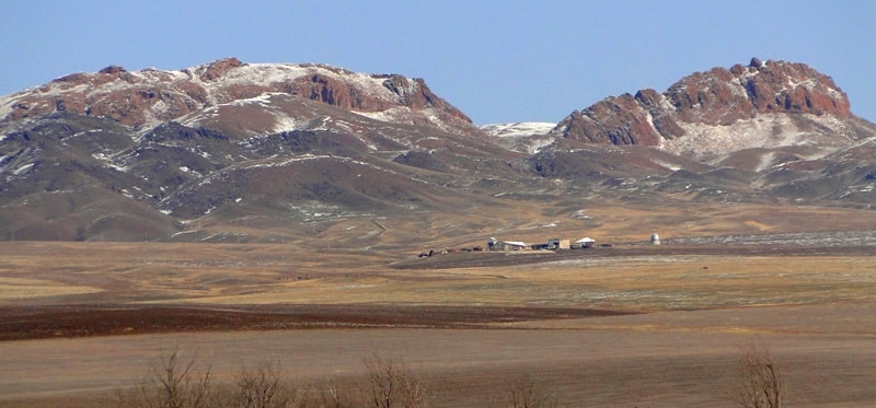
Mountain ridge Altyn-Emel.

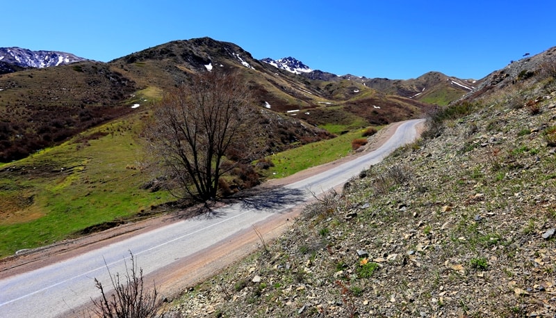
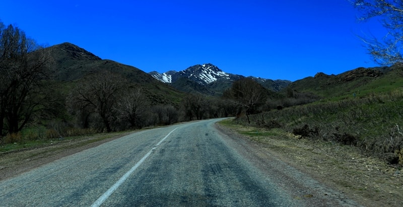
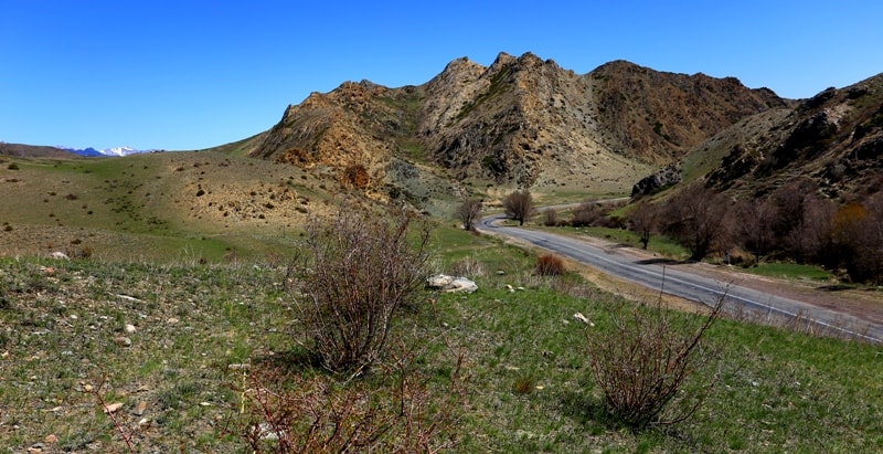
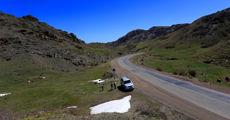
Trip to park Altyn-Emel.
“What is Chaos? It is the Order destroyed during Creation”
Stanislaw Jerzy Lec.
Altyn-Emel park Tours.
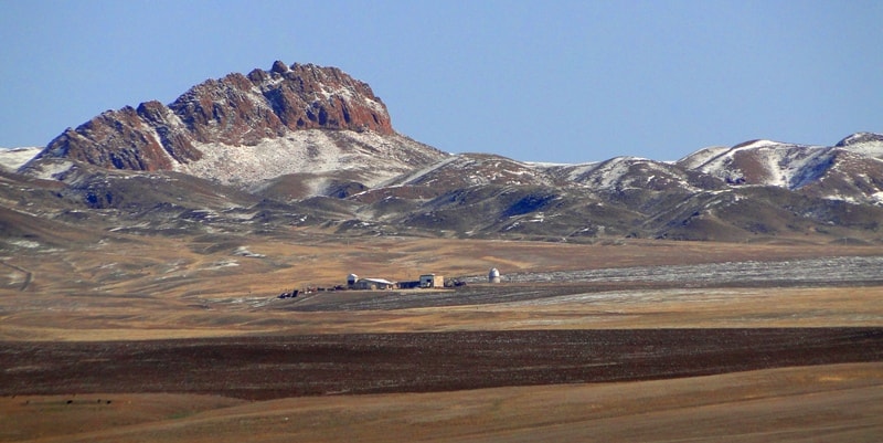
Altyn-Emel Ridge in southern Kazakhstan and its foothills due to saturation with unique geological structures and, in particular, with the diversity of their nature, could hardly be compared with any other region of Kazakhstan.
Here you can see visual illustration of the geological processes that occurred within a few hundred million years and continuing into the present. In addition to the monuments of inanimate nature, Altyn-Emel allows to get acquainted with the most interesting ecosystems, as well as with archaeological sites. It is no accident that here was created and functions the state national natural park. National Park Altyn-Emel is the largest reserve in Kazakhstan.
Occupying the area of 460000 hectares, it extends for 135 km along the right bank of the Ili River and includes various landscape zones. The park was created to save the natural environment of mountain, steppe, desert, forest, riparian and wetland landscapes with characteristic biological communities. Flora of the Park has about 1800 species only of vascular plants, belonging to 10 types of vegetation.
The fauna is represented by 300 species of vertebrates and almost 6000 - invertebrates. Wild ass, gazelle, saker falcon and other animals (about 100 species), as well as a number of endemic plants are entered into the Red Book.
Wild ass is a newcomer of the park: its population was relocated from the former island Barsakelmes (Aral Sea) and has successfully got acclimatized. Currently works on the introduction of Przewalski’s horses are carried out in the park.
The continuing interest of tourists attract valuable archaeological sites - petroglyphs and unique in size and preservation ancient graves - mounds of Bes Shatyr (five tents). The modern relief of the park was formed in the Neogene as a result of the Alpine orogenesis caused the formation of Zhongar Alatau mountain structures and intermountain Ili depression. In addition to the vertical crust movements the greater role was played by the deformation shear.
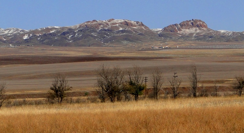
Satellite images show how the position of Ili river bed is changed under their influence. Mountain structures - Altyn-Emel, Kalkan, Katutau and Aktau - are essentially horsts (raised tectonic blocks), continuing their raise. Adjacent grabens (valleys) to a depth of more than 3 km are filled with significant Neogene clayey sediments which are exposed only in the mountains of Aktau, where they form very picturesque landscapes.
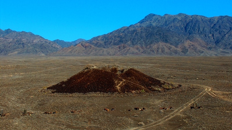
Intense volcanic activity that formed the powerful terrigenous-volcanogenic strata of motley composition, appeared in the Permian and Triassic. The remnants of volcanoes of the central type and their fragments (vents, volcanic cones, subvolcanic bodies, lava and lava-pyroclastic flows) could be observed in many mountain constructions. Their study is of great interest due to their good state of preservation.
The greatest number of similar structures composed of rhyolite, dacite, andesite and basalt, were found in the mountains of Katutau. In the past, there acted large volcanoes, which by their parameters are not inferior to the famous Vesuvius, Etna, Besymyanny.
On the studied territory the intrusive activities is revealed as well. Devonian intrusive rocks compose the small area massifs, which are exposed in the southern foothills of the ridge Altynemel.
These massifs are composed of granite, granodiorite, diorite and gabbro are less common. Detection of distinctive mud volcanoes, in which emission of clay was accompaniet by basaltic slag, indicates increased volcanic activity in the alpine time. The activity of these volcanoes is referred to the latest time (from a few hundred to several thousand years ago). They were discovered recently near the cordon Besmaya and still insufficiently explored.
According to richness of geological formations that are of great interest for mass tourism, Altyn-Emel surpasses many of the world reserves of the geo-park status. Special geological mapping that should be made here will allow to create exclusively attractive tourist product.
Geographic coordinates of the Altyn-Emel mountain range: N44 ° 25'39.00 "E79 ° 00'03.68"

Authority:
Ilya Fishman, Yuliya Kazakova “Millions of years before the Silk Road. Geoparks in Kazakhstan”. Printing house “Idan“ Kommunal’naya, 39, Almaty, Kazakhstan http://yadi.sk/d/4_6z_blyoxnqe
Photos by
Alexander Petrov.